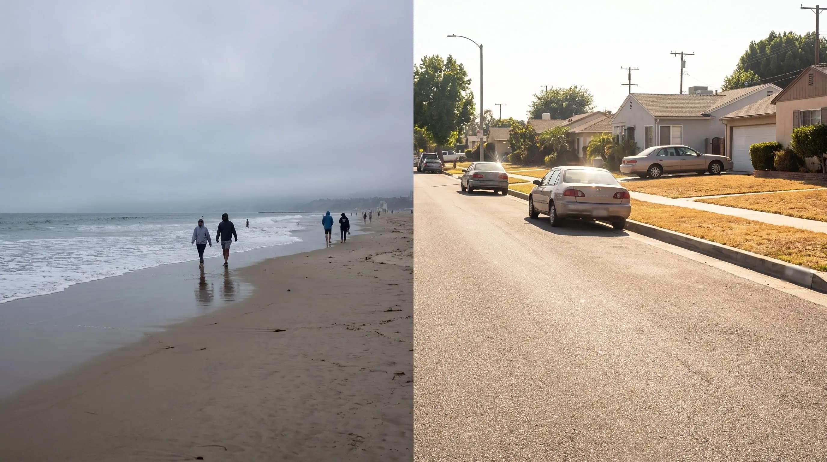
Learn The Layers

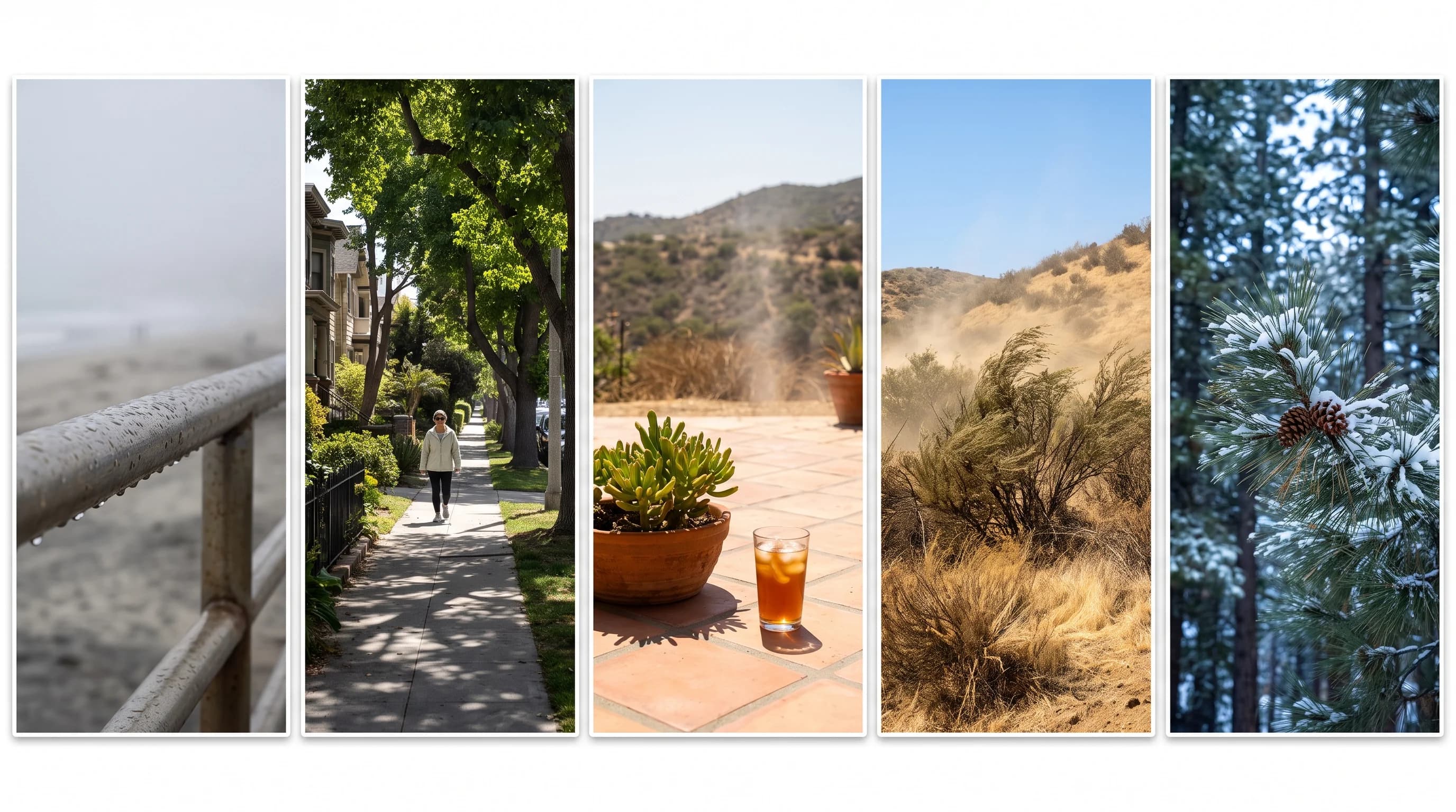
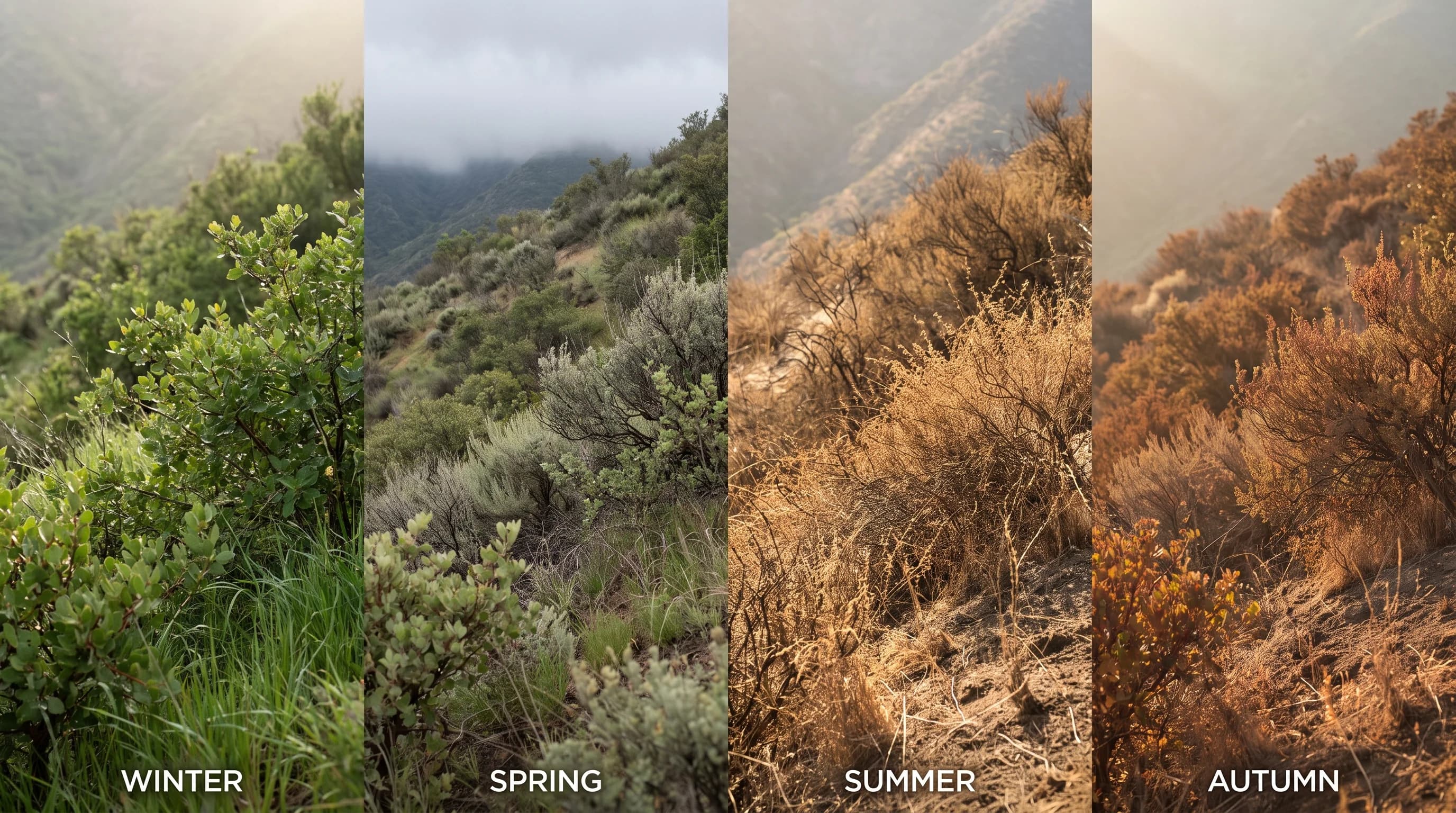
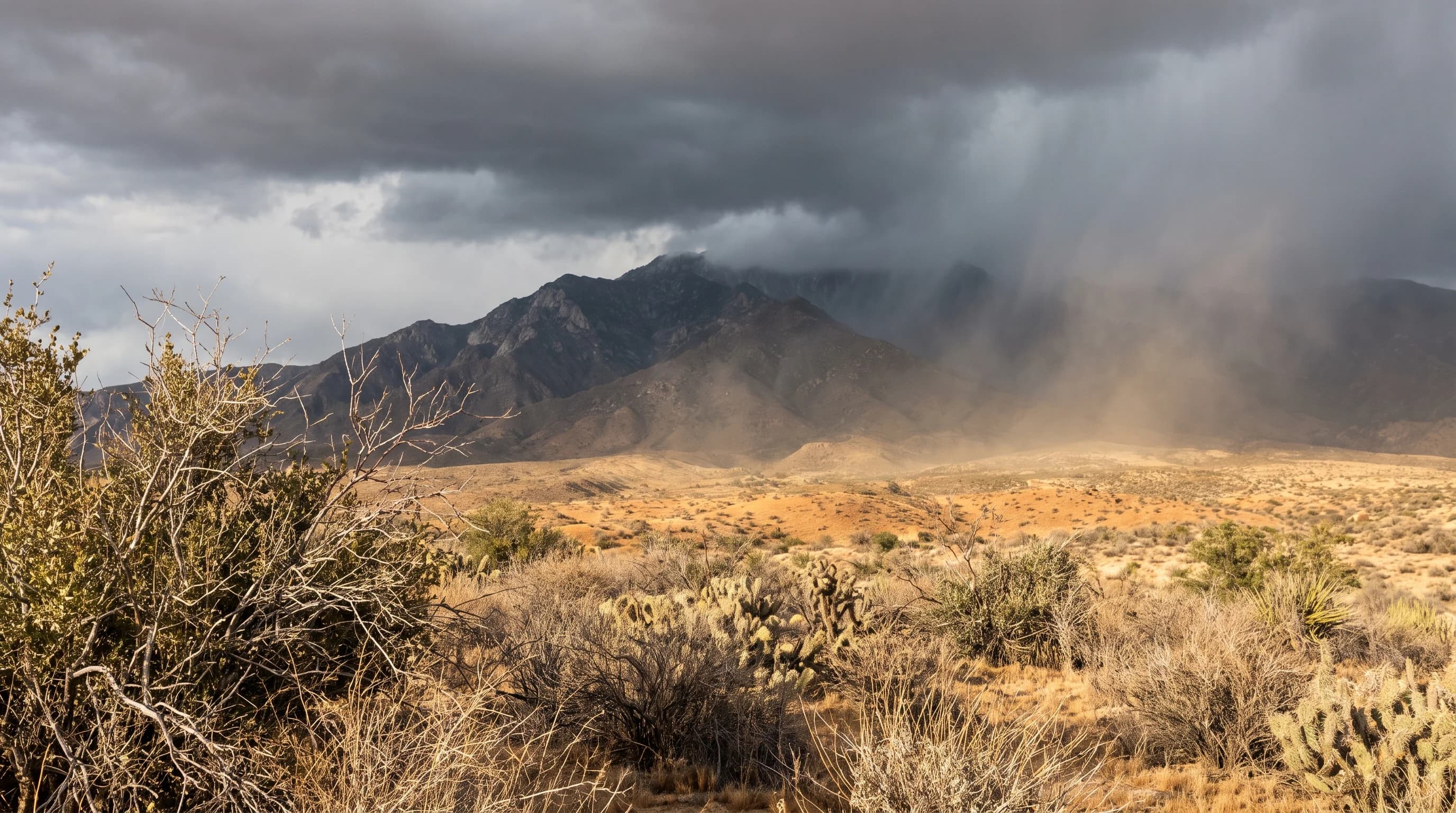
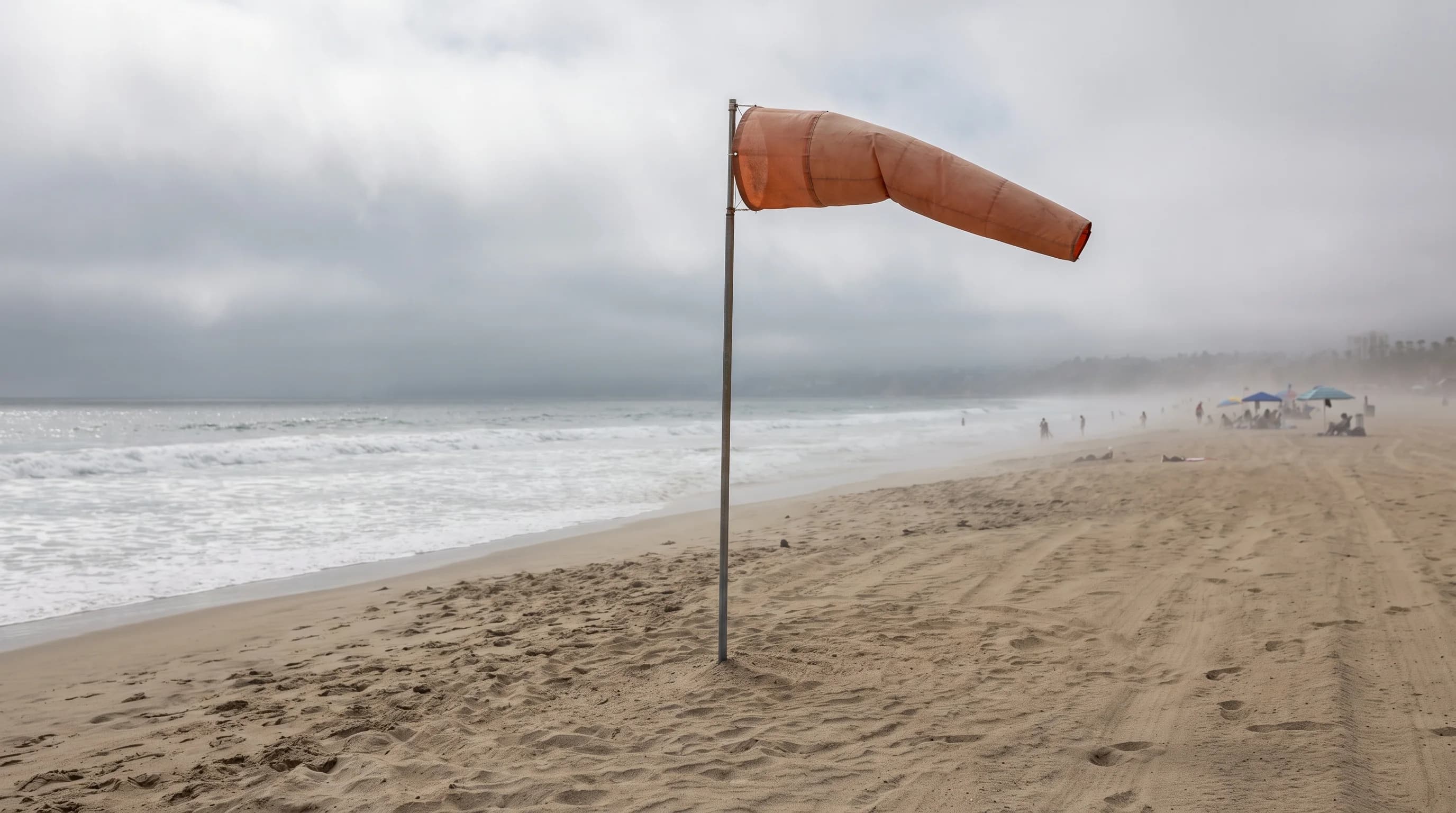
Los Angeles weather explained: smog, Santa Ana winds, fire weather, and Southern California microclimates.

Explore explainers on smog, wildfire weather, flooding, coastal hazards, and the terrain that shapes Southern California forecasts.

Category

Start Here

Foundational explainers for how Los Angeles and Southern California weather actually works, from mountains and microclimates to weather versus climate.

Category

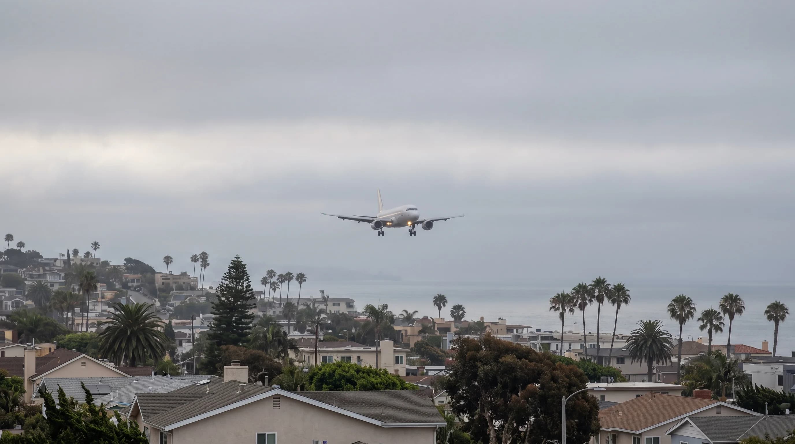
Fog, Marine Layer, and Coastal Weather

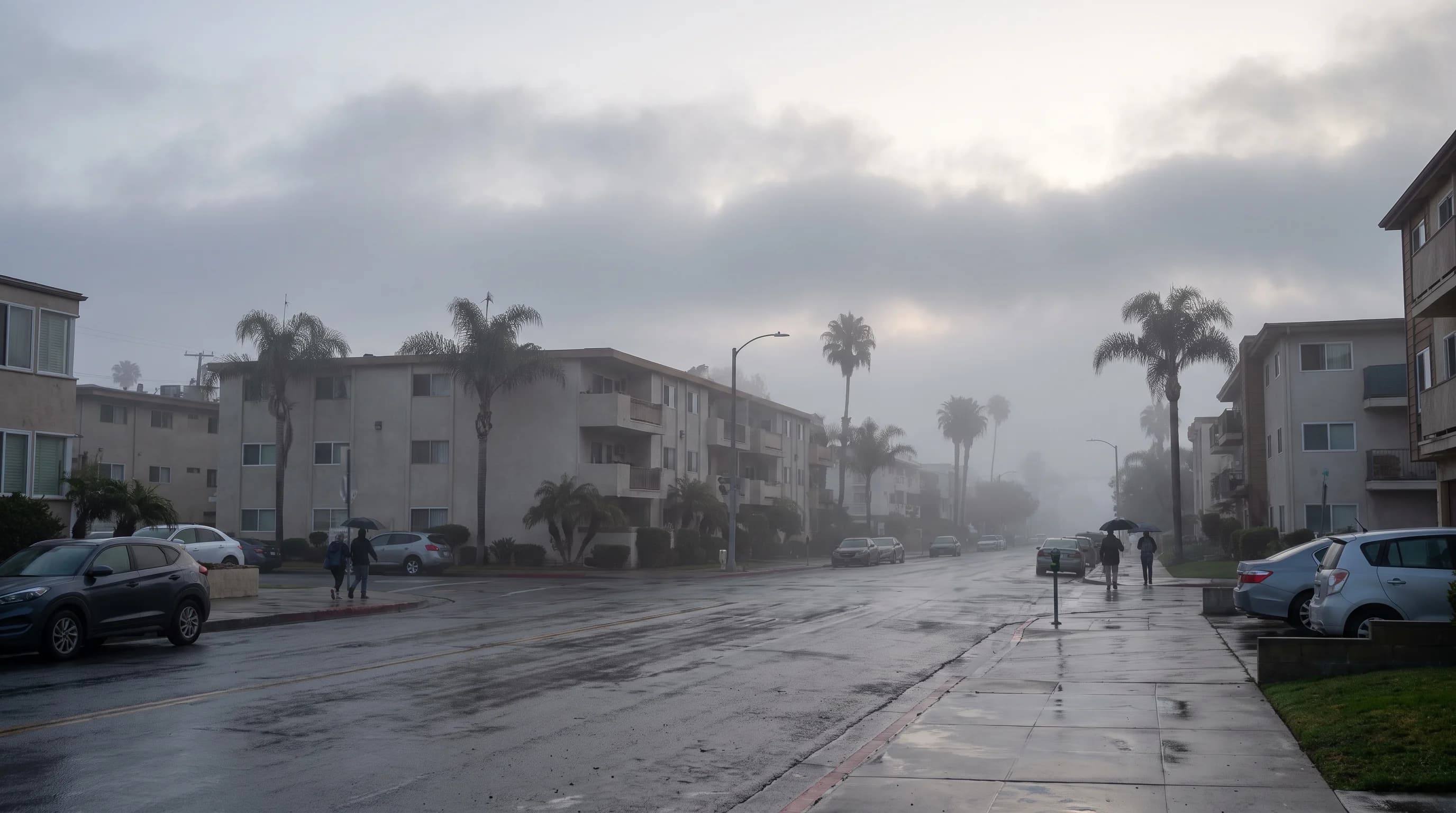
Why the coast wakes up gray, the difference between fog, mist, and haze, and the seasonal marine layer patterns behind May Gray and June Gloom.

Category

Smog, Air Quality, and Inversions

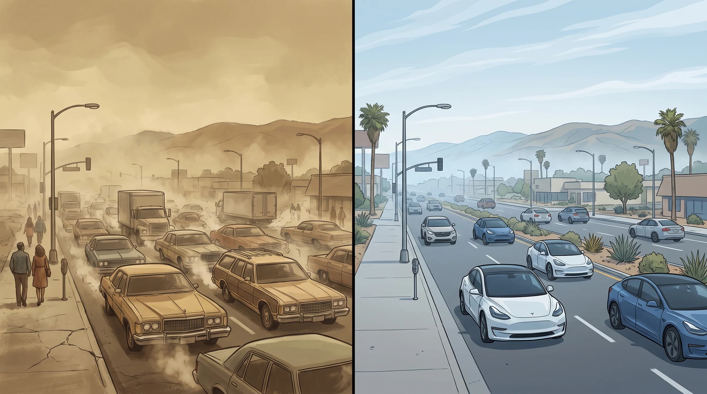
How photochemical smog forms, why temperature inversions trap it in the basin, and how ground-level ozone builds through the day.

Category

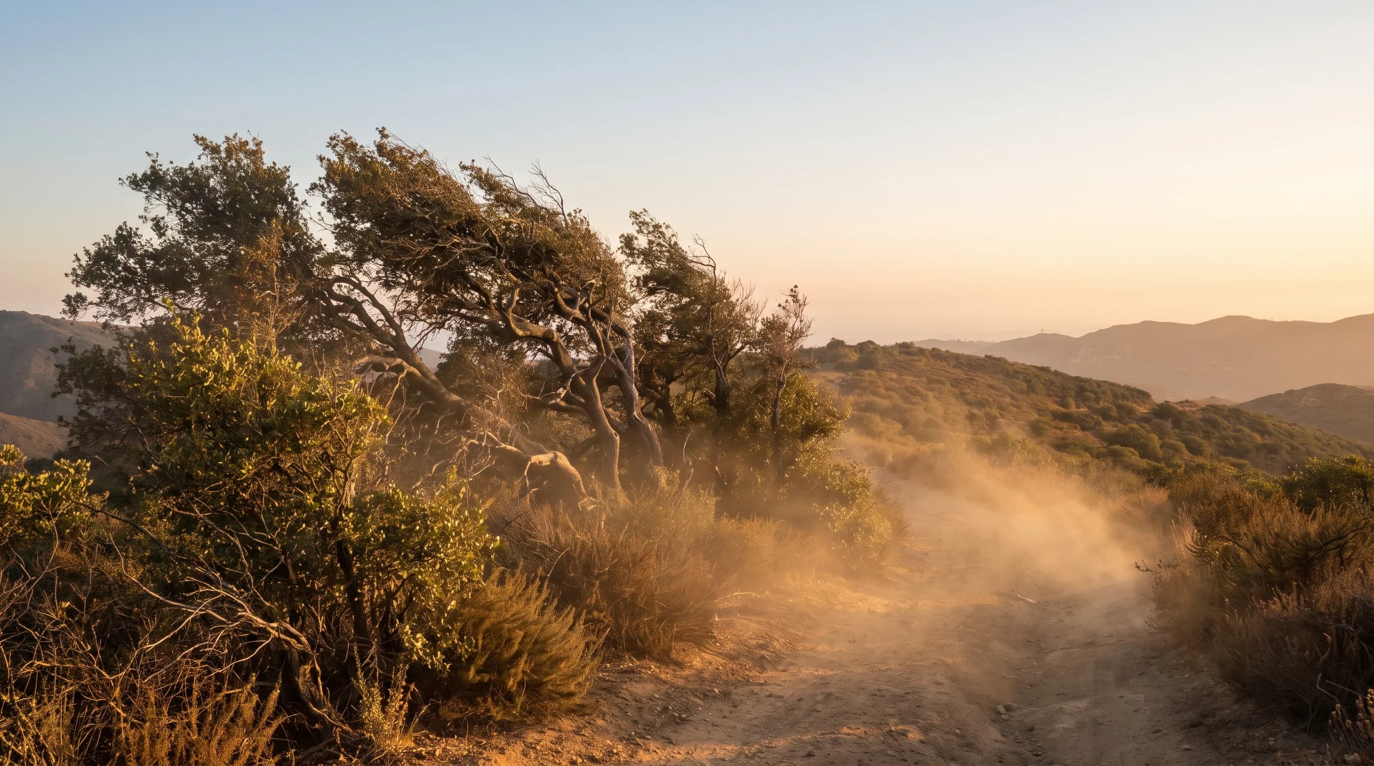
Fire Weather and Santa Ana Winds

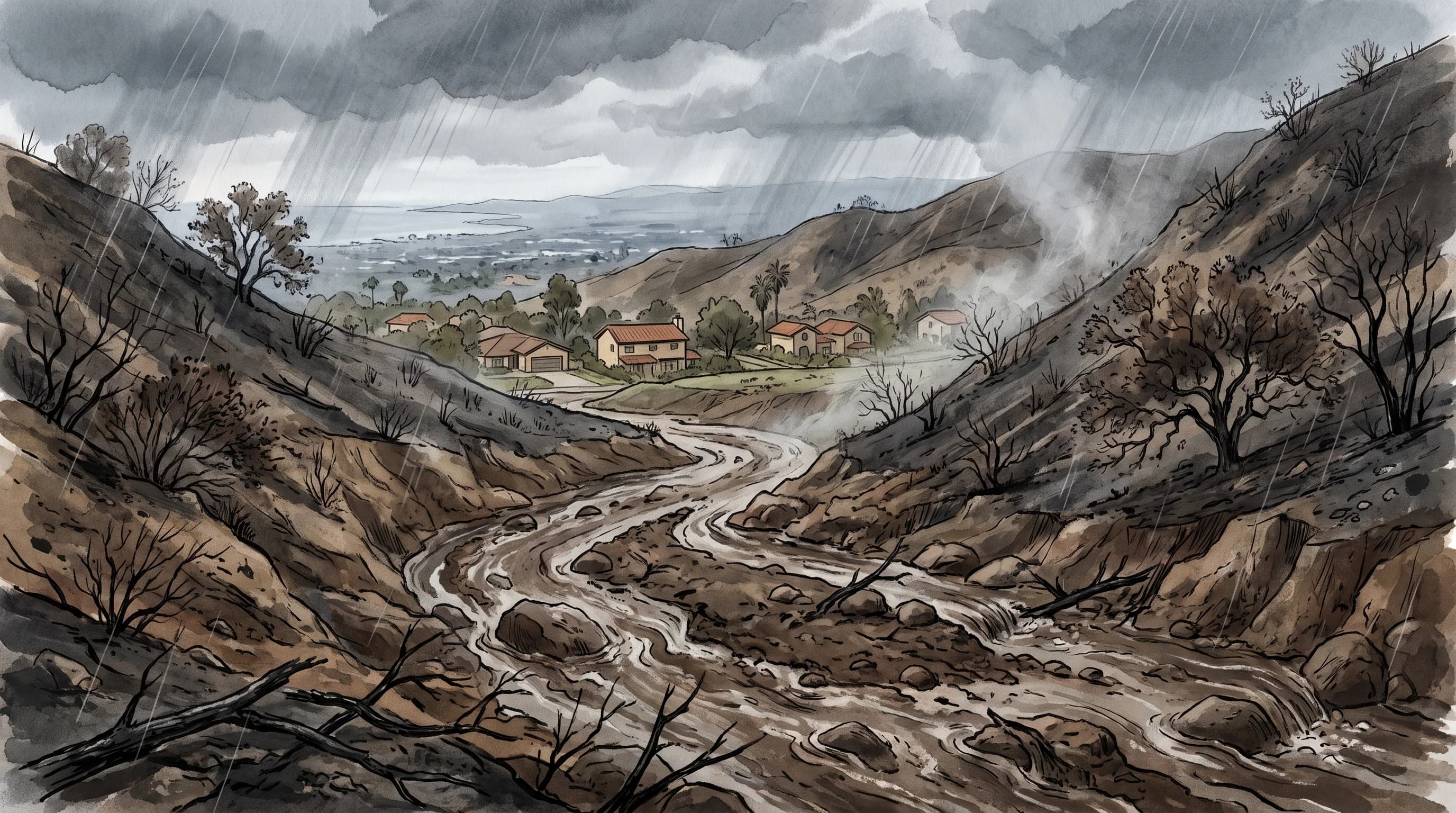
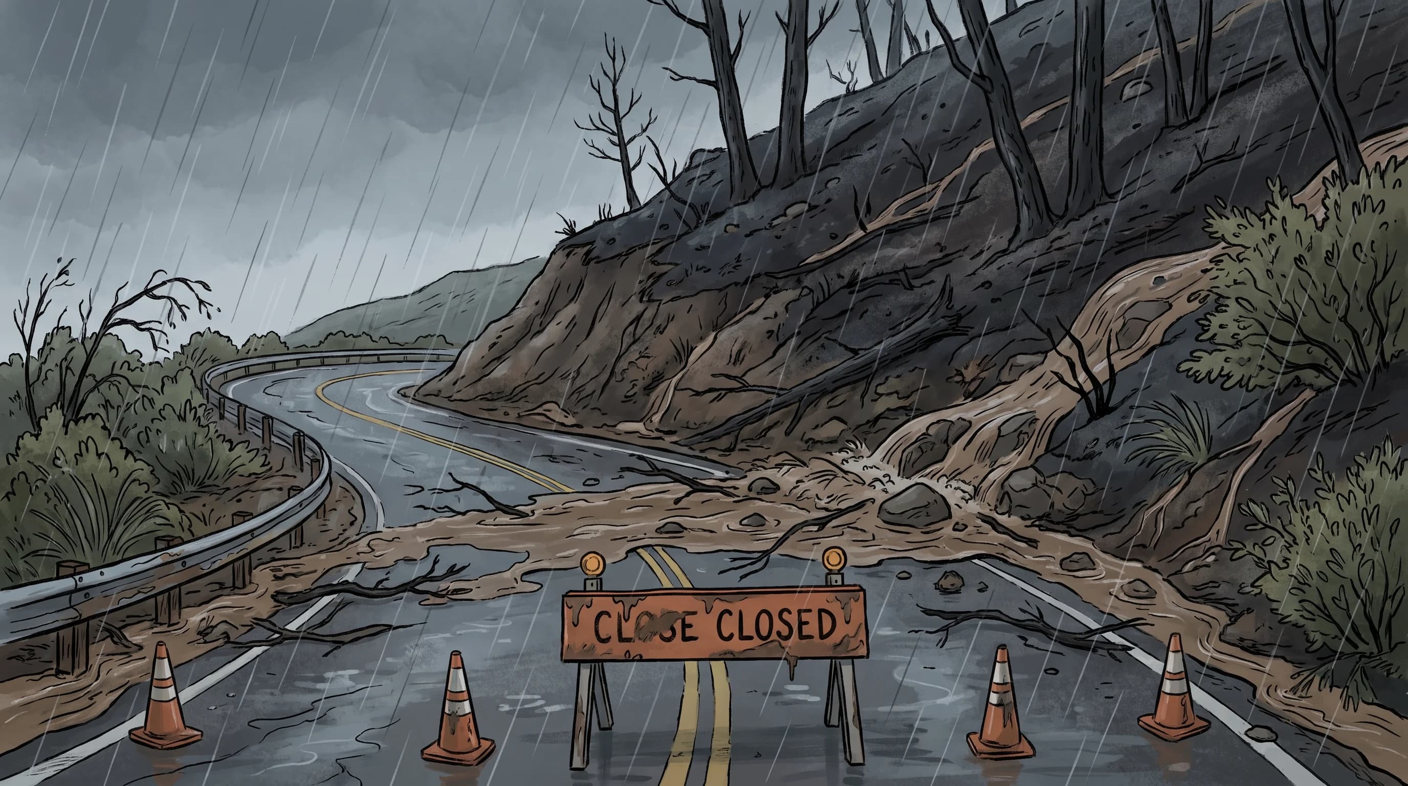
The Santa Ana wind mechanism, red flag warnings, and the debris flows and mudslides that follow a Southern California wildfire.

Category

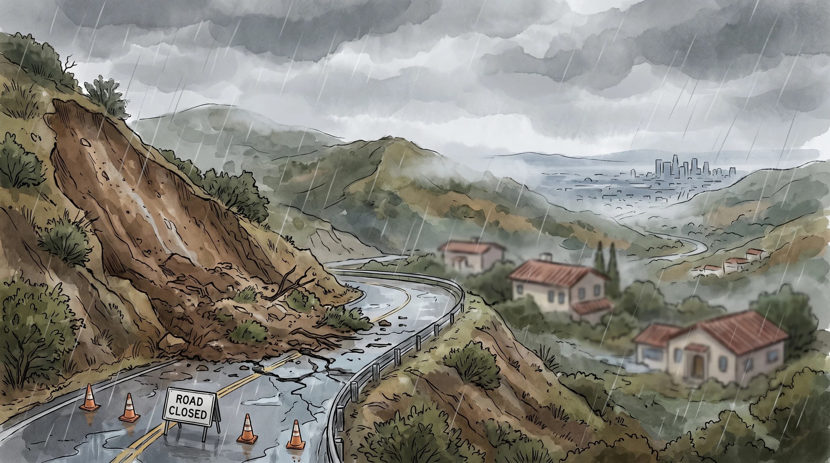
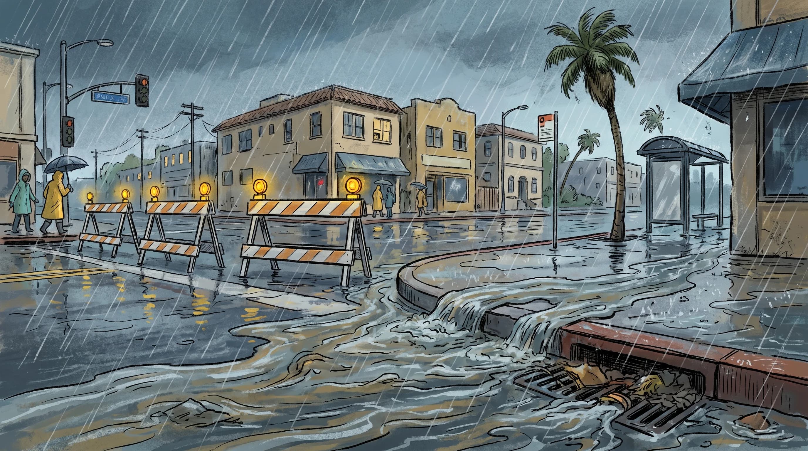
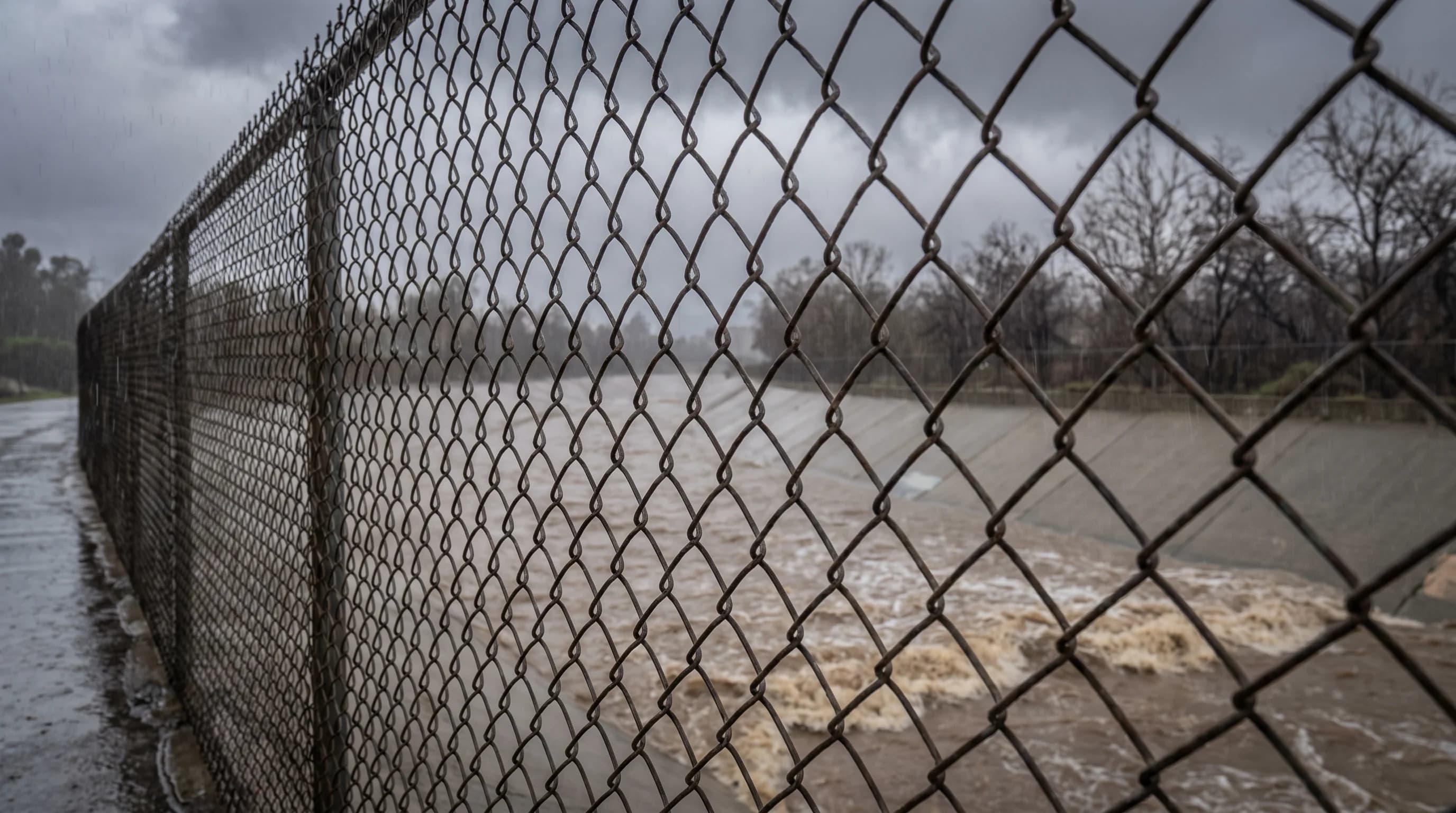
Rain, Flooding, and Storms

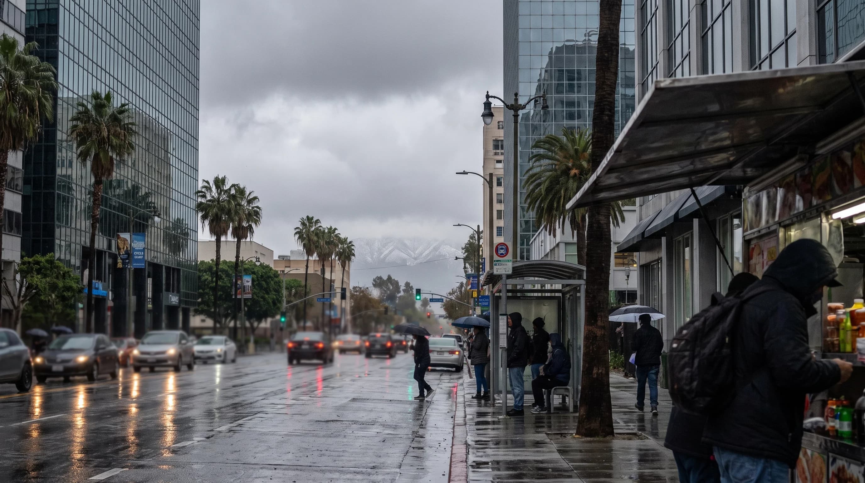
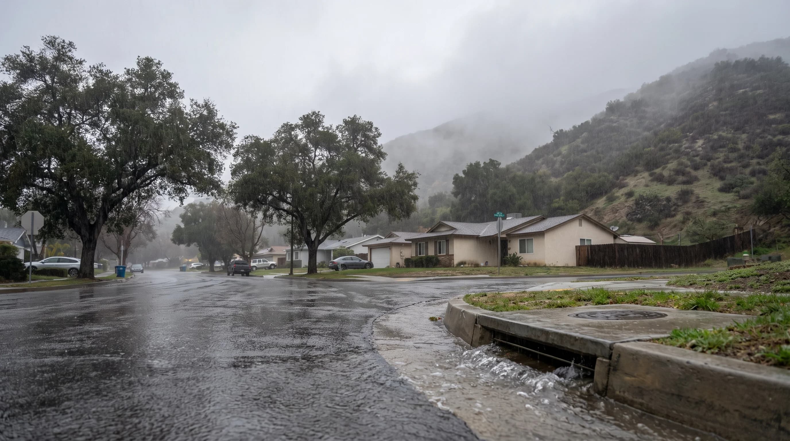
Atmospheric rivers, El Niño versus La Niña, and why flash flooding hits Los Angeles, Long Beach, Orange County, and Palm Springs so fast.

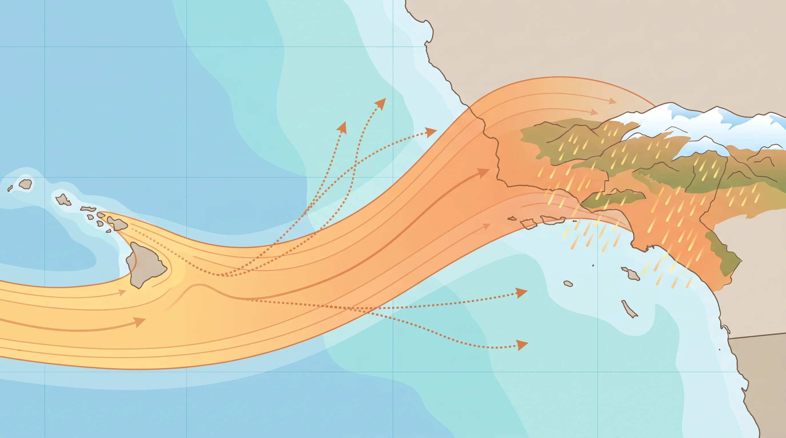
How Atmospheric Rivers Drench Southern California

How Atmospheric Rivers Drench Southern California

Atmospheric rivers carry the moisture behind most of Southern California's biggest rain and mountain snow events. Duration, orientation, and terrain, not the label alone, decide whether one soaks the region gently or floods it.

12 min read →
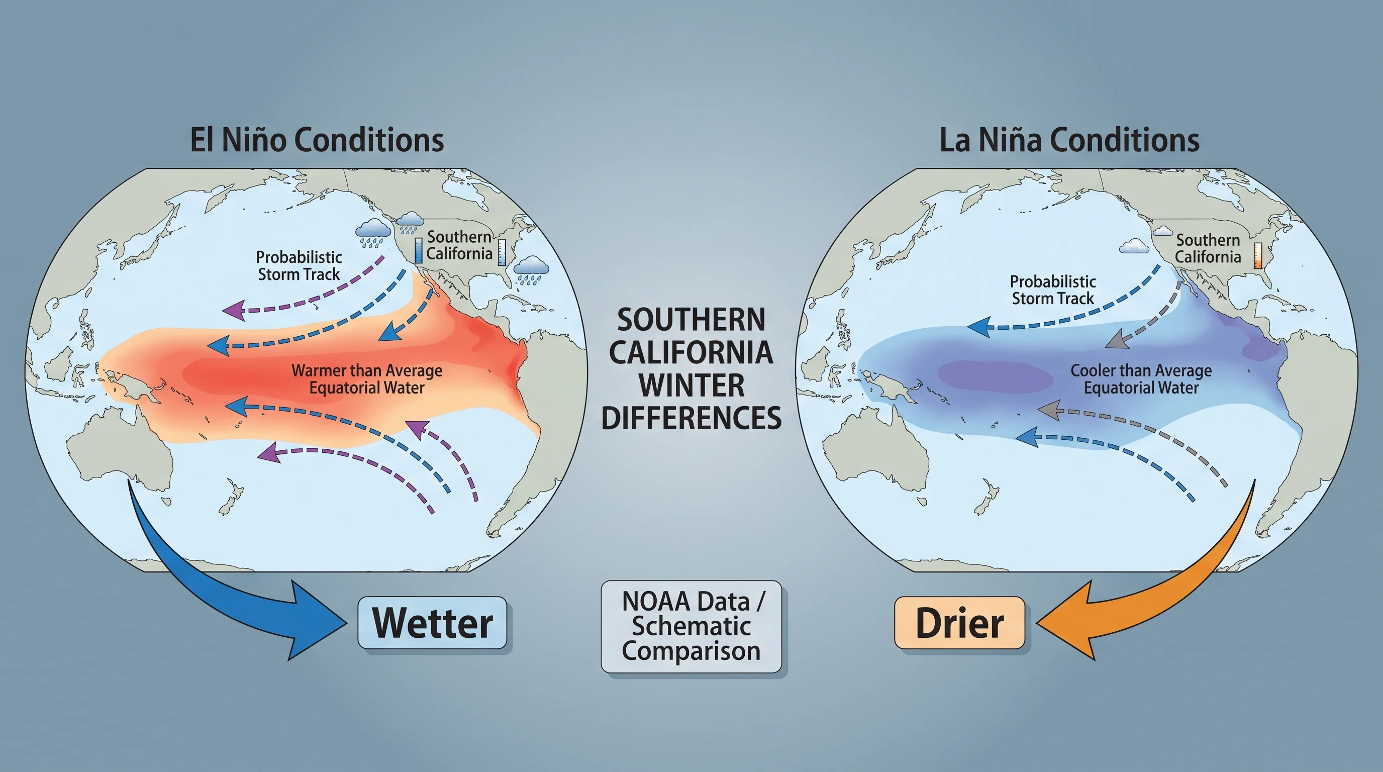
El Niño vs. La Niña: SoCal Winter Differences

El Niño vs. La Niña: SoCal Winter Differences

El Niño and La Niña are opposite phases of the same tropical Pacific pattern that shift the odds of a wet or dry Southern California winter, but neither one locks in the outcome.

10 min read →
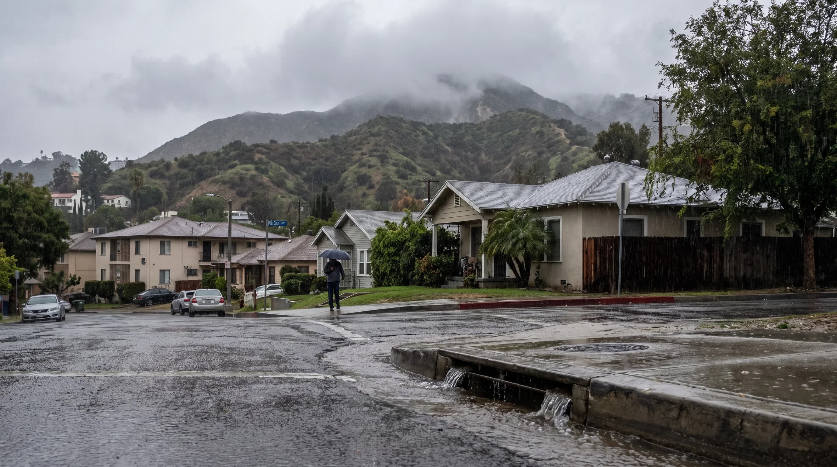
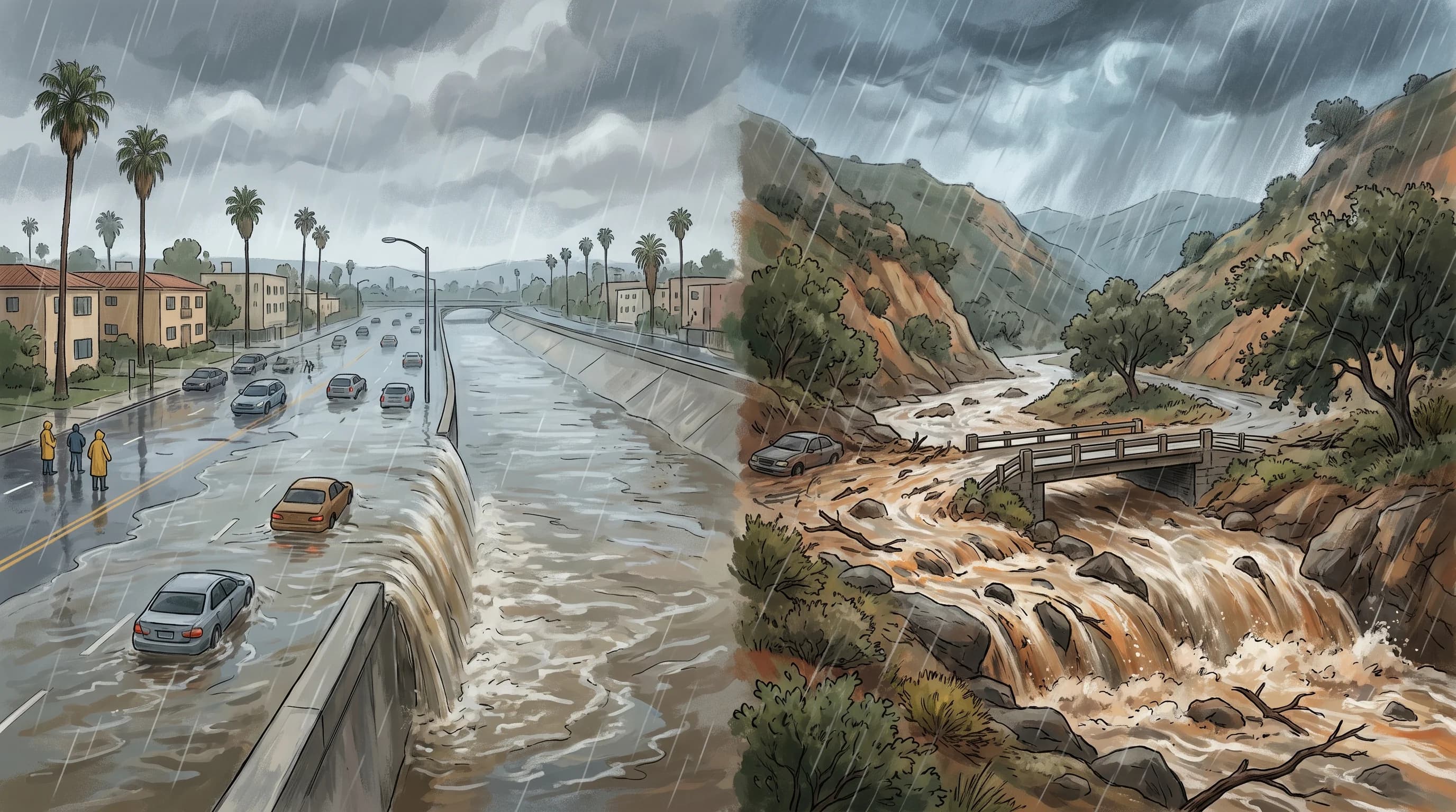
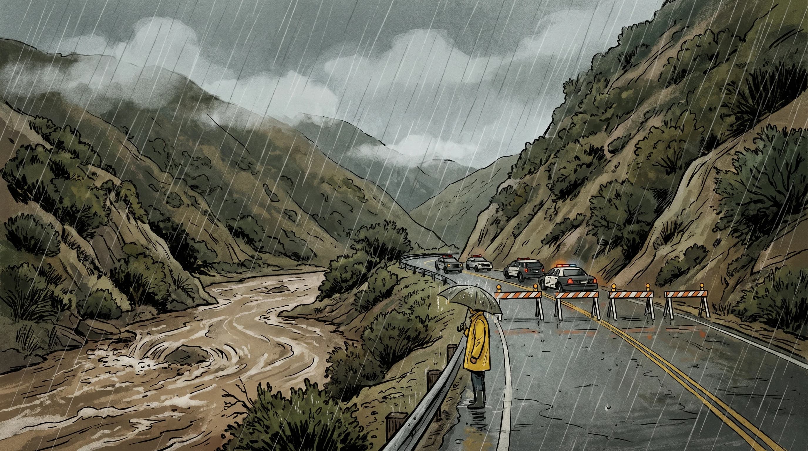
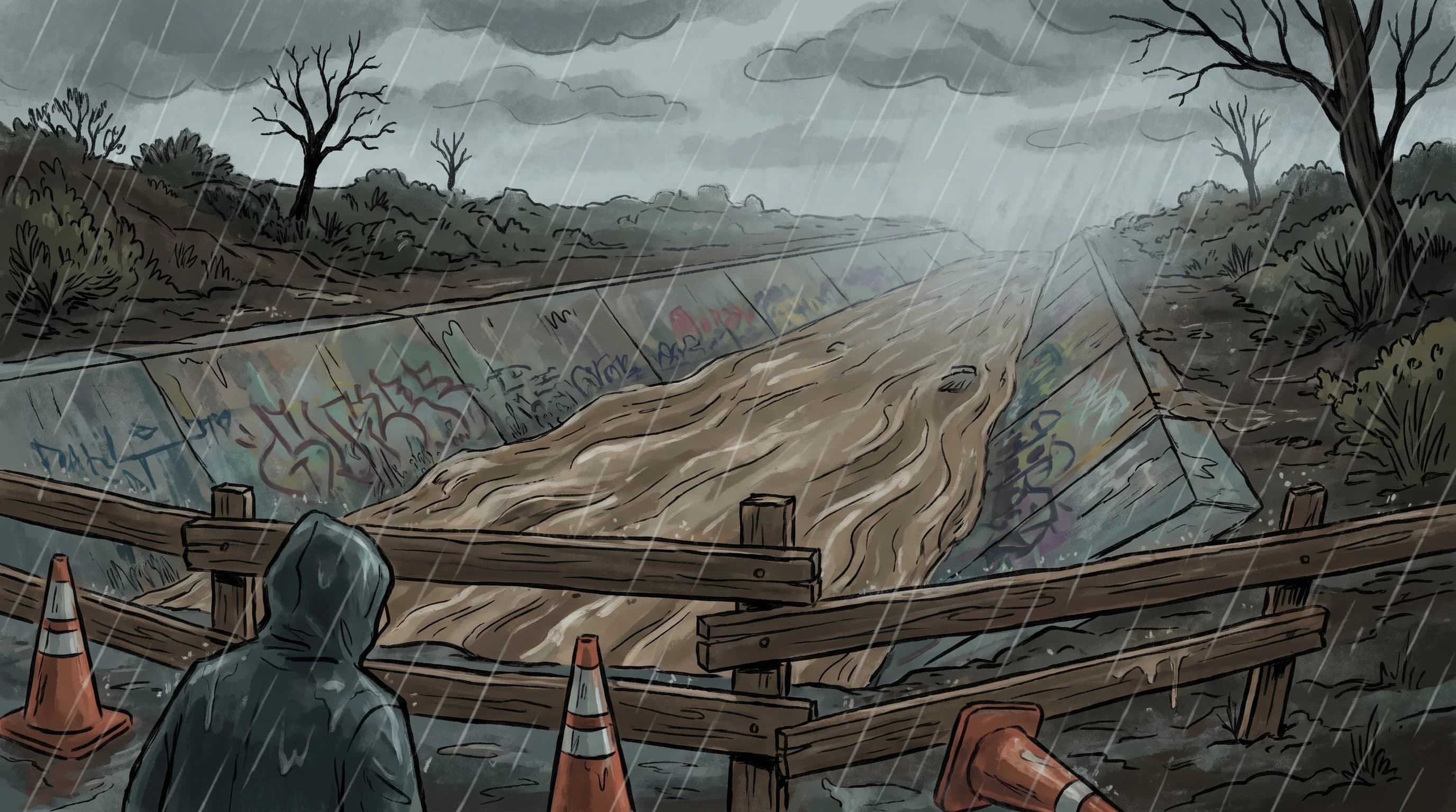
Why LA Floods Fast: Canyons, Burn Scars, Pavement

Why LA Floods Fast: Canyons, Burn Scars, Pavement

Los Angeles can go from dry pavement to a dangerous flash flood in well under an hour. Steep watersheds, paved neighborhoods, and burn scars are why the basin reacts so much faster than the storm outside your window suggests.

11 min read →
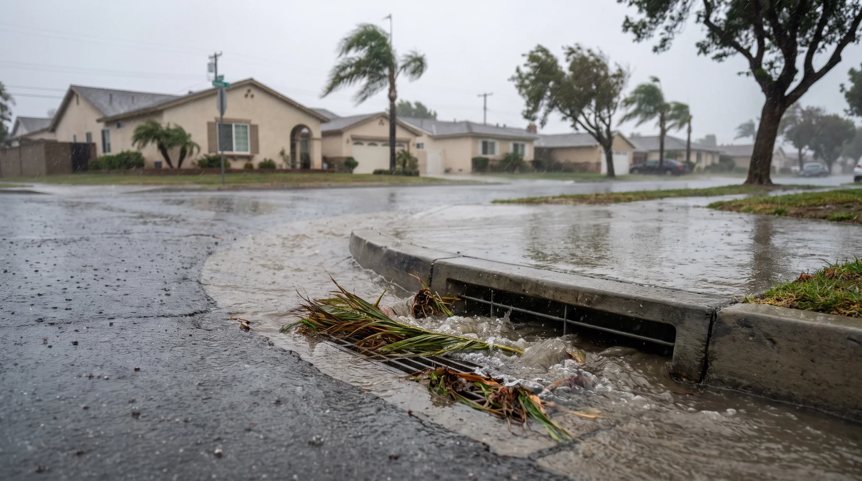
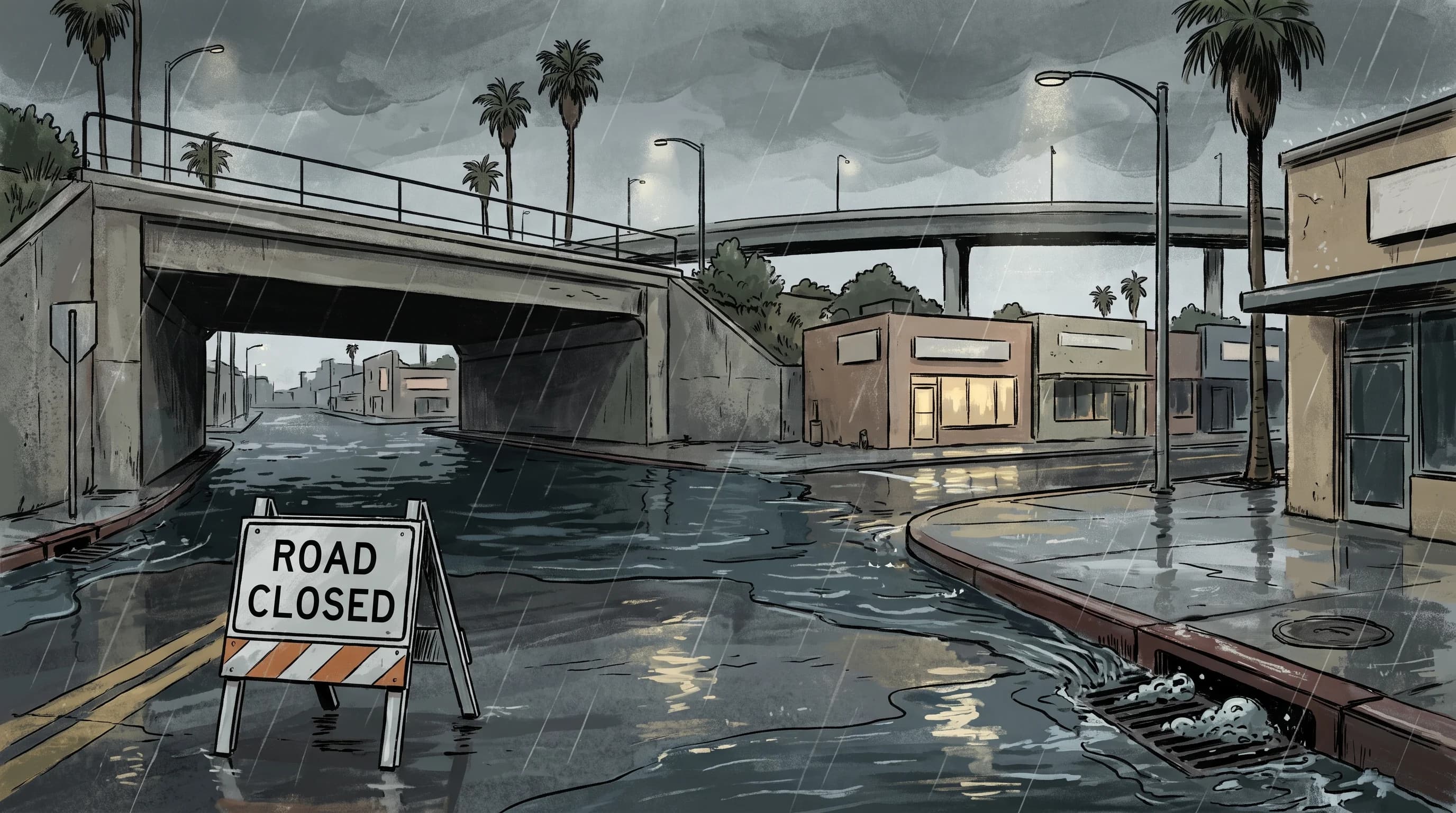
Why Long Beach Floods Fast: Flat Streets, High Tide

Why Long Beach Floods Fast: Flat Streets, High Tide

Long Beach has almost no natural slope to move floodwater, so heavy rain relies entirely on storm drains that a high tide can slow down. Here is what makes this stretch of coast flood differently than the rest of LA County.

9 min read →
Orange County Flash Floods: Canyons, Flats, Tides

Orange County Flash Floods: Canyons, Flats, Tides

Orange County does not have one flash-flood story. Foothill canyons, flat suburban grids, and low coastal streets each flood for a different reason, and the alert you need depends on which one you are standing in.

7 min read →
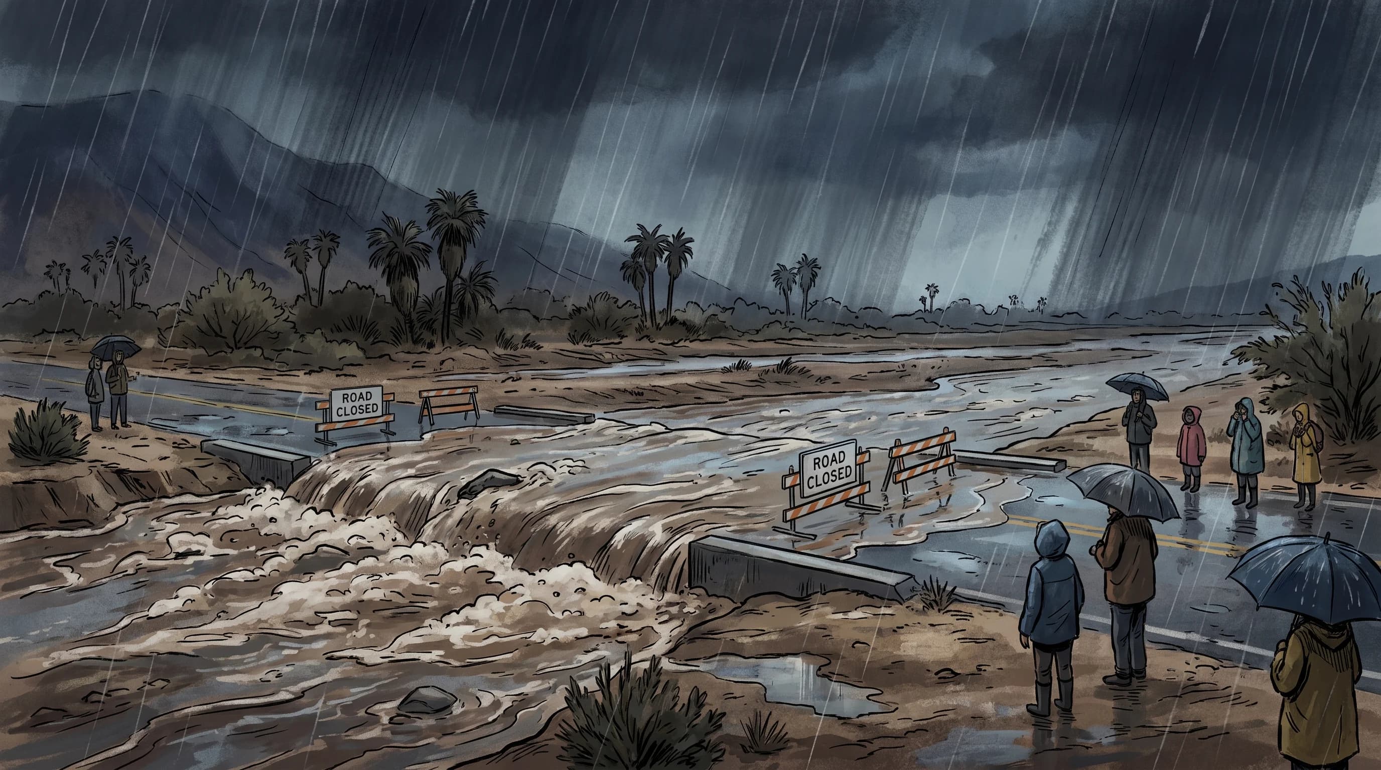
Why Palm Springs Washes Flood So Fast

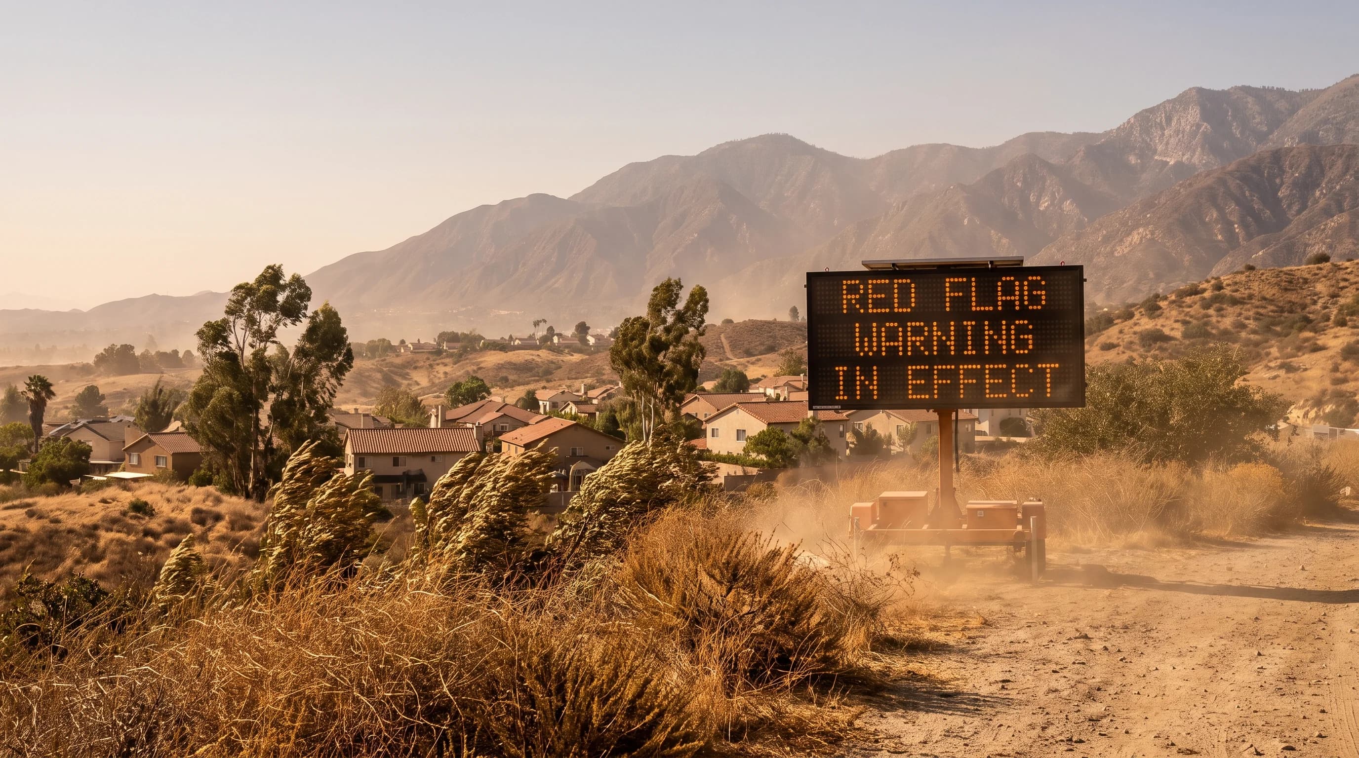
Why Palm Springs Washes Flood So Fast

Palm Springs looks bone dry most of the year, but steep canyons draining the San Jacinto and San Bernardino Mountains can turn a normally empty wash into a fast, muddy torrent within minutes of a monsoon cell or winter storm.

8 min read →
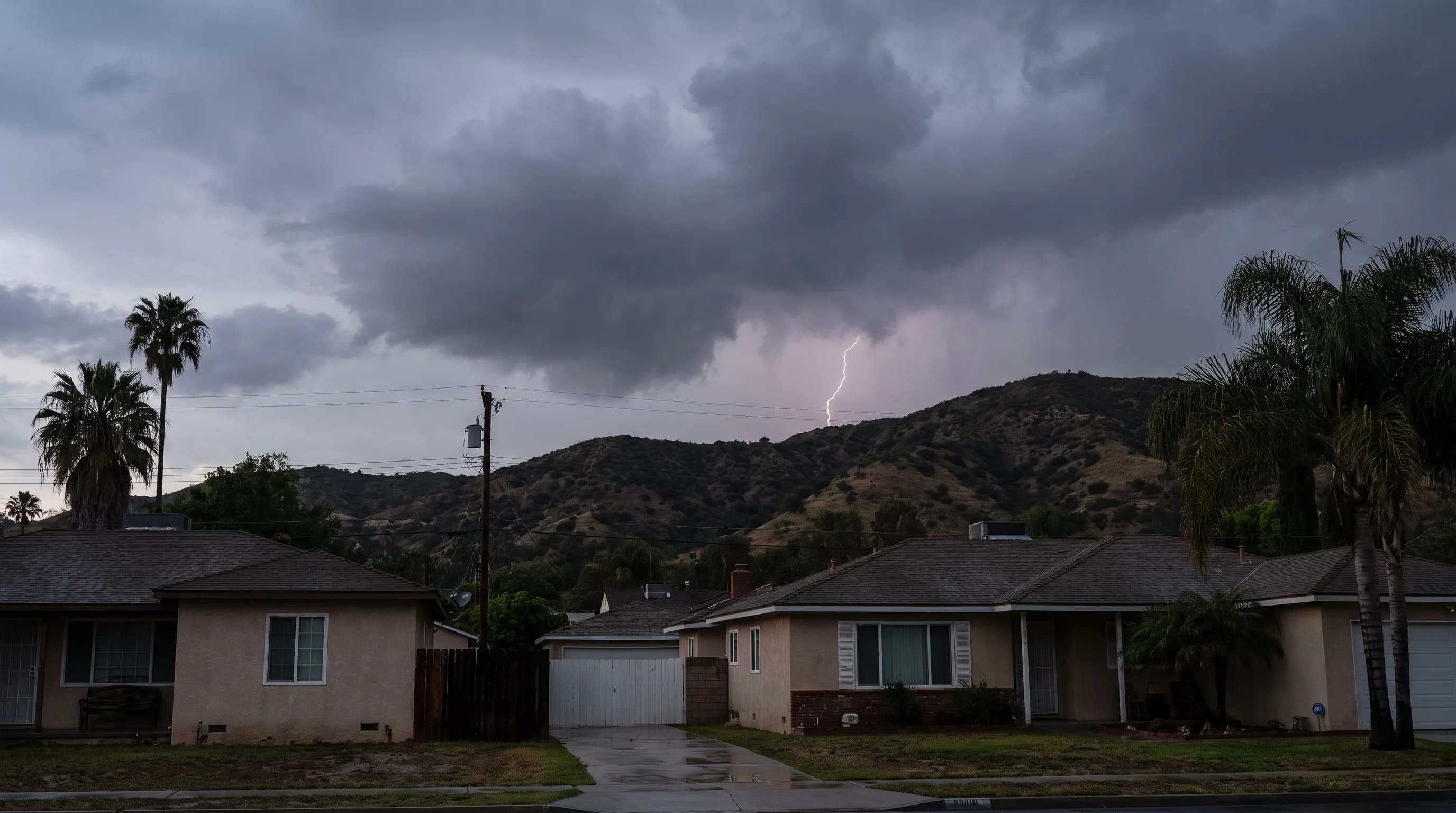
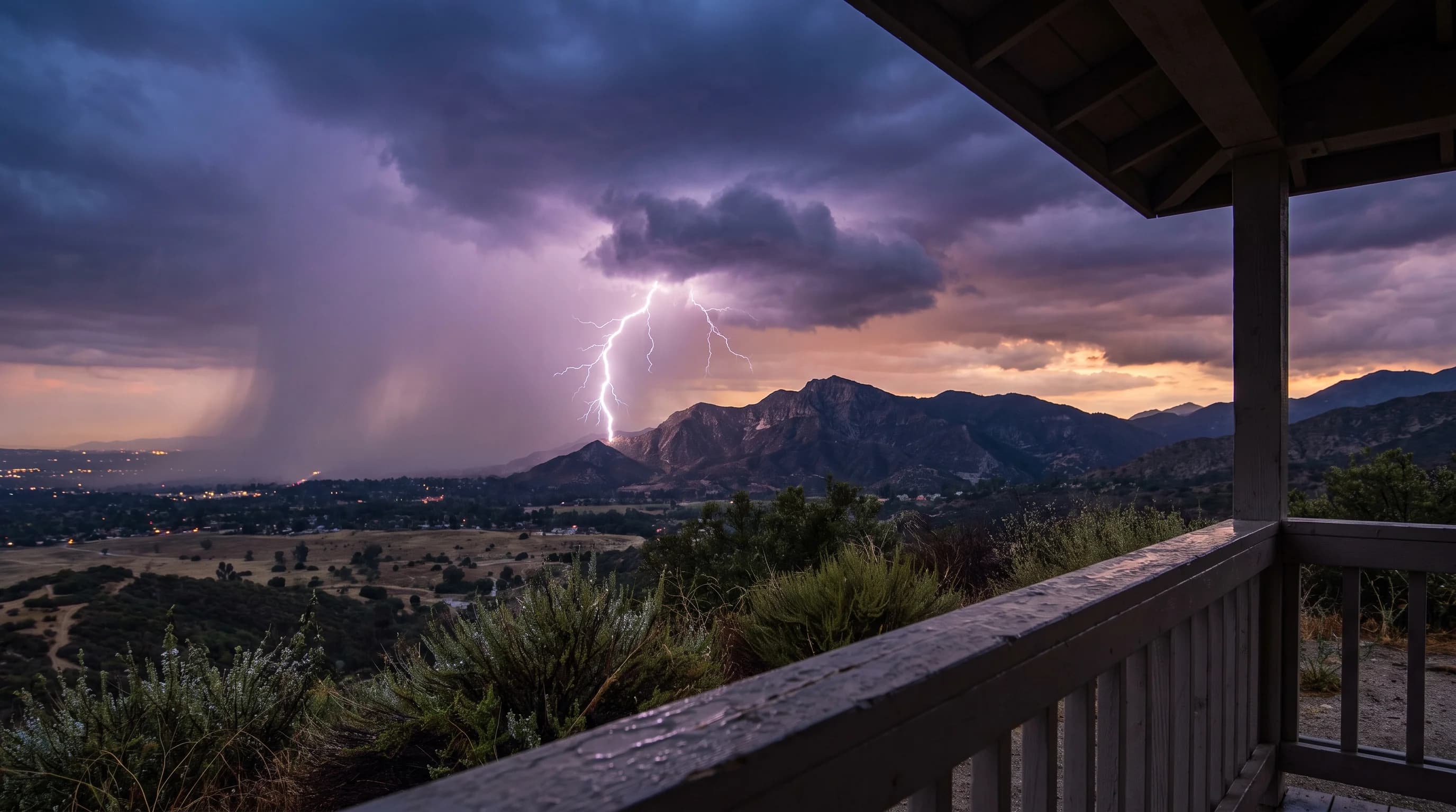
SoCal Lightning: Shelter the Moment Thunder Hits

SoCal Lightning: Shelter the Moment Thunder Hits

Lightning threatens Southern California beaches, mountains, and deserts even outside the heaviest rain, so the safest response is to shelter the moment thunder is heard.

6 min read →
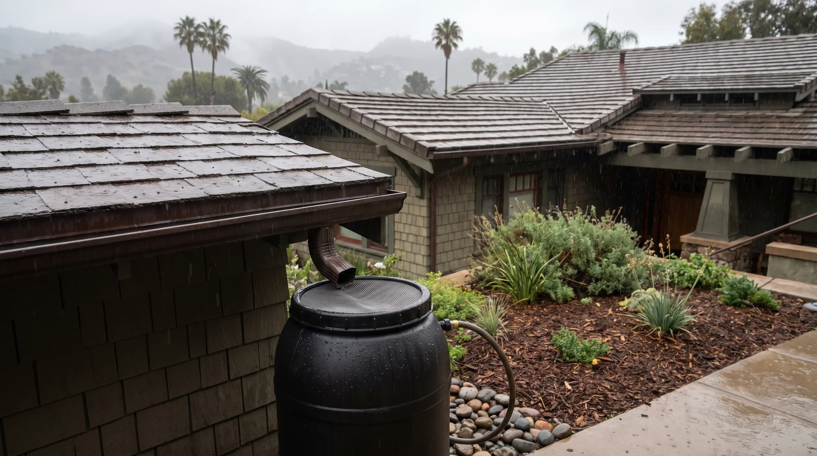
Is It Illegal to Collect Rainwater in California?

Is It Illegal to Collect Rainwater in California?

Collecting rainwater from your own roof is legal in California, though larger systems, potable-use plans, and local building codes can still bring in permit requirements.

6 min read →
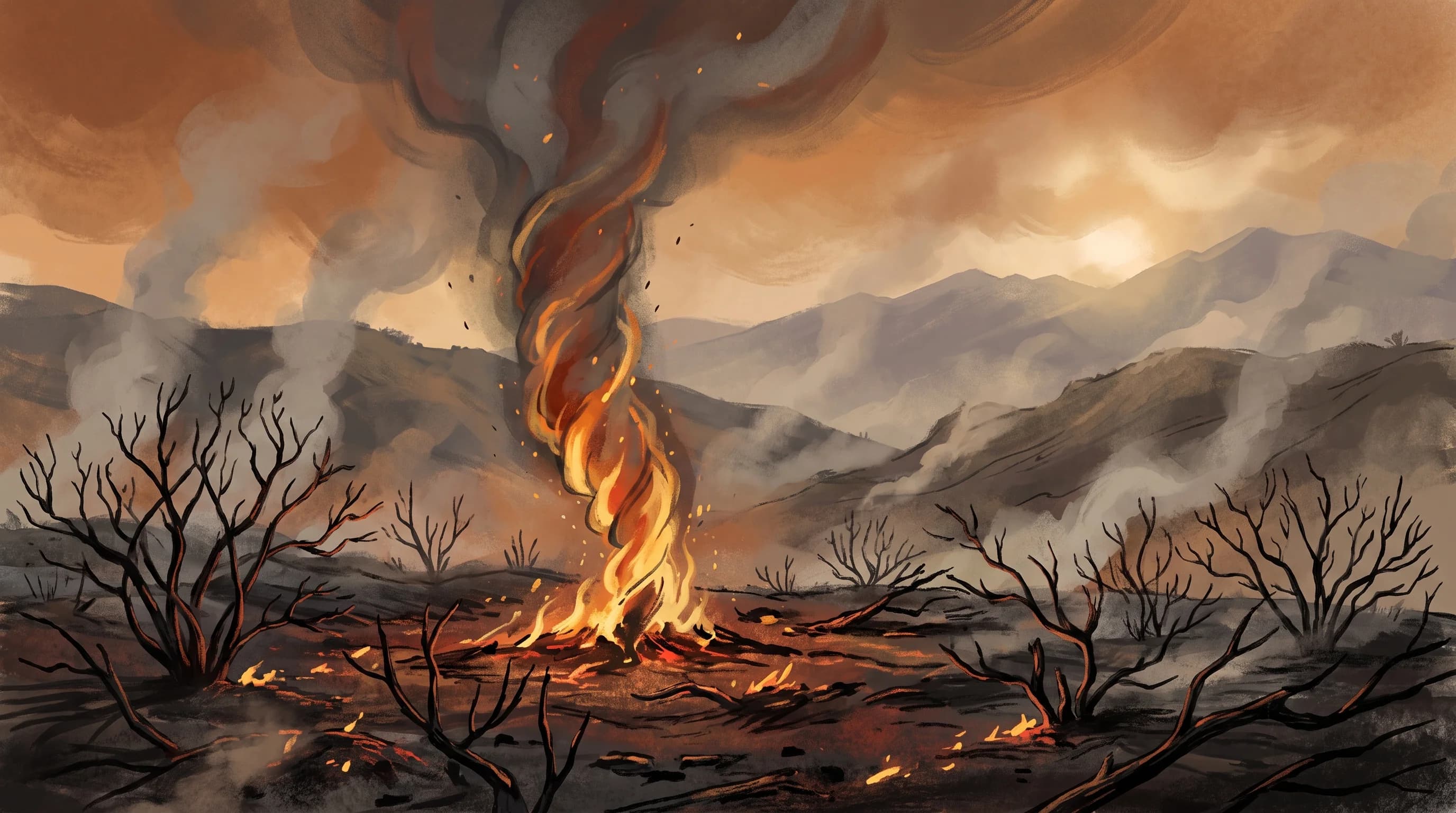
Category

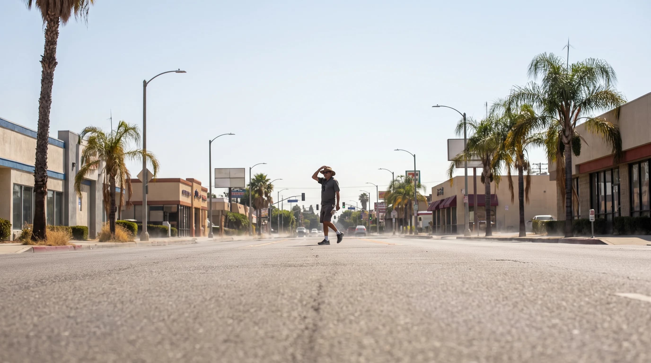
Snow, Heat, and Extremes

From rare lowland snow and mountain snowpack to Death Valley heat, tornadoes, and the wind shear that challenges LA-area airports.

Snow in LA? Rare Downtown, Routine Uphill

Snow in LA? Rare Downtown, Routine Uphill

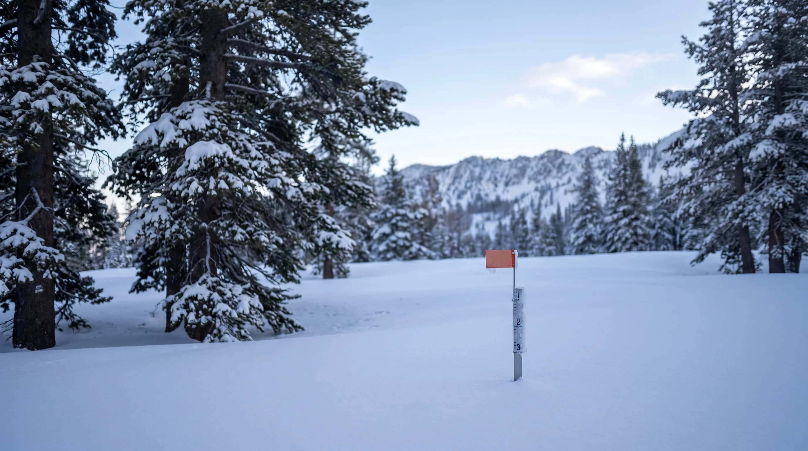
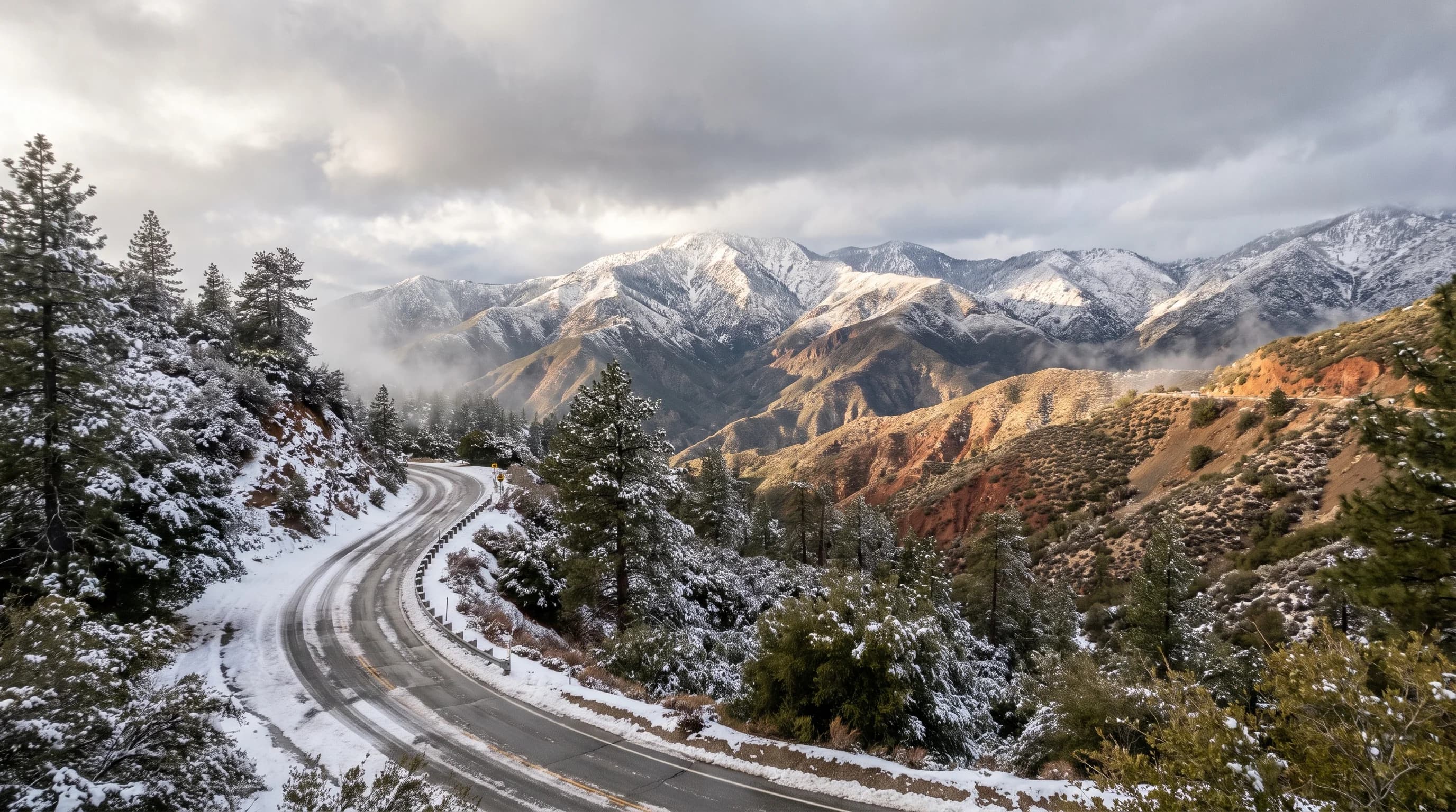
Downtown Los Angeles sees essentially no measurable snow, but the San Gabriel Mountains an hour away regularly get buried by the same winter storms. Elevation and freezing level explain the split.

8 min read →
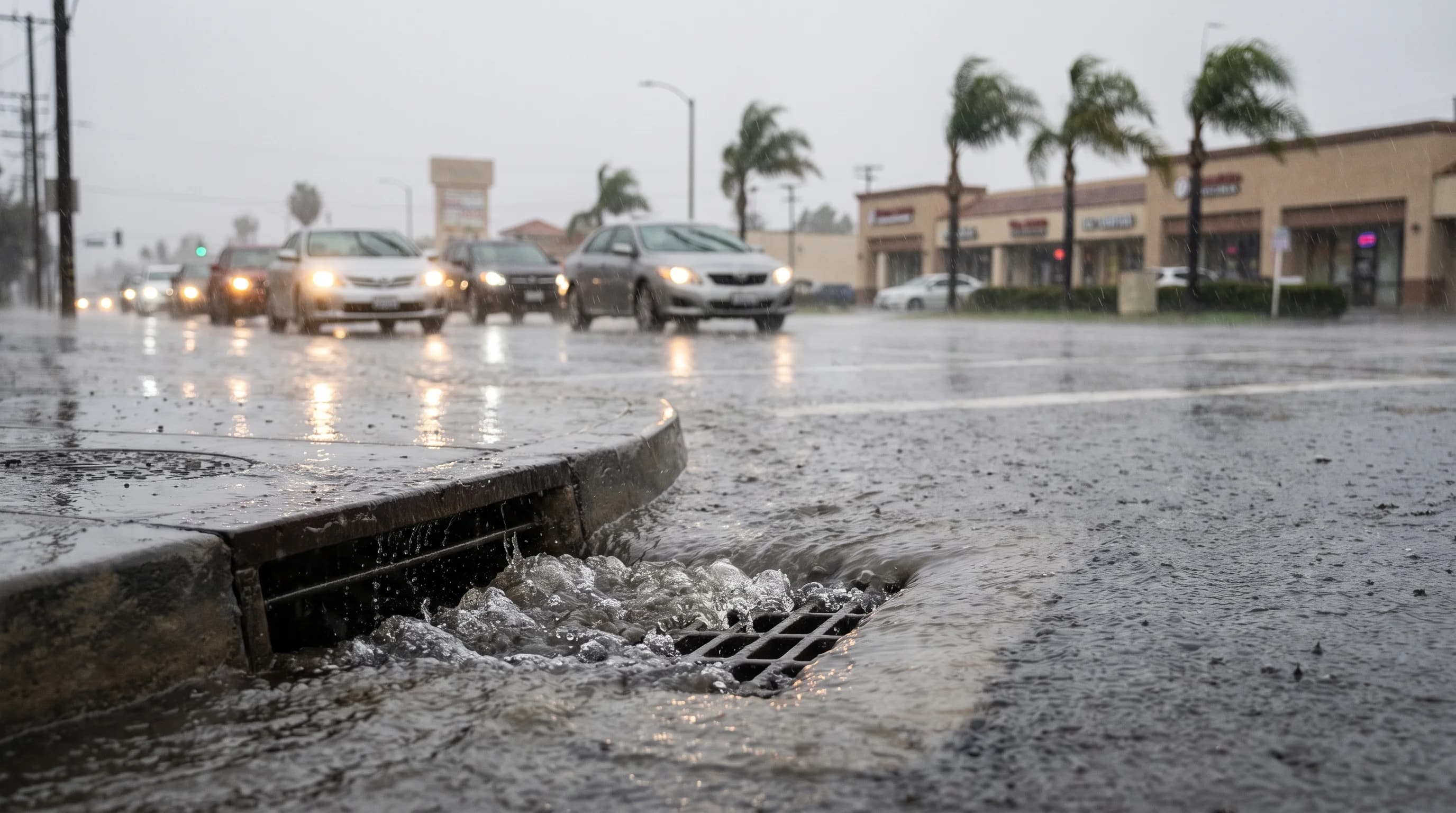
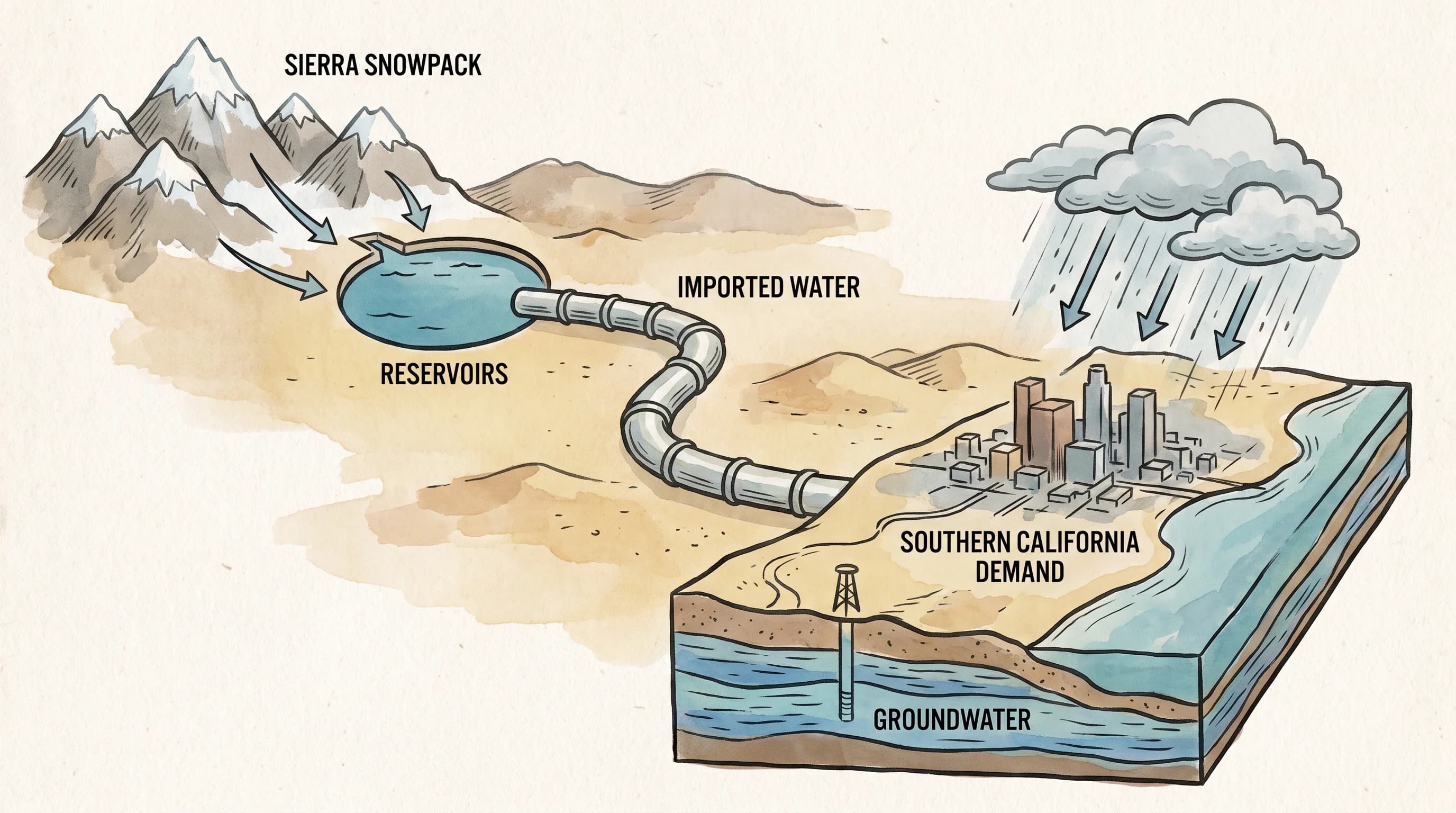
California's Snowpack: A Frozen Water Reservoir

California's Snowpack: A Frozen Water Reservoir

The Sierra Nevada snowpack works like a frozen reservoir, holding winter precipitation as snow and releasing it as spring and summer meltwater that reaches Southern California through the State Water Project and a wider supply network.

12 min read →
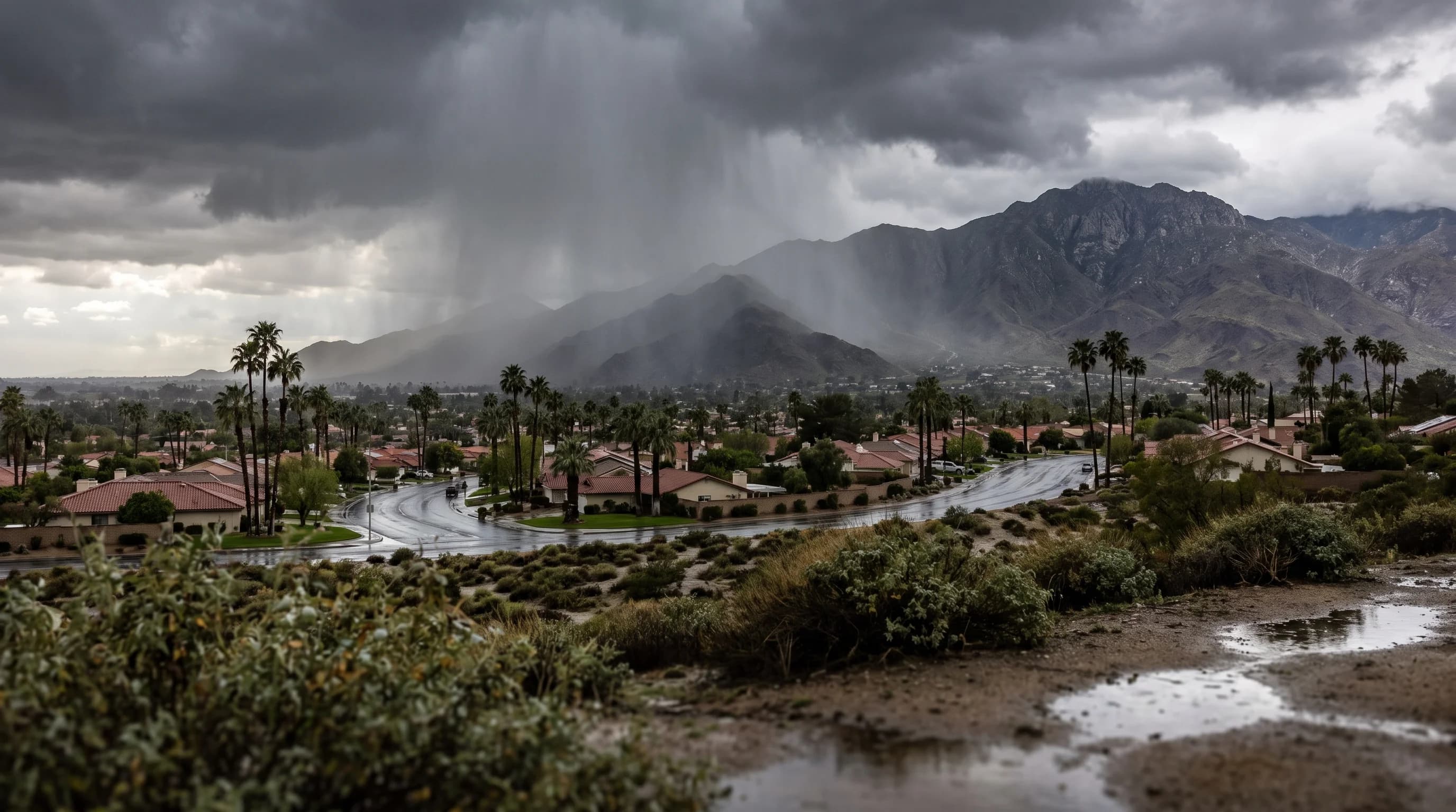
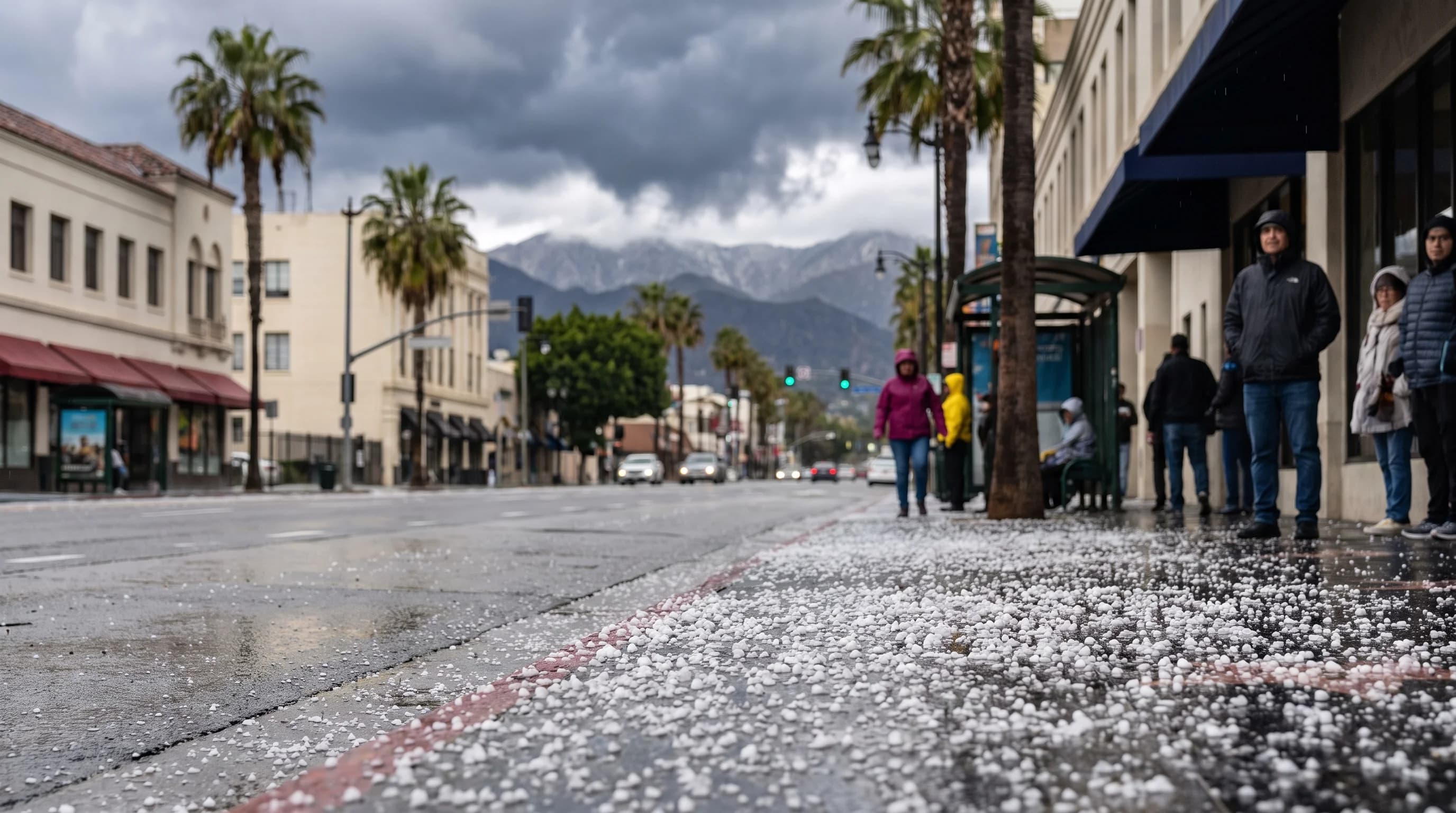
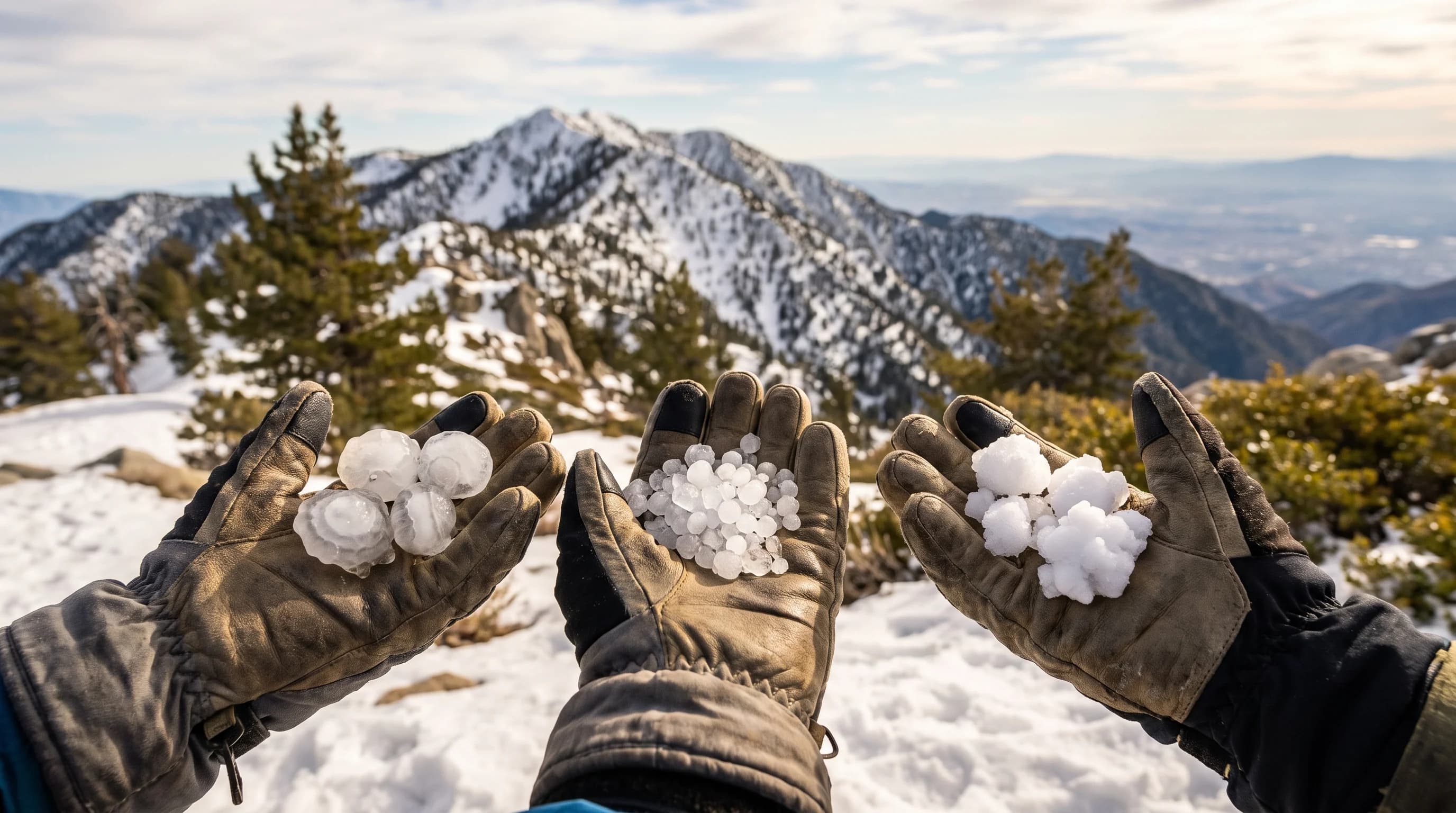
Sleet, Hail, or Graupel: What Falls on SoCal Peaks

Sleet, Hail, or Graupel: What Falls on SoCal Peaks

Sleet, hail, and graupel are three different kinds of ice with three different flight paths through a storm cloud. Southern California mountain weather mostly delivers graupel, occasionally hail, and only rarely true sleet.

10 min read →
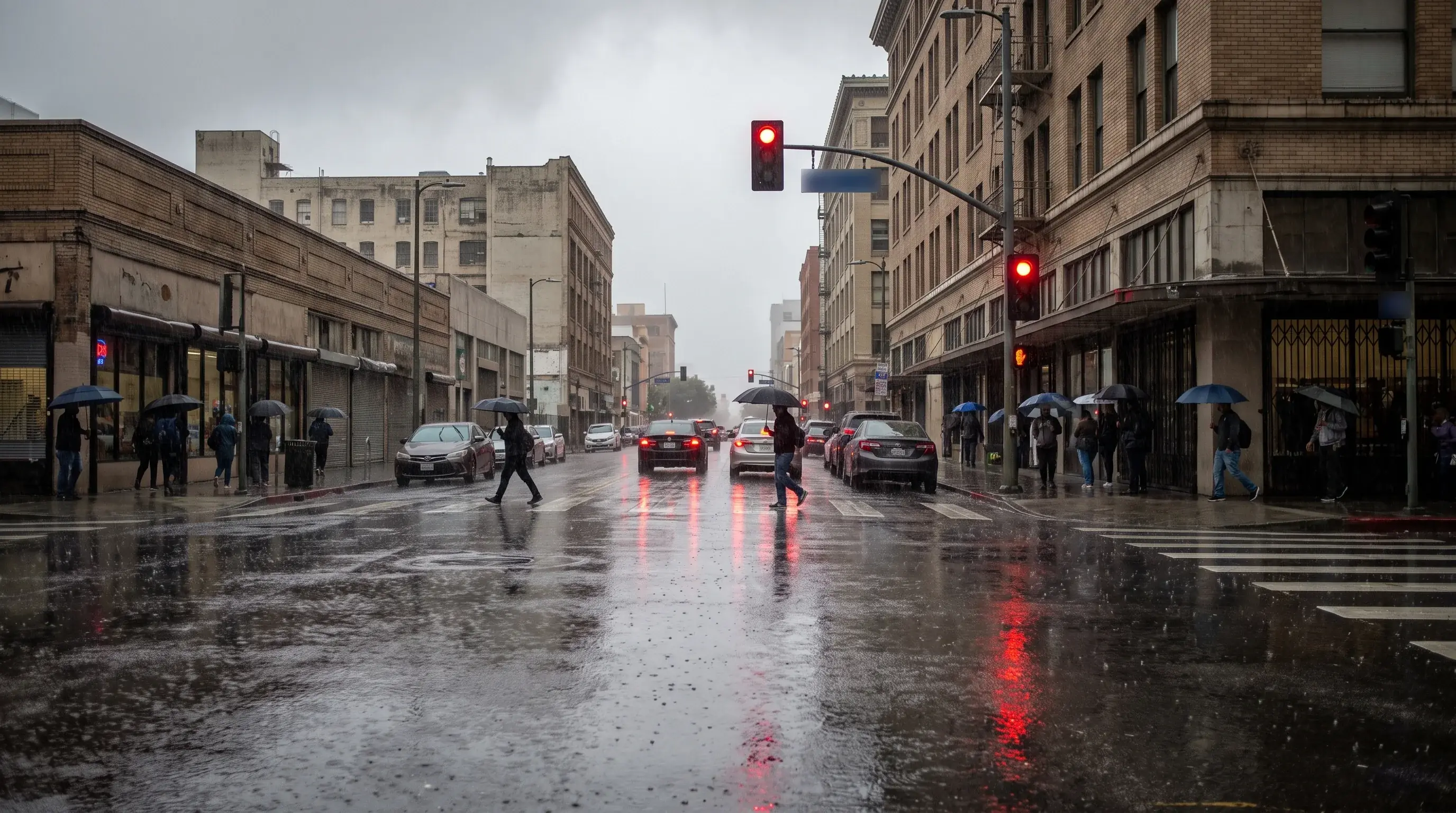
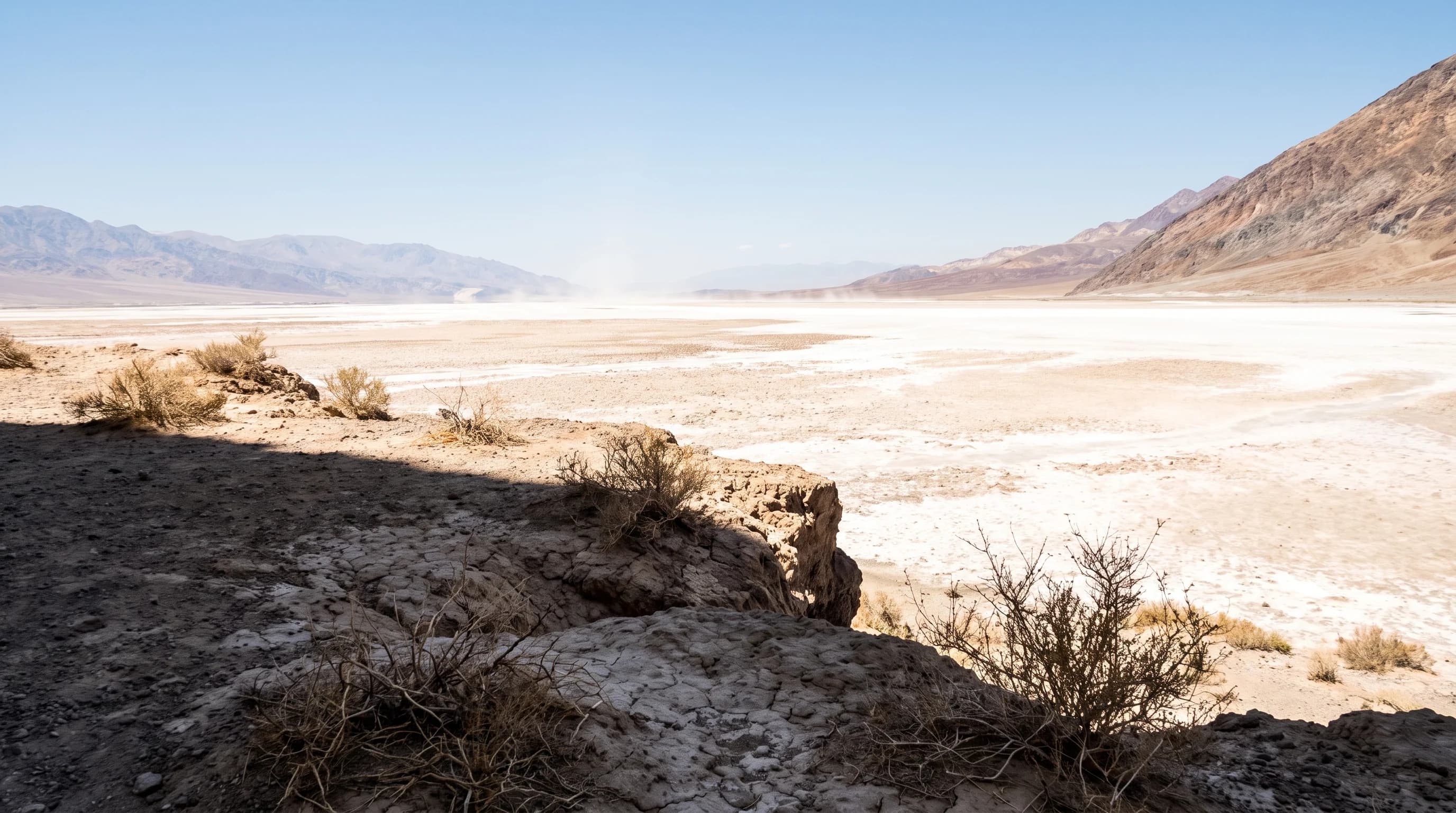
How Hot Is Death Valley? Inside Earth's Hottest Spot

How Hot Is Death Valley? Inside Earth's Hottest Spot

Death Valley routinely tops 120°F in summer because of a rare combination of below-sea-level elevation, surrounding mountains, and bone-dry air. That same combination produced the hottest air temperature ever reliably recorded on Earth.

10 min read →
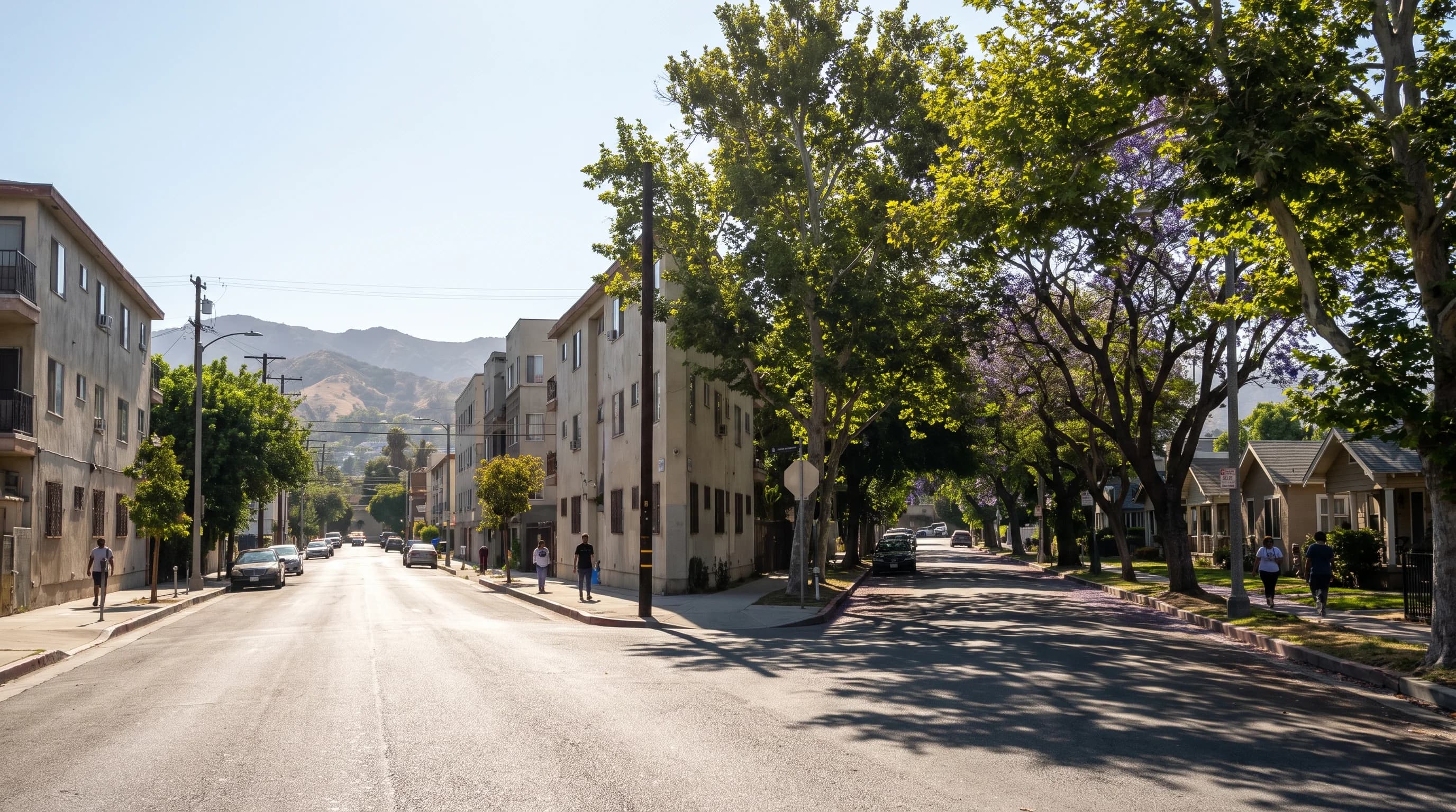
Urban Heat Islands: Why Some LA Blocks Stay Hotter

Urban Heat Islands: Why Some LA Blocks Stay Hotter

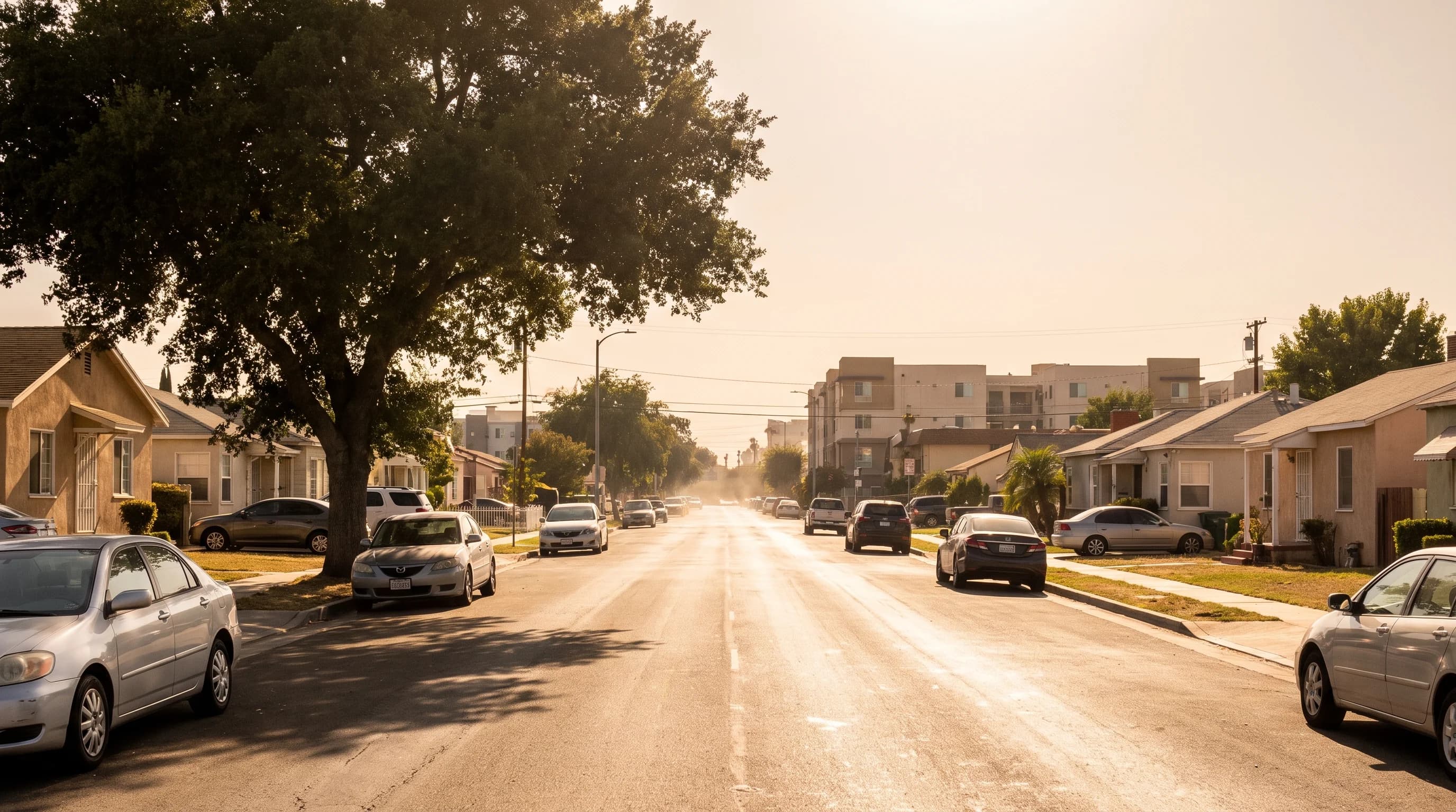
Some Los Angeles neighborhoods stay noticeably warmer after sunset than nearby areas because pavement and buildings store daytime heat and release it slowly overnight.

12 min read →
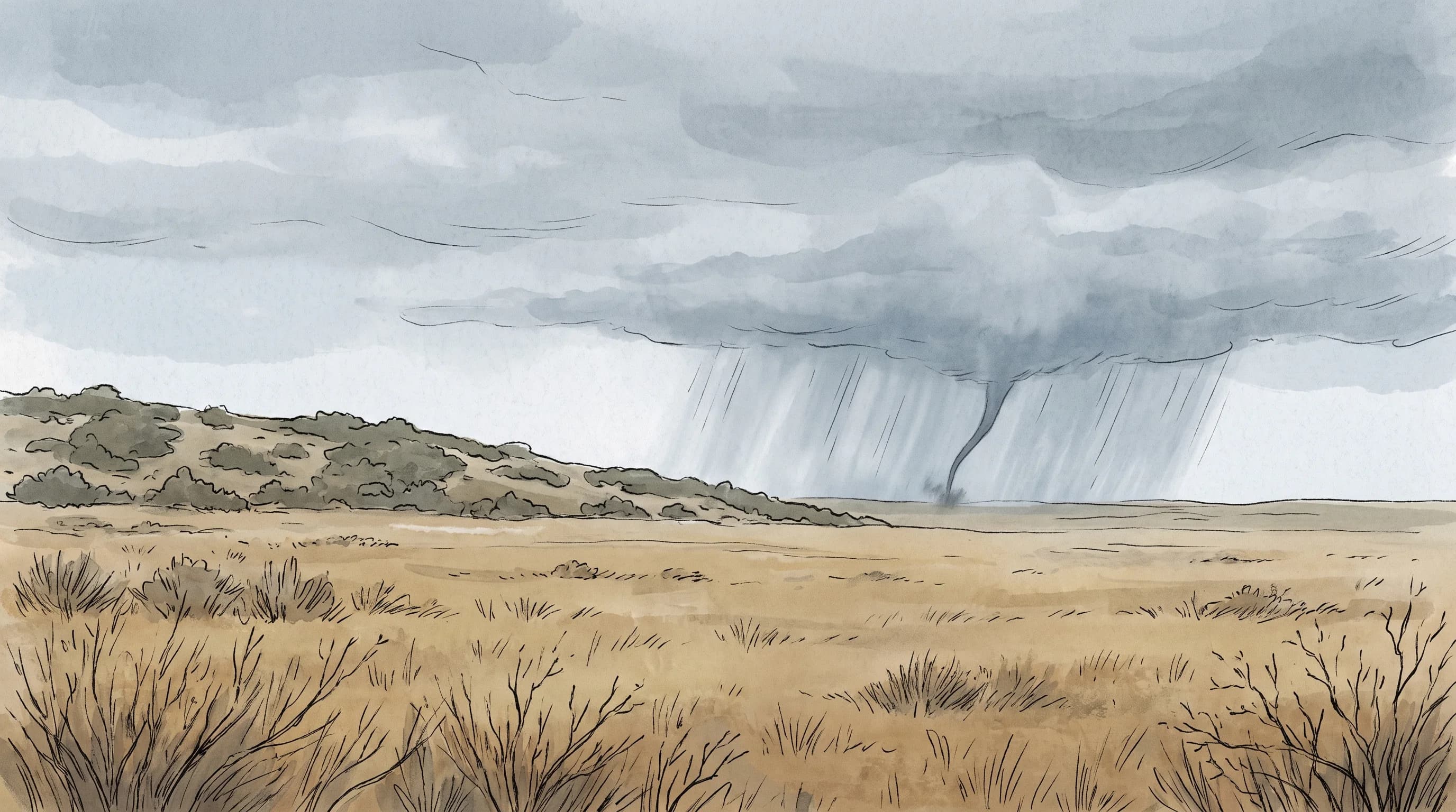
Can Tornadoes Hit Southern California? The Record

Can Tornadoes Hit Southern California? The Record

Tornadoes do hit Southern California, though they are far less frequent and usually far briefer than the classic Plains tornado. The official record shows confirmed events across the LA Basin and coast.

8 min read →
Microbursts: 100-MPH Wind Bursts in SoCal Storms

Microbursts: 100-MPH Wind Bursts in SoCal Storms

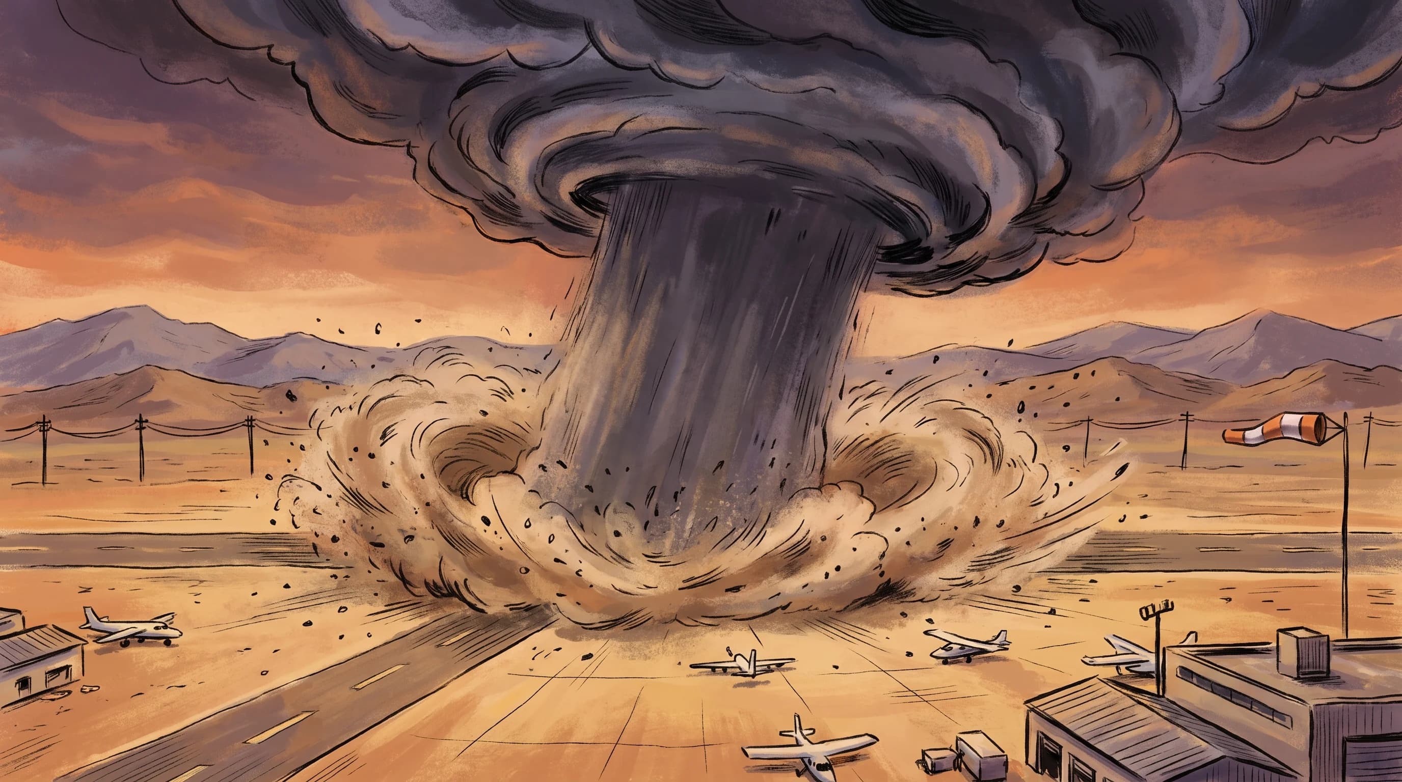
A microburst is a small, violent thunderstorm downdraft that fans out in straight-line wind rather than rotating like a tornado. Southern California sees them most in summer desert storms.

10 min read →
What Is Wind Shear? The Invisible Hazard Over LA's Airports

What Is Wind Shear? The Invisible Hazard Over LA's Airports

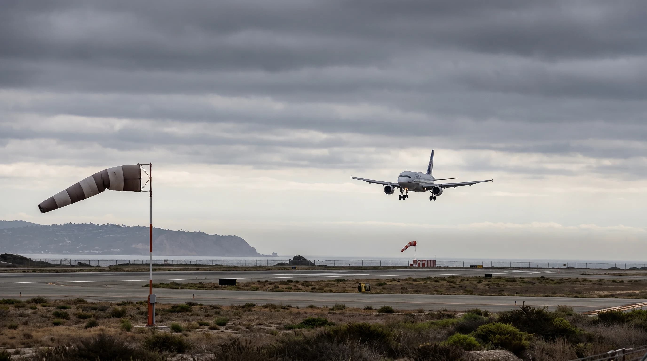
Wind shear is a sudden change in wind speed or direction that matters most during takeoff and landing. Sea-breeze fronts, mountain terrain, Santa Ana events, and thunderstorm outflow all produce it around Los Angeles airports.

11 min read →
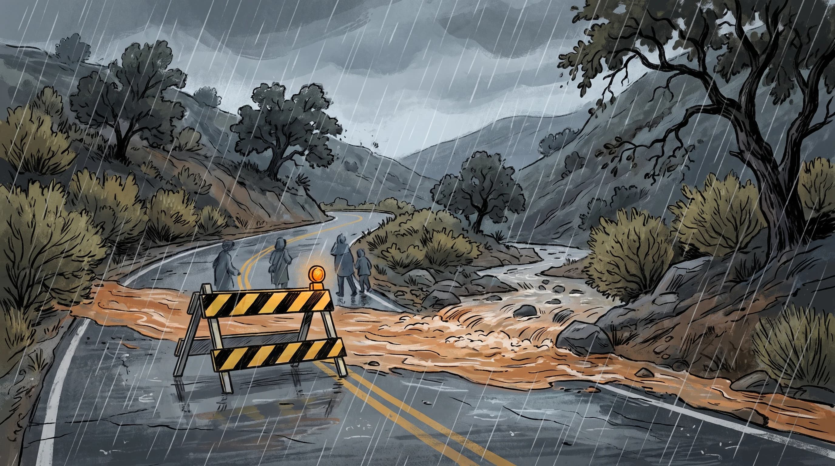
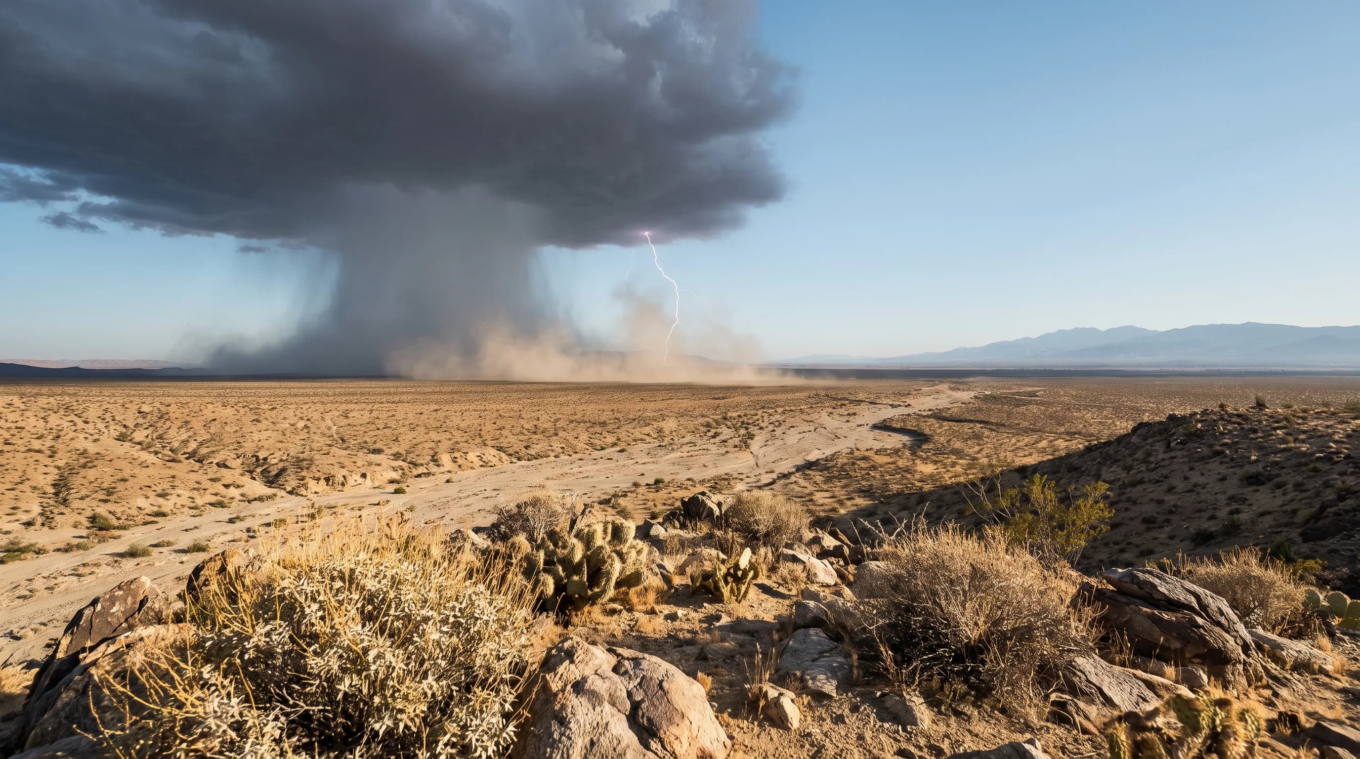
SoCal Dust Storms: Formation and Driving Safety

SoCal Dust Storms: Formation and Driving Safety

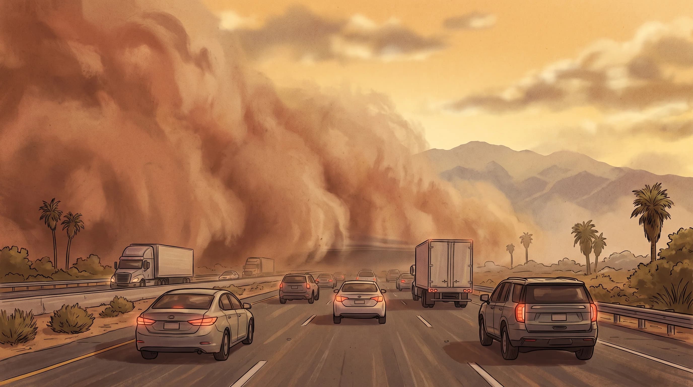
Strong wind lifts loose desert soil across the Coachella and Mojave deserts fast enough to turn a clear highway into a zero-visibility hazard in minutes. Here is how these storms form and what to check before you drive through one.

10 min read →
Category

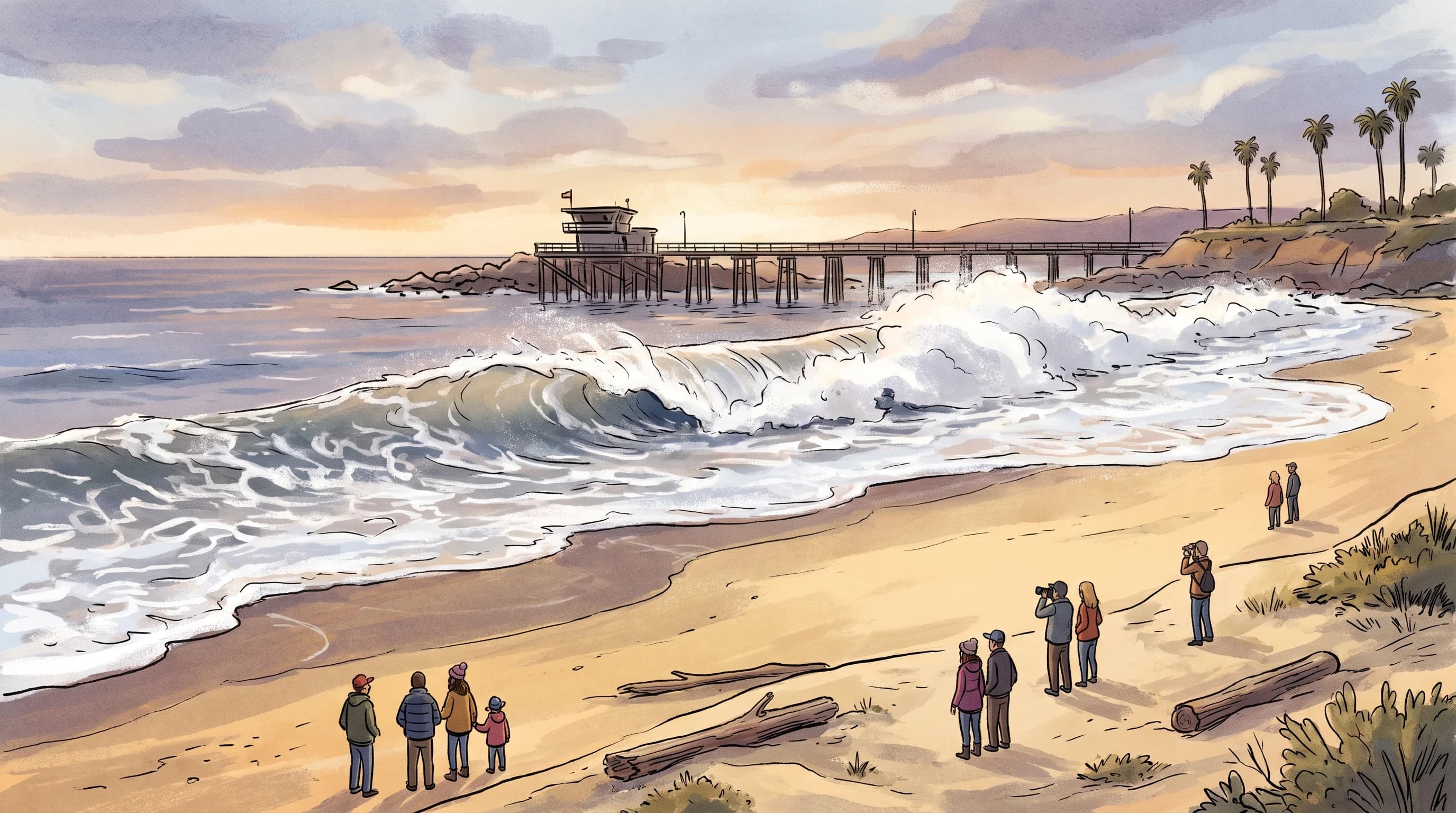
Coastal Hazards and Ocean Phenomena

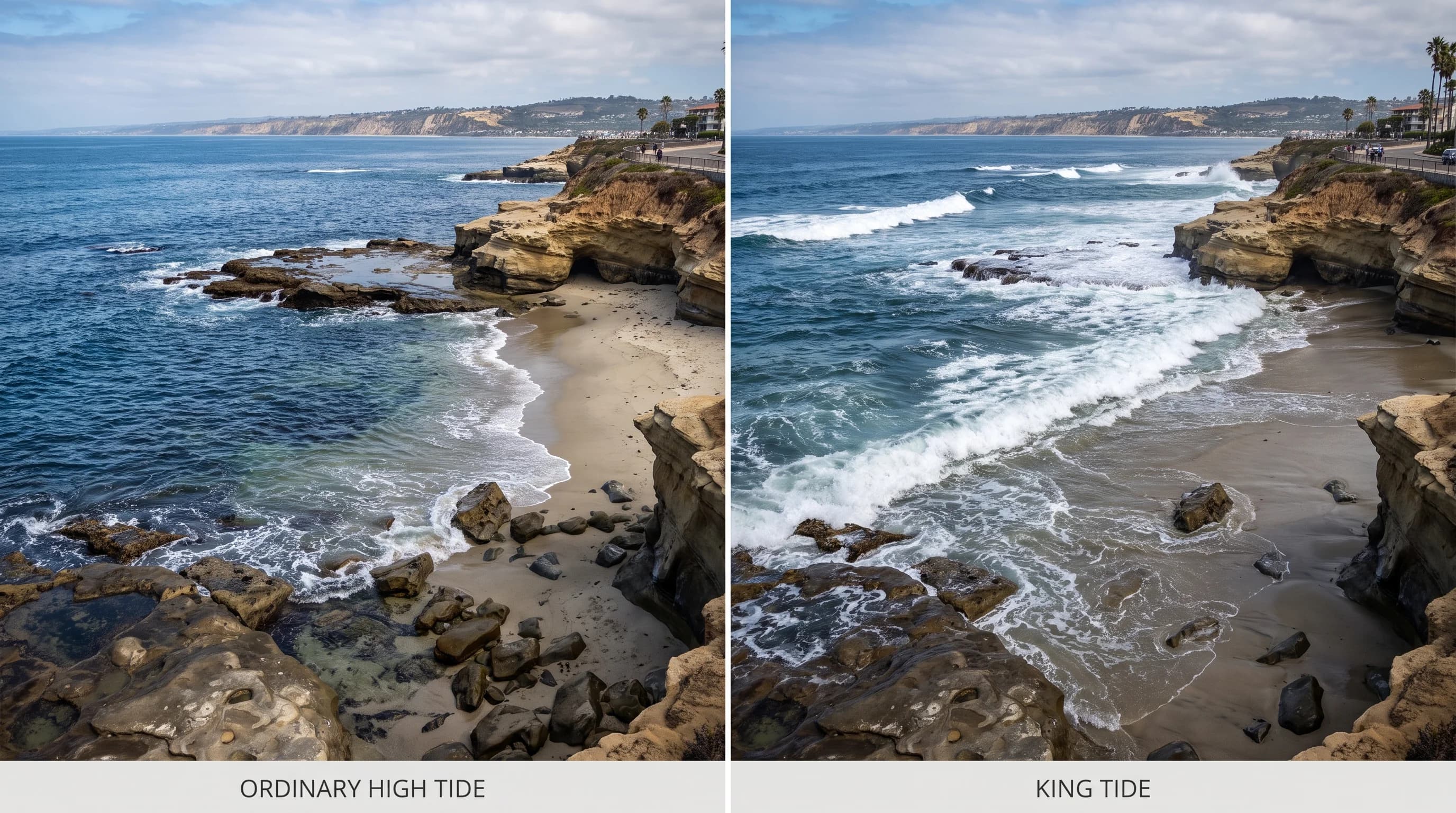
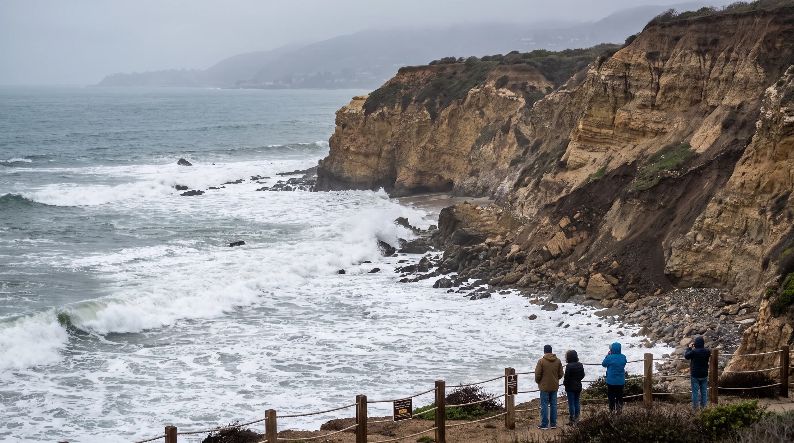
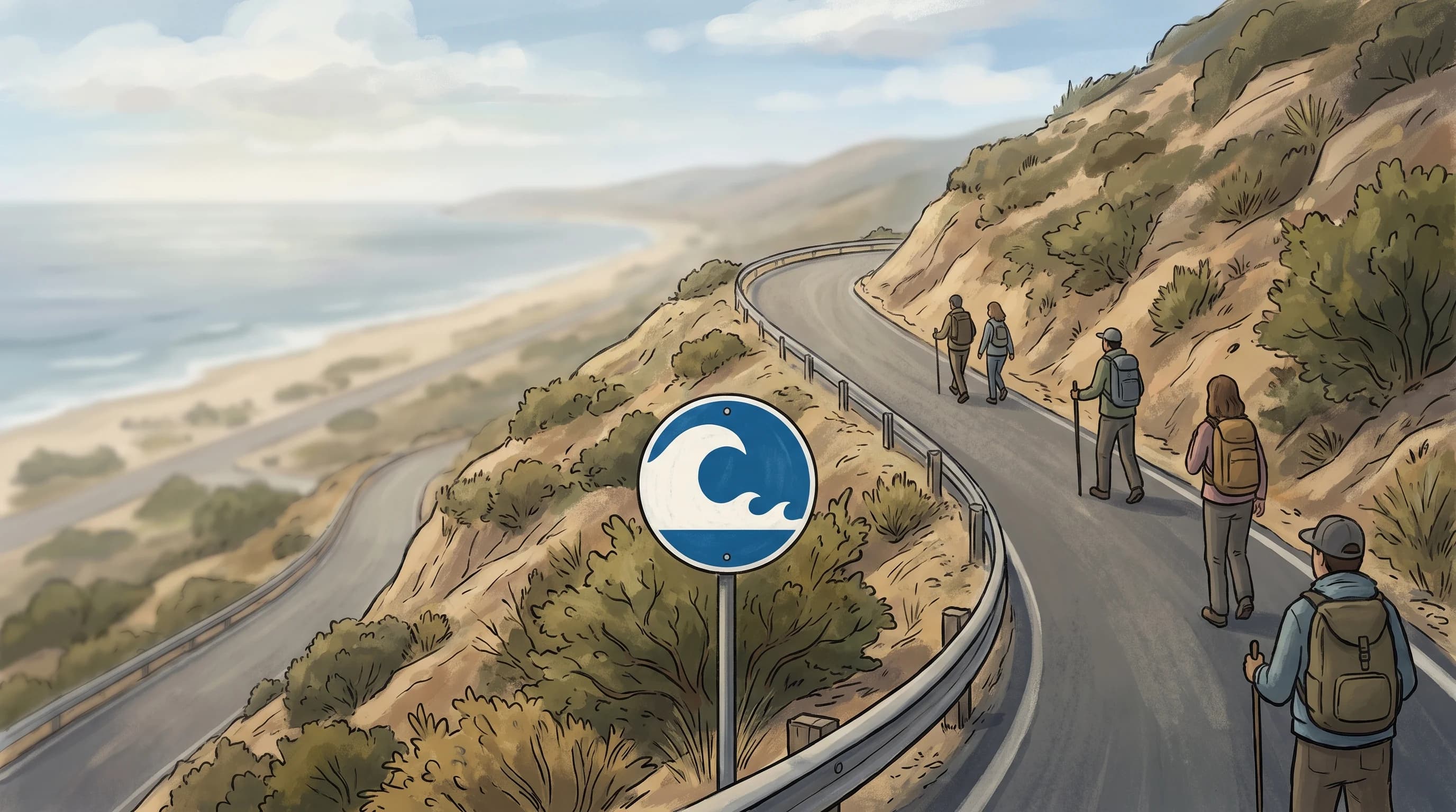
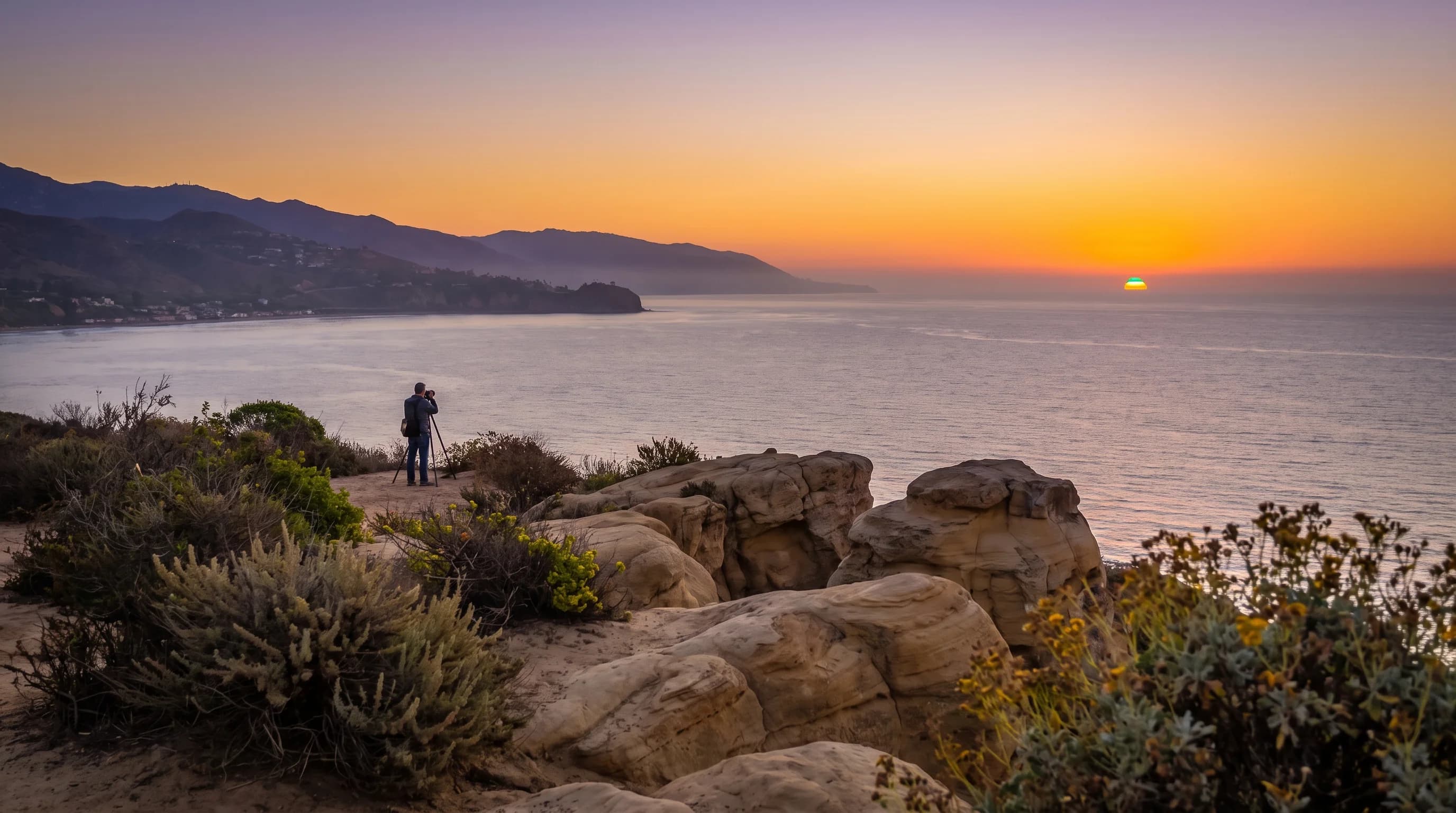
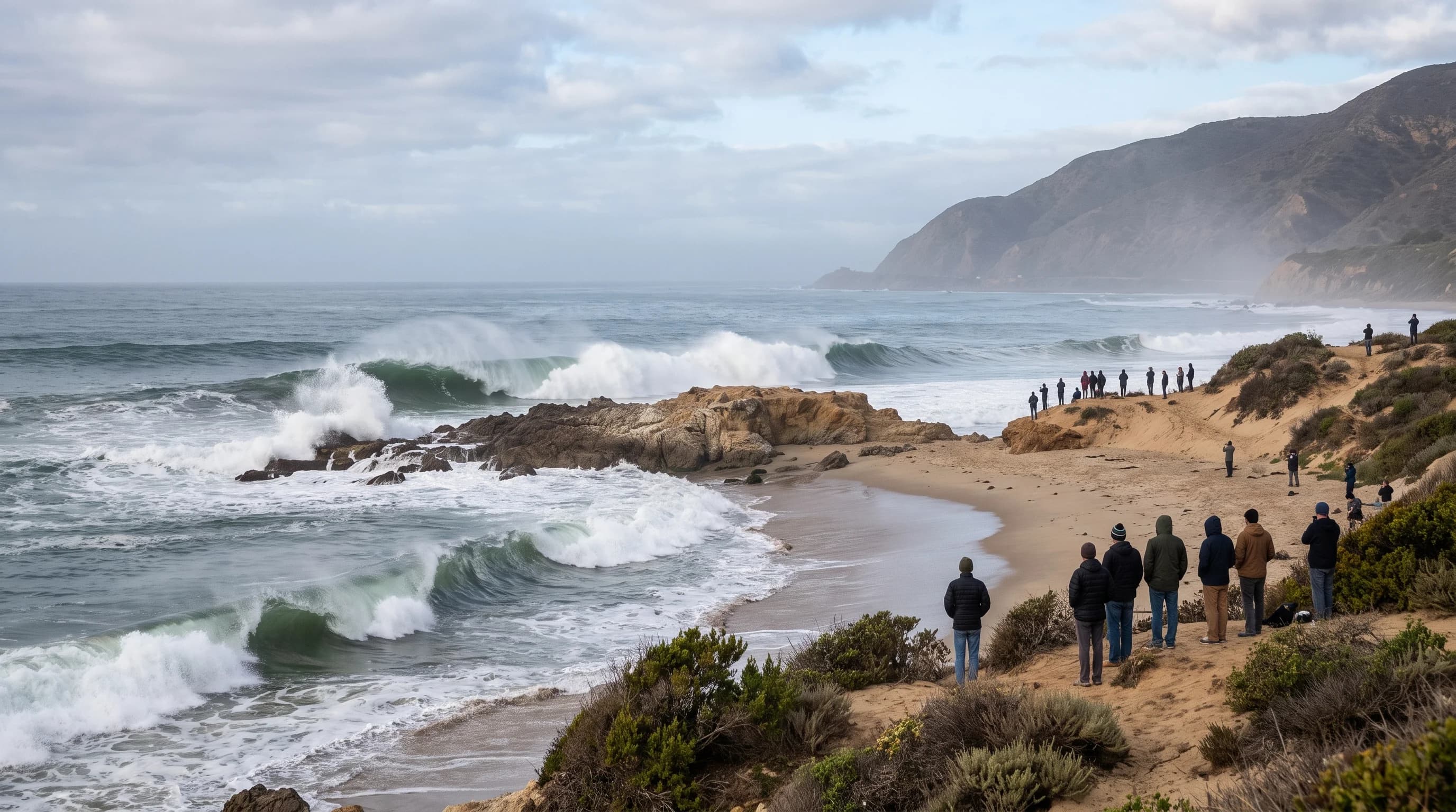
High surf, king tides, coastal erosion, tsunami risk, and the rare green flash that appears over the Southern California coast at sunset.

Recently Added

New Los Angeles Guides

Newly published articles that are waiting for a permanent topic group.

Why LA Beaches Stay Cold on 90-Degree Days

Why LA Beaches Stay Cold on 90-Degree Days

Southern California can hit 90°F on land while the ocean sits near 58°F just offshore. Coastal upwelling, driven by wind and the Coriolis effect, explains the gap and why it peaks in late spring and early summer.

8 min read →
Bomb Cyclone: The Label Is About Speed, Not Damage in LA

Bomb Cyclone: The Label Is About Speed, Not Damage in LA

A bomb cyclone describes how fast a storm intensified offshore, a pressure drop of at least 24 millibars in a day, not how much damage it will do once it reaches Southern California.

9 min read →

Catalina Eddy: The Swirl That Deepens LA's Gray

Catalina Eddy: The Swirl That Deepens LA's Gray

The Catalina Eddy is a shallow counterclockwise circulation in the Southern California Bight that can deepen and spread LA's marine layer well beyond its usual reach, producing grayer, cooler mornings than the everyday cycle.

9 min read →
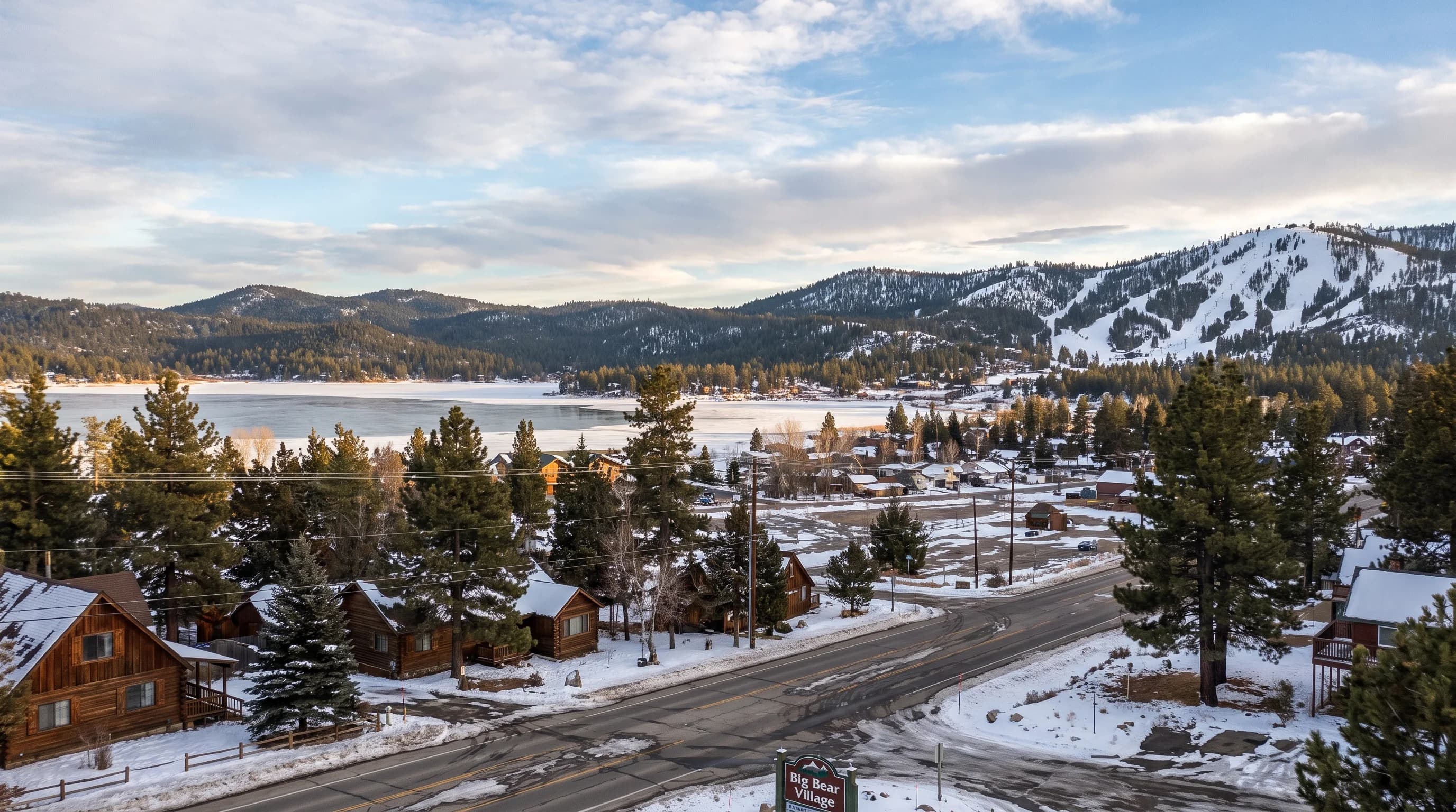
Big Bear Really Gets Snow, but Town and Slopes Differ

Big Bear Really Gets Snow, but Town and Slopes Differ

Unlike the LA lowlands or Palm Springs, Big Bear Lake genuinely gets snow most winters. But the town sits in a valley below the surrounding peaks, so storm totals, snowpack, and road conditions swing more between the lake and the ridgelines than most visitors expect.

8 min read →
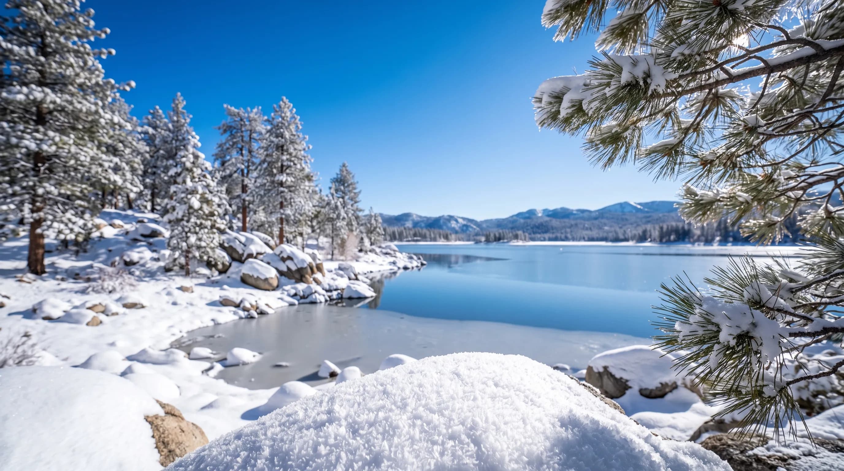
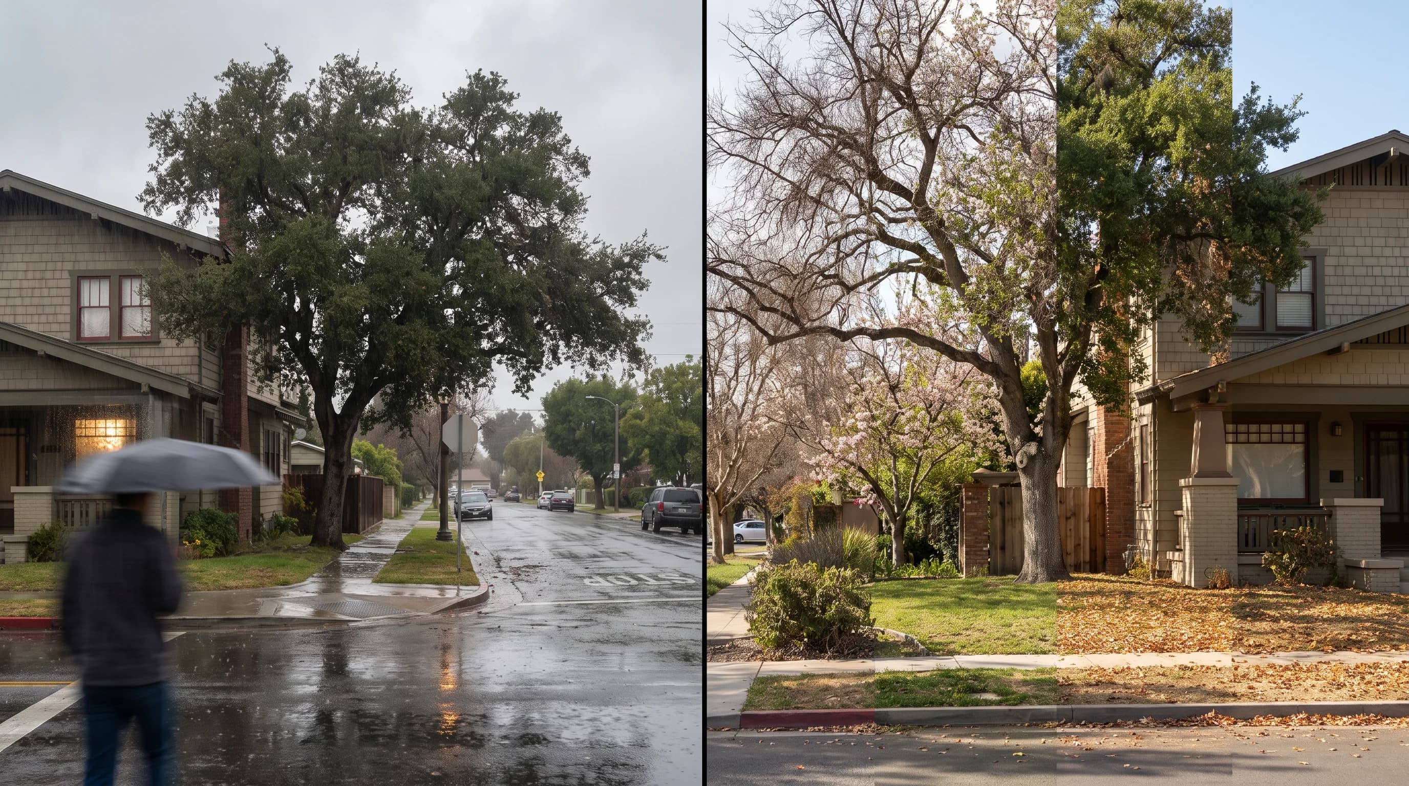
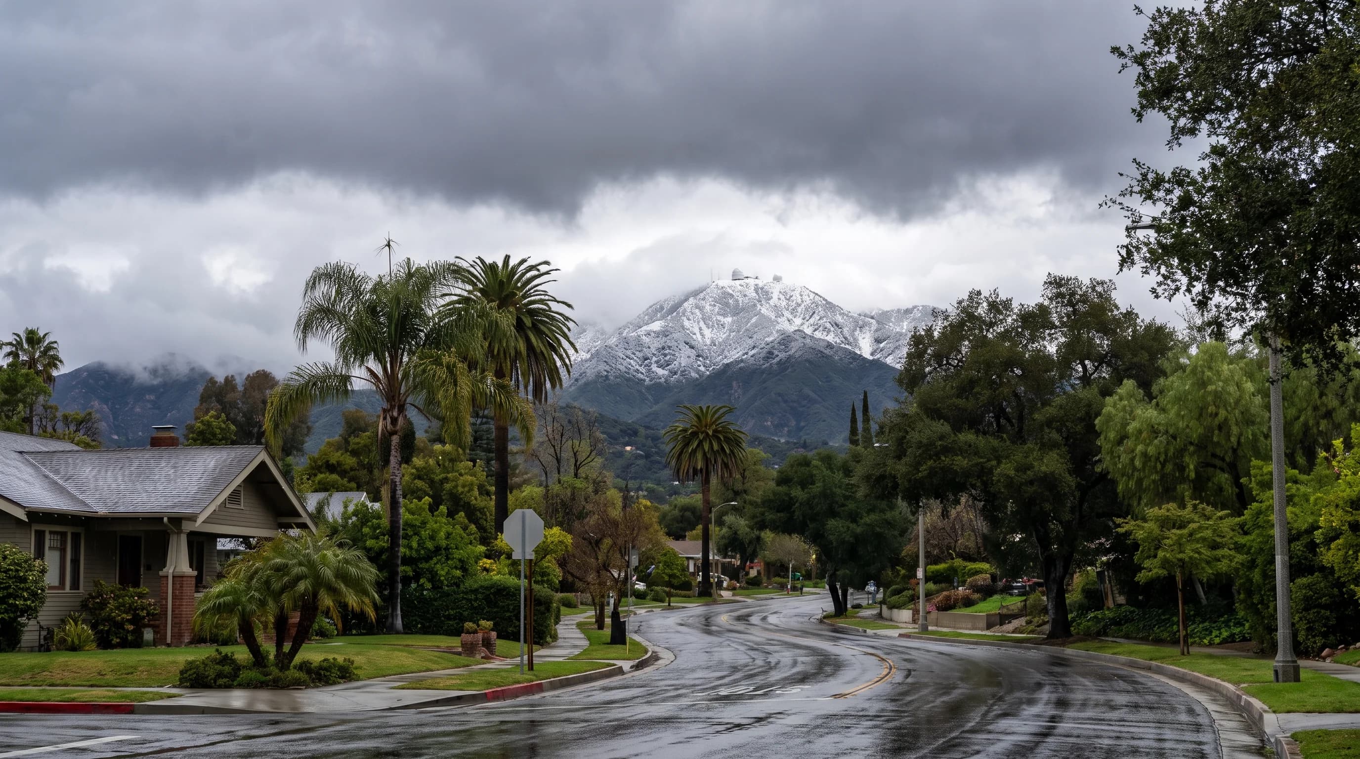
Pasadena Stays Green as Mount Wilson Turns White

Pasadena Stays Green as Mount Wilson Turns White

Pasadena and Mount Wilson can experience completely different winters during the exact same storm. The city stays wet and green at under 1,000 feet, while the peak looming over it, nearly 4,800 feet higher, is one of the most reliable snow views in the San Gabriels.

8 min read →
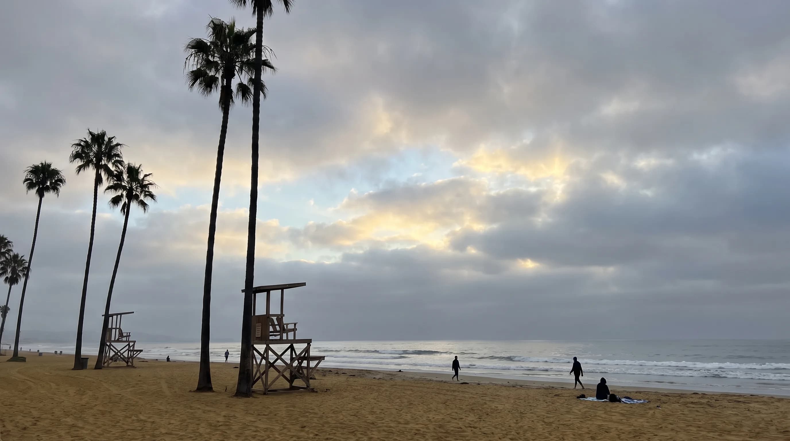
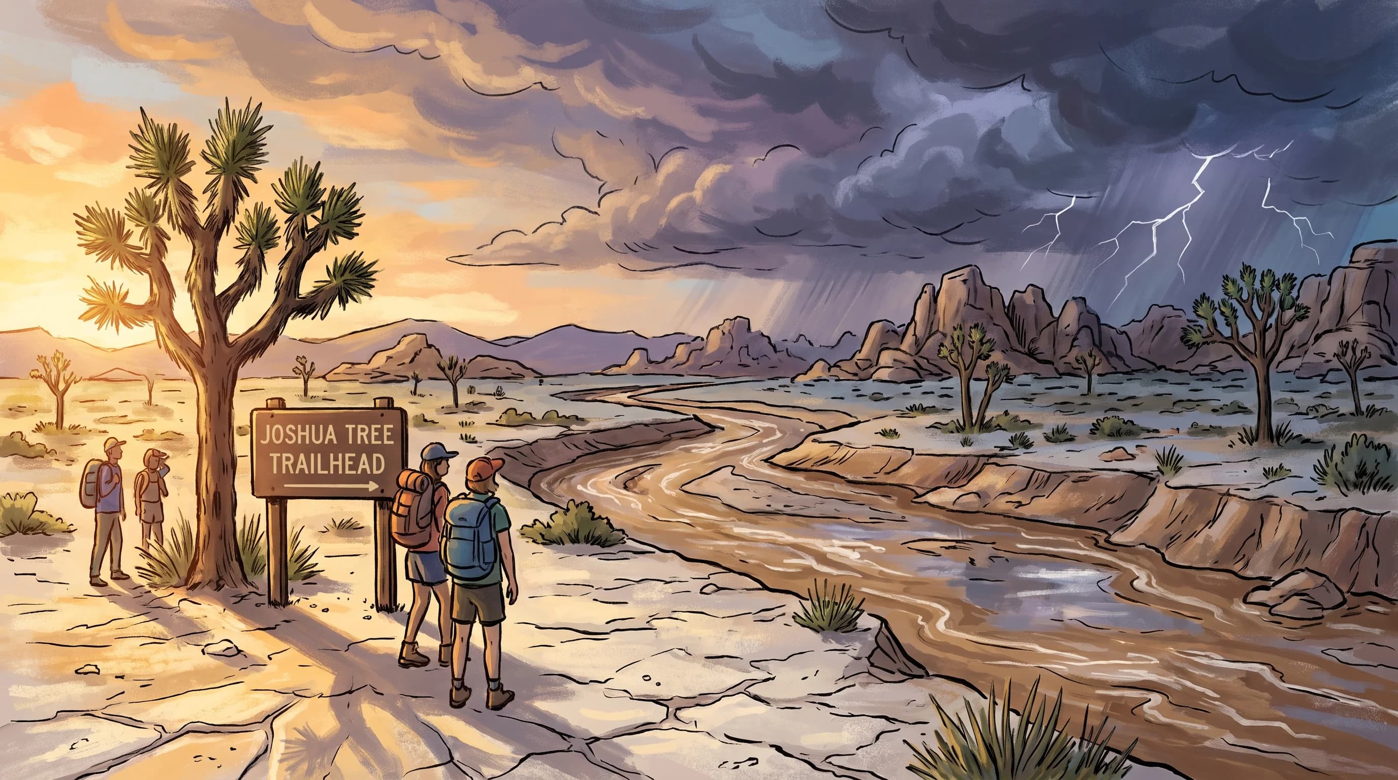
Why Joshua Tree Floods Fast: Hardpan, Slot Canyons

Why Joshua Tree Floods Fast: Hardpan, Slot Canyons

A thunderstorm over a ridge you cannot see can fill a Joshua Tree wash below your boots in minutes. Hardpan soil, bare rock, and remote canyons with no cell signal make this a different flash flood risk than any paved desert town nearby.

8 min read →
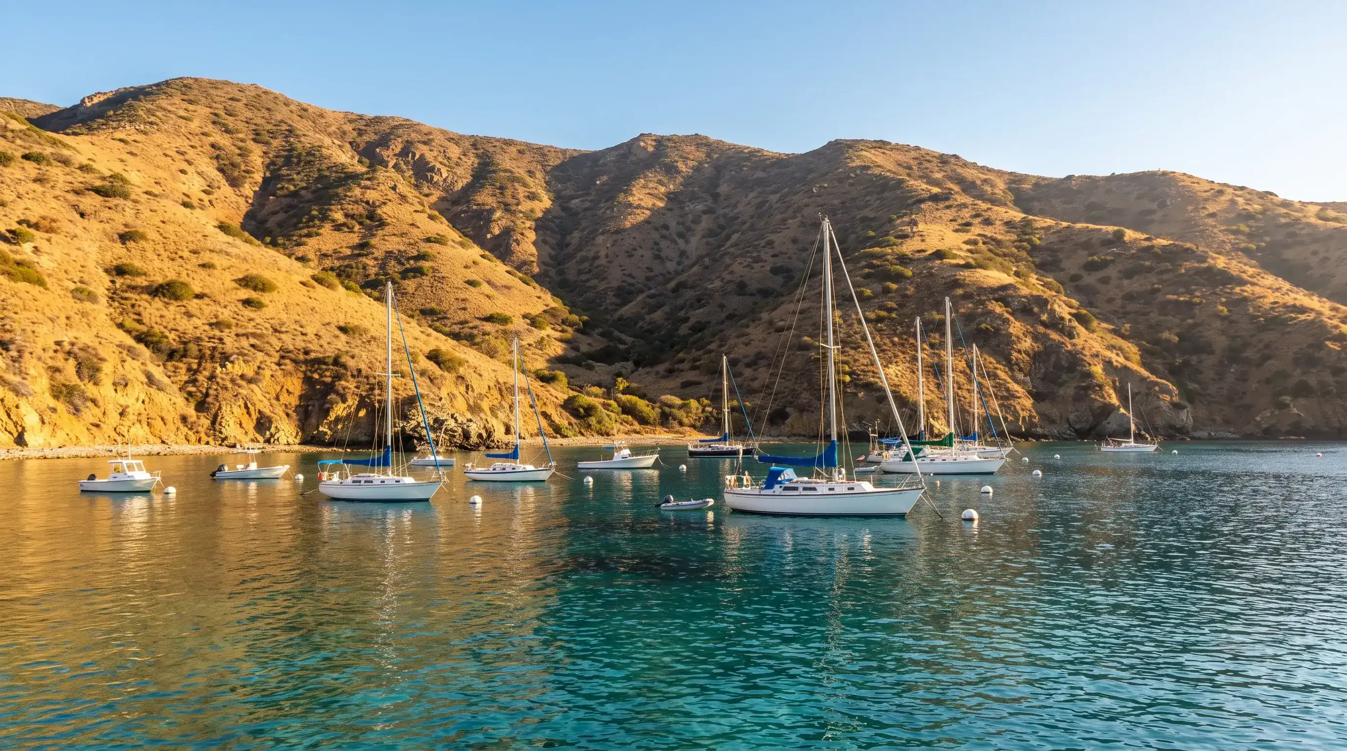
Why Pasadena Floods Fast: Mountain-Front Runoff

Why Pasadena Floods Fast: Mountain-Front Runoff

Pasadena floods differently than the rest of Los Angeles because it sits right where the steep San Gabriel Mountains meet the city grid. Here is how mountain-front watersheds, the Arroyo Seco, Eaton Canyon, and burn scars combine to create a fast-moving, sometimes debris-laden hazard.

9 min read →
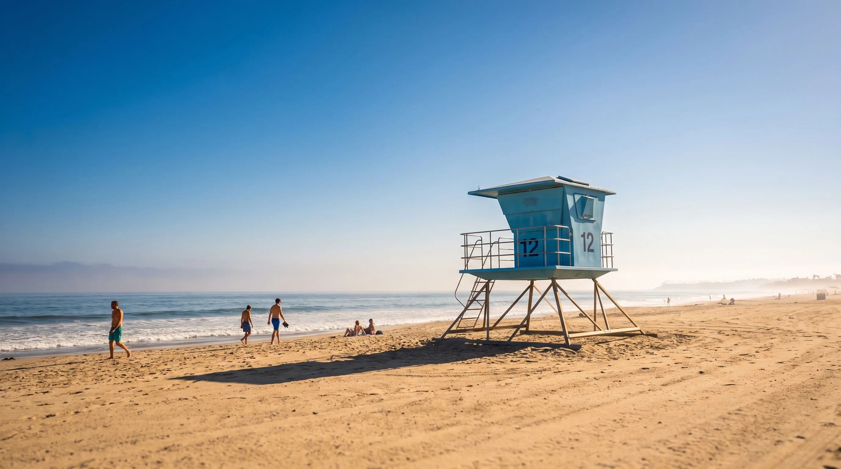
Why Santa Monica Floods Fast: Streets to the Surf

Why Santa Monica Floods Fast: Streets to the Surf

Santa Monica does not have steep canyons or a slow-draining flat basin. It has a dense, paved city grid that drains straight toward the ocean, plus canyon runoff from above and a tide that can slow the exit below. Here is how those pieces combine into fast, local flooding.

9 min read →
Why Ventura Floods Fast: Two Rivers Meet the Sea

Why Ventura Floods Fast: Two Rivers Meet the Sea

Ventura floods where two rivers, a large agricultural watershed, and the open coast all meet at once. Here is how mountain runoff, burn-scar debris, and high tide or surf at the river mouths combine into a fast-developing local hazard.

8 min read →
Malibu's Points and Coves Turn One Swell Into Two Risks

Malibu's Points and Coves Turn One Swell Into Two Risks

Malibu's south-facing points, coves, and cliffs bend and focus incoming swell instead of spreading it out evenly, so the same offshore storm can leave one beach calm and another genuinely dangerous a mile away.

10 min read →
Where Does It Snow in Southern California?

Where Does It Snow in Southern California?

The coast and the LA Basin get rain from the same storms that bury the San Bernardino, San Gabriel, and San Jacinto Mountains in snow. The dividing line sits around 5,000 to 6,500 feet, and it shifts with every storm.

9 min read →
LA Wind Advisory vs. High Wind Warning

LA Wind Advisory vs. High Wind Warning

A Wind Advisory means gusts of 45 to 57 mph; a High Wind Warning starts at 58. Here is how to read LA's wind alerts, and why a canyon or pass can be far windier than the forecast headline suggests.

10 min read →
AQI Explained: The Worst-Pollutant Rule

AQI Explained: The Worst-Pollutant Rule

The Air Quality Index looks like one number, but it is actually five separate pollutant scores with only the worst one reported. Understanding that rule explains almost every confusing AQI reading in Southern California.

10 min read →
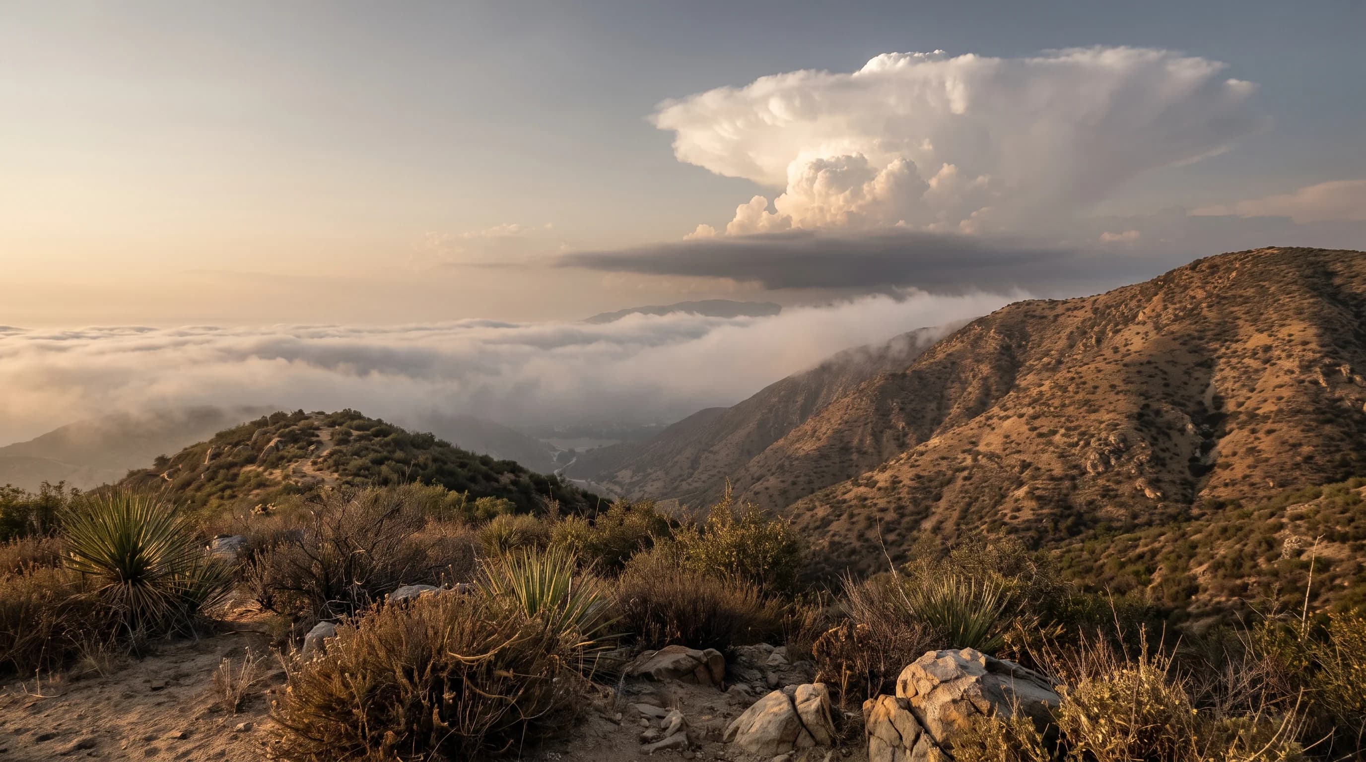
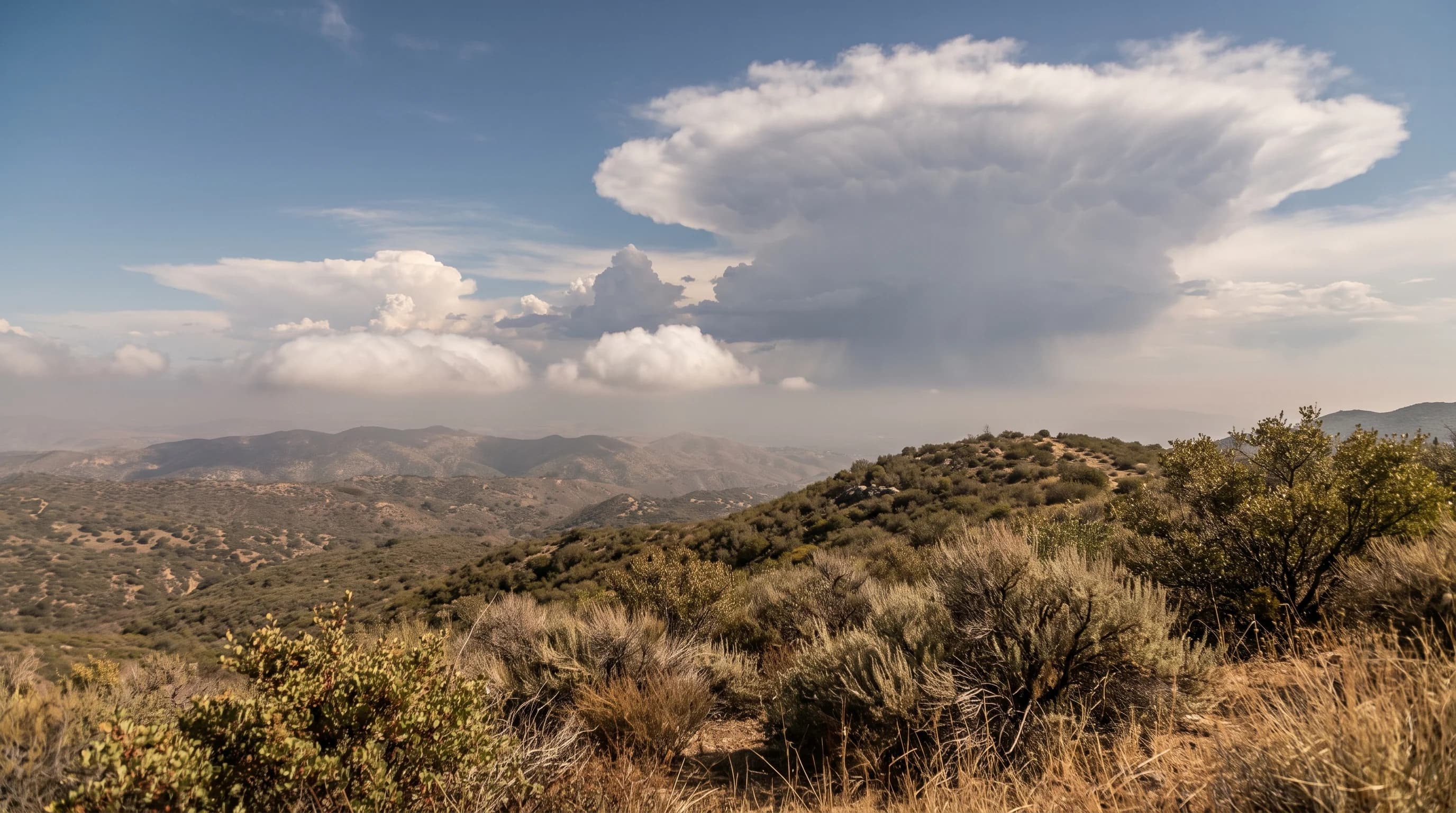
Cumulus vs. Cumulonimbus Clouds Over Los Angeles

Cumulus vs. Cumulonimbus Clouds Over Los Angeles

Fair-weather cumulus and a full cumulonimbus thunderstorm are the same cloud family at different stages of vertical growth. Watching how a tower changes shape over a few minutes reveals which one you are looking at.

10 min read →
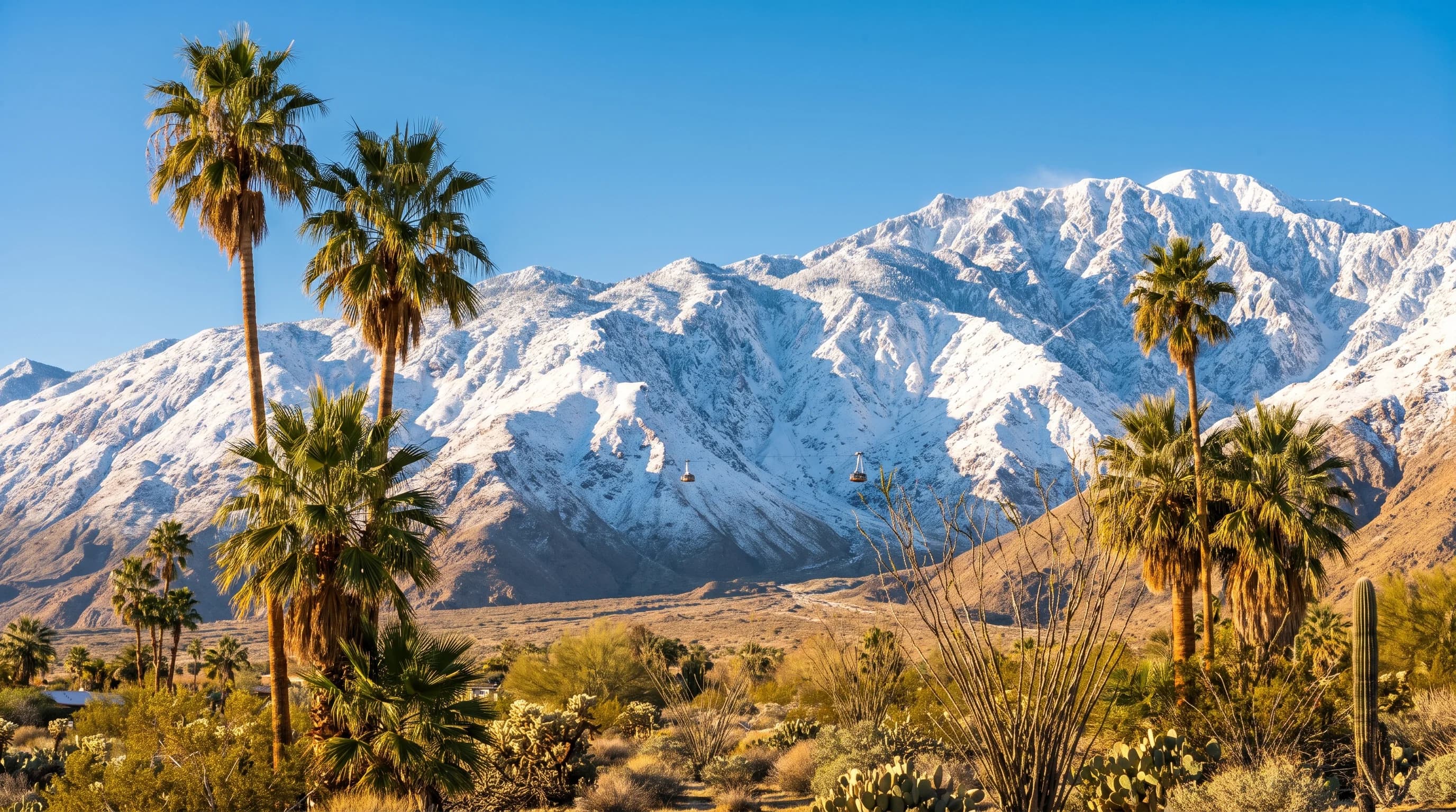
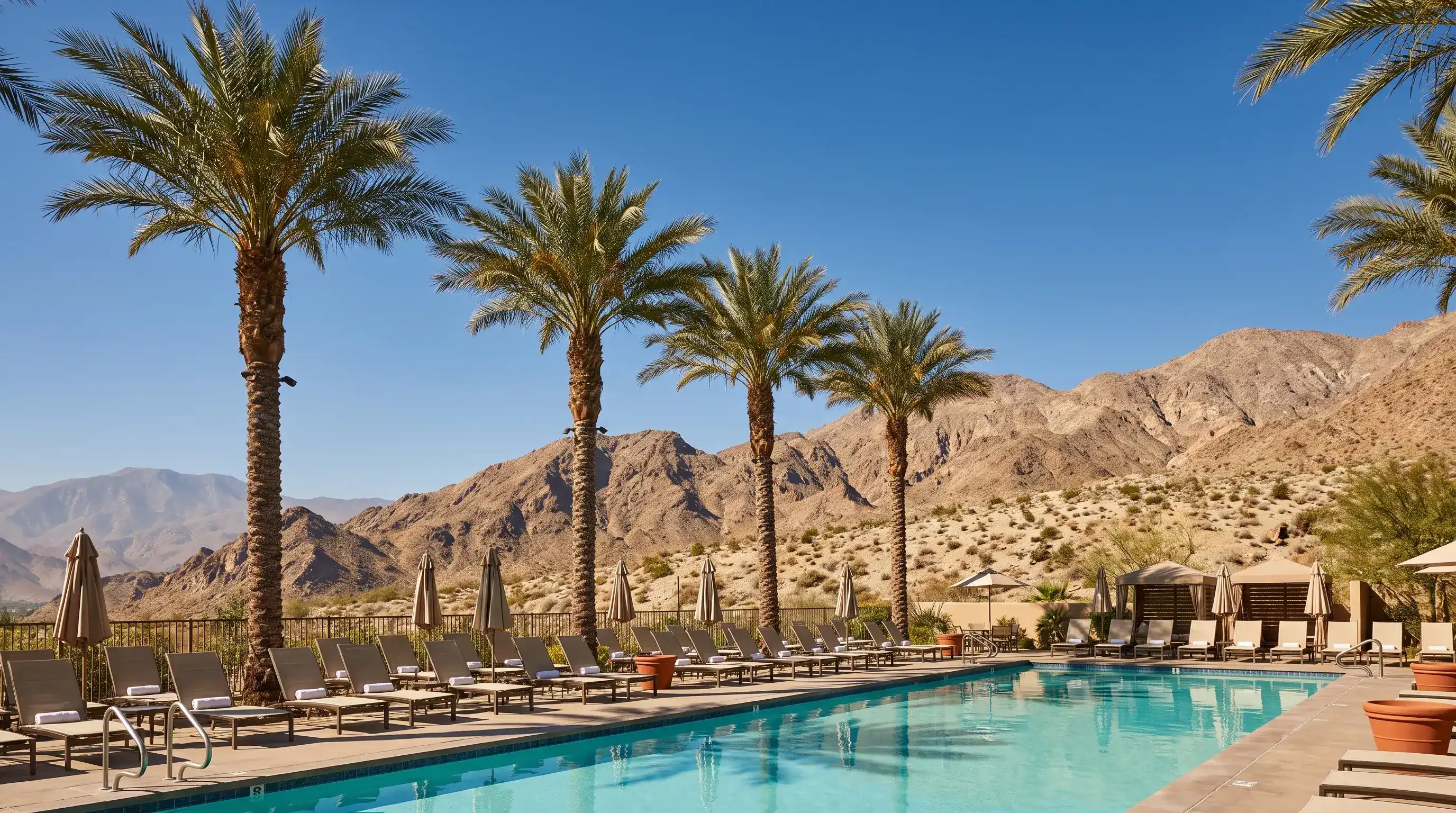
Palm Springs Snow: Two Climates, One Tram Ride

Palm Springs Snow: Two Climates, One Tram Ride

The Palm Springs desert floor almost never sees snow, but the Aerial Tramway climbs nearly 6,000 vertical feet to reliable San Jacinto snowpack in about ten minutes, one of the sharpest winter elevation contrasts in the country.

8 min read →
Flood vs. Flash Flood: What LA's Alerts Mean

Flood vs. Flash Flood: What LA's Alerts Mean

Flood and flash flood alerts sound similar but describe very different timelines. Here is how LA's five NWS flood products differ, and which one demands you move immediately.

10 min read →
Why LA Rarely Gets Thunderstorms

Why LA Rarely Gets Thunderstorms

Every thunderstorm needs moisture, instability, and lift stacked in the same place at once. Coastal Los Angeles usually has at most two of the three, which is the real reason storms stay rare near the beach and routine over the mountains.

10 min read →
How to Check If California Is in Drought Right Now

How to Check If California Is in Drought Right Now

California's drought status is not one fixed fact. It is a live reading from the Drought Monitor, snowpack, and reservoir data that shifts through the year, and this guide shows exactly where to check it.

10 min read →
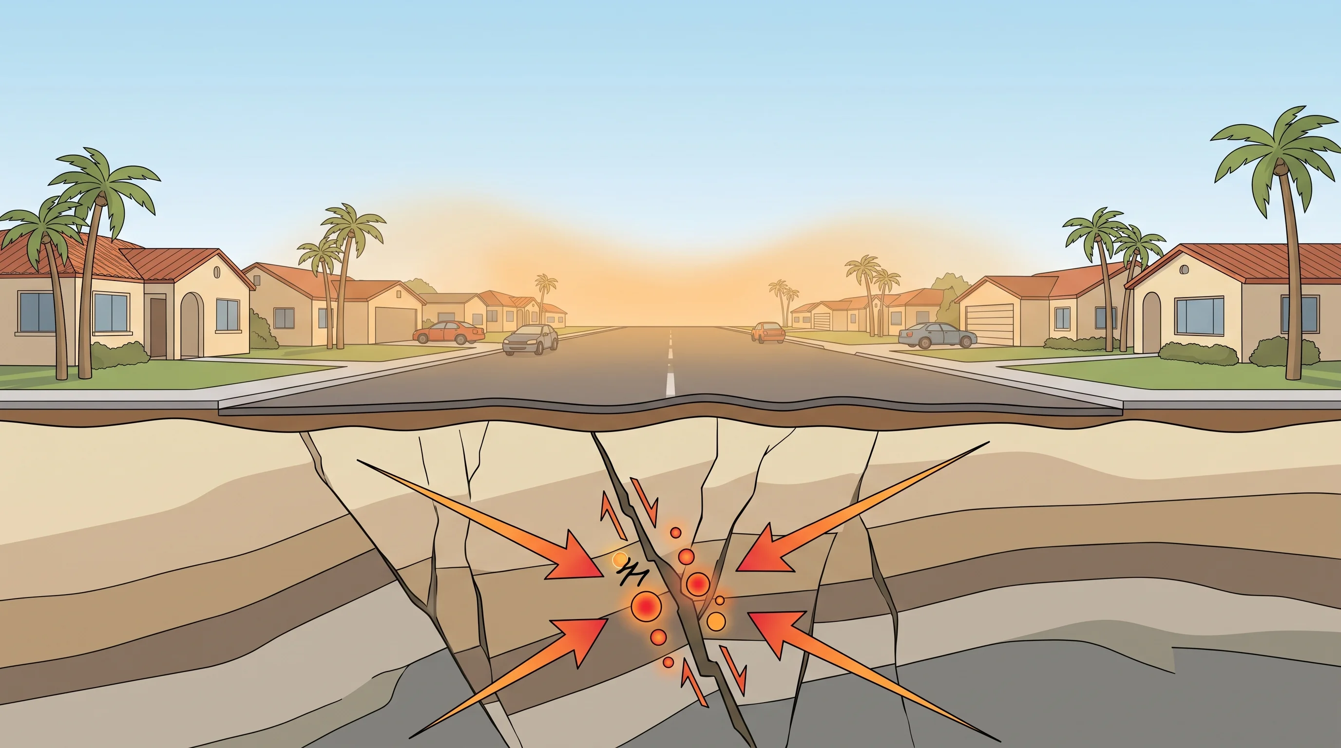
Earthquake Weather Is a Myth That Will Not Go Away

Earthquake Weather Is a Myth That Will Not Go Away

Seismologists have found no reliable weather pattern that predicts an earthquake. The Southern California myth persists mainly because a hot, still day is easy to remember after a notable quake.

10 min read →
Los Angeles Marine Layer: Why Mornings Turn Gray

Los Angeles Marine Layer: Why Mornings Turn Gray

The Los Angeles marine layer is cool, moist ocean air trapped beneath a warm inversion cap, and it explains why the coast can be gray at 8 a.m. while inland neighborhoods are already sunny.

10 min read →
A Wet LA Winter Is a Handful of Big Storms

A Wet LA Winter Is a Handful of Big Storms

A wet Los Angeles winter is not weeks of drizzle. It is a handful of Pacific storms, often just five to eight multi-day systems, that deliver most of the season's total rainfall in bursts.

10 min read →
Pineapple Express: Why It Comes From Hawaii

Pineapple Express: Why It Comes From Hawaii

A Pineapple Express is the Hawaii-sourced version of an atmospheric river, warmer and wetter than a typical Pacific storm, with a snow level too high to favor mountain snow.

9 min read →
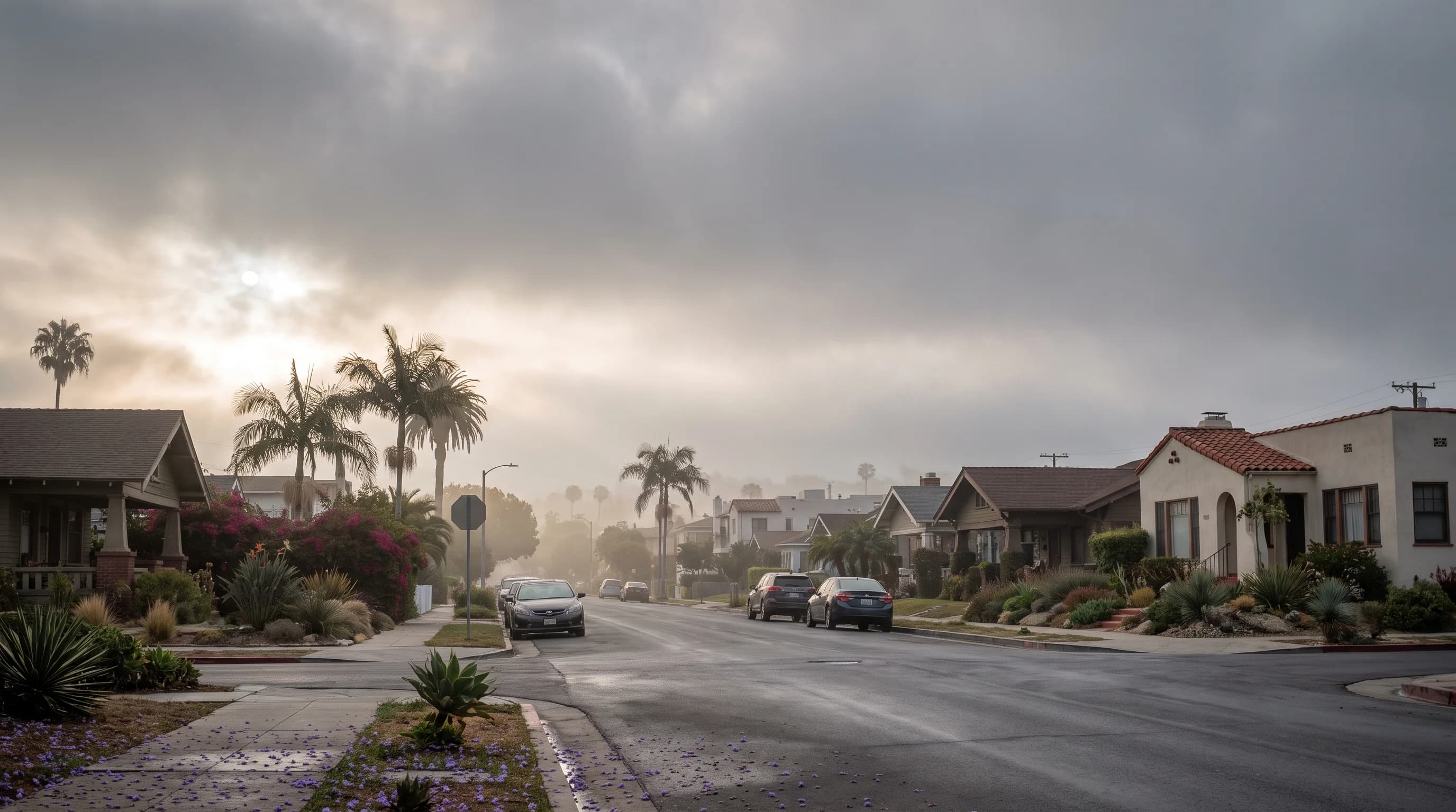
Smog, Smoke, or Fog? The LA Checklist That Works

Smog, Smoke, or Fog? The LA Checklist That Works

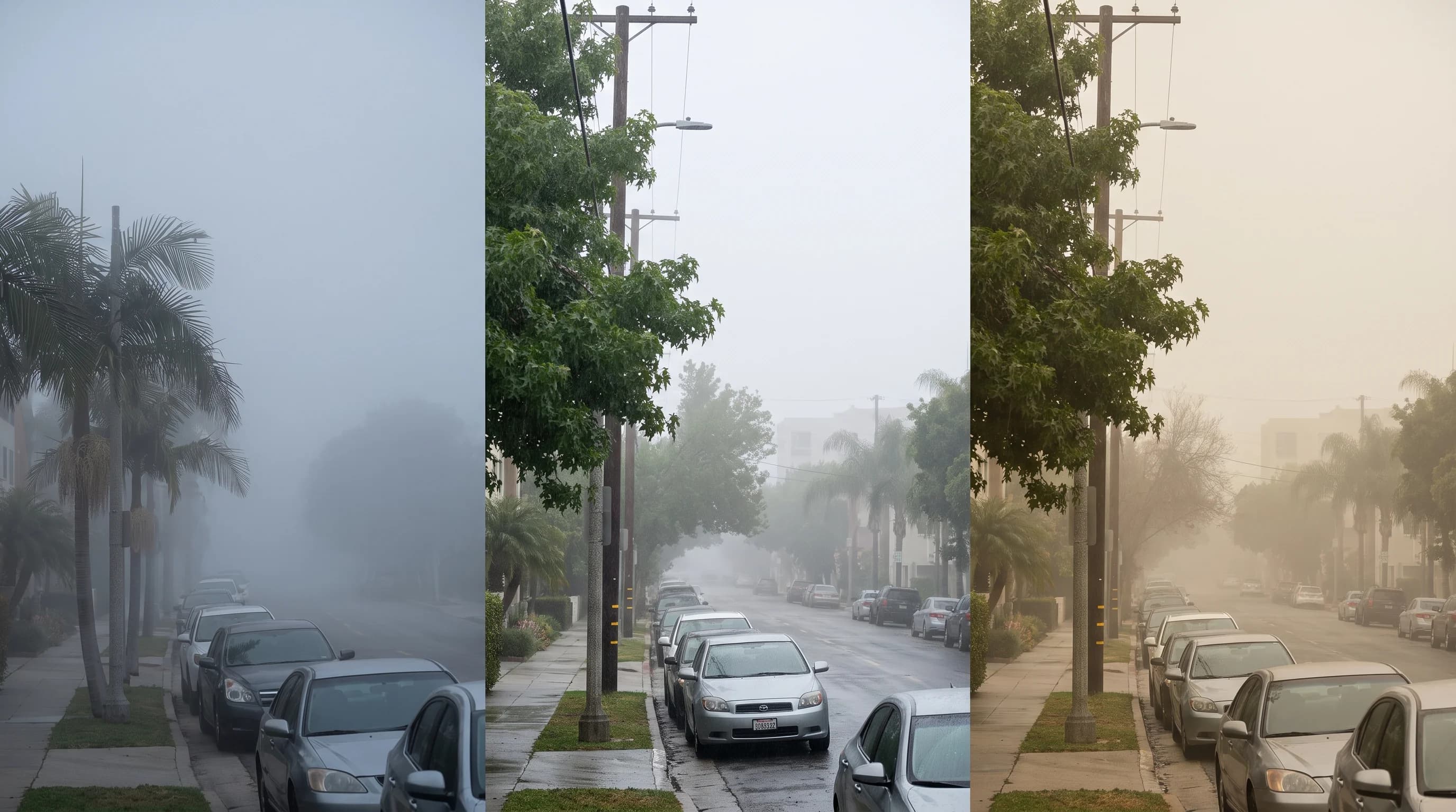
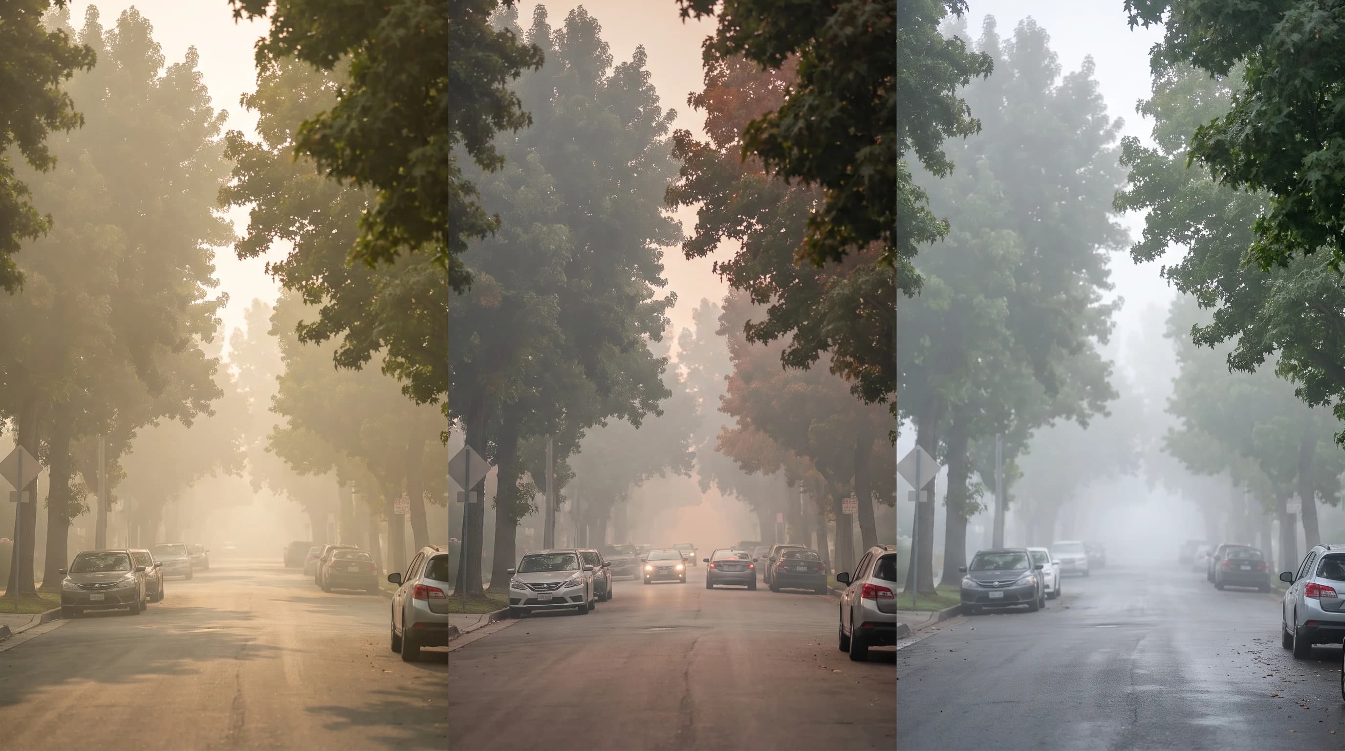
Smog, wildfire smoke, and fog can look nearly identical over Los Angeles, but they differ in smell, timing, and season, and a 30-second AQI check settles what a photo cannot.

9 min read →
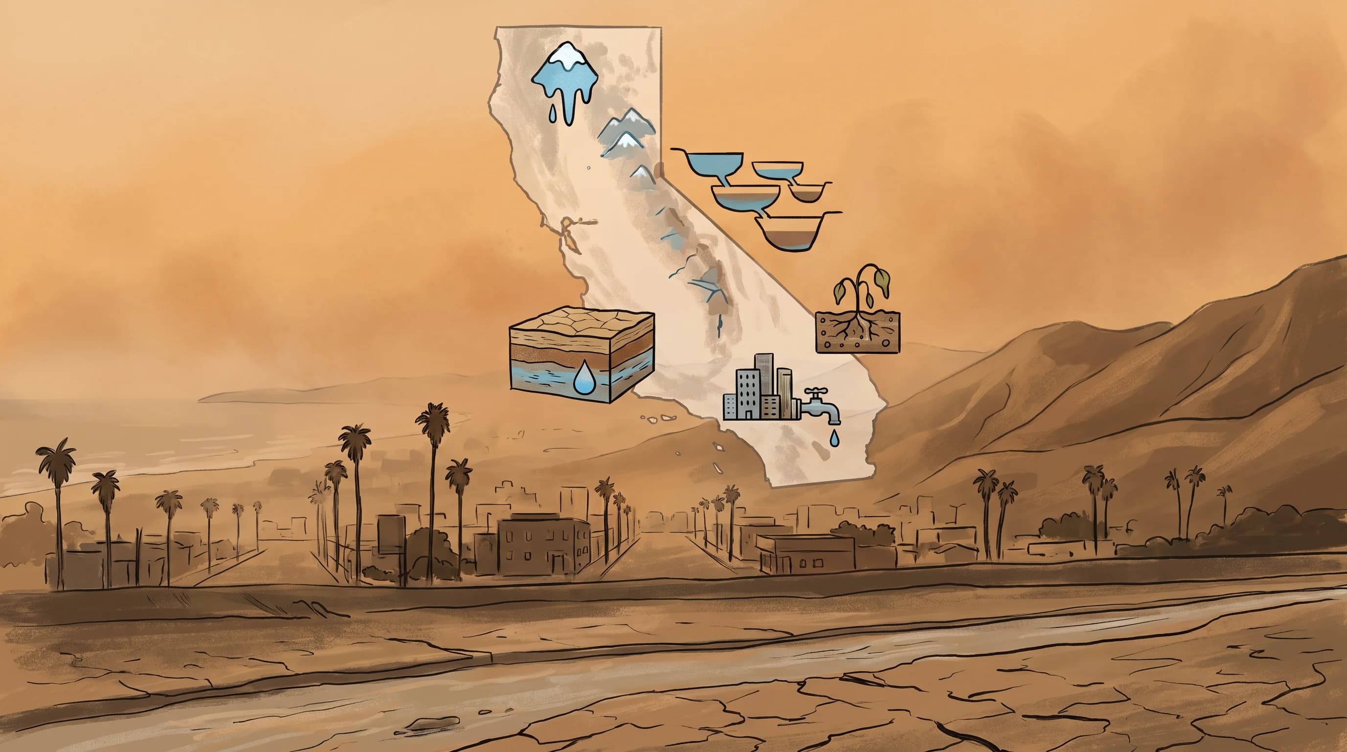
Why SoCal Runs Out of Water Even When It Rains

Why SoCal Runs Out of Water Even When It Rains

Southern California gets barely more rain in an average year than parts of the Mojave, and it imports most of its water from hundreds of miles away. That combination, not any single dry winter, is why the region is structurally built for drought.

9 min read →
Coast, Basin, Valley: LA Has Three Hottest Months

Coast, Basin, Valley: LA Has Three Hottest Months

Los Angeles does not share one "hottest month": the coast typically peaks in late summer while inland valleys peak closer to July, a split driven by how slowly the Pacific Ocean warms.

10 min read →
LA UV Can Hit "Very High" Under Gray, Cool Skies

LA UV Can Hit "Very High" Under Gray, Cool Skies

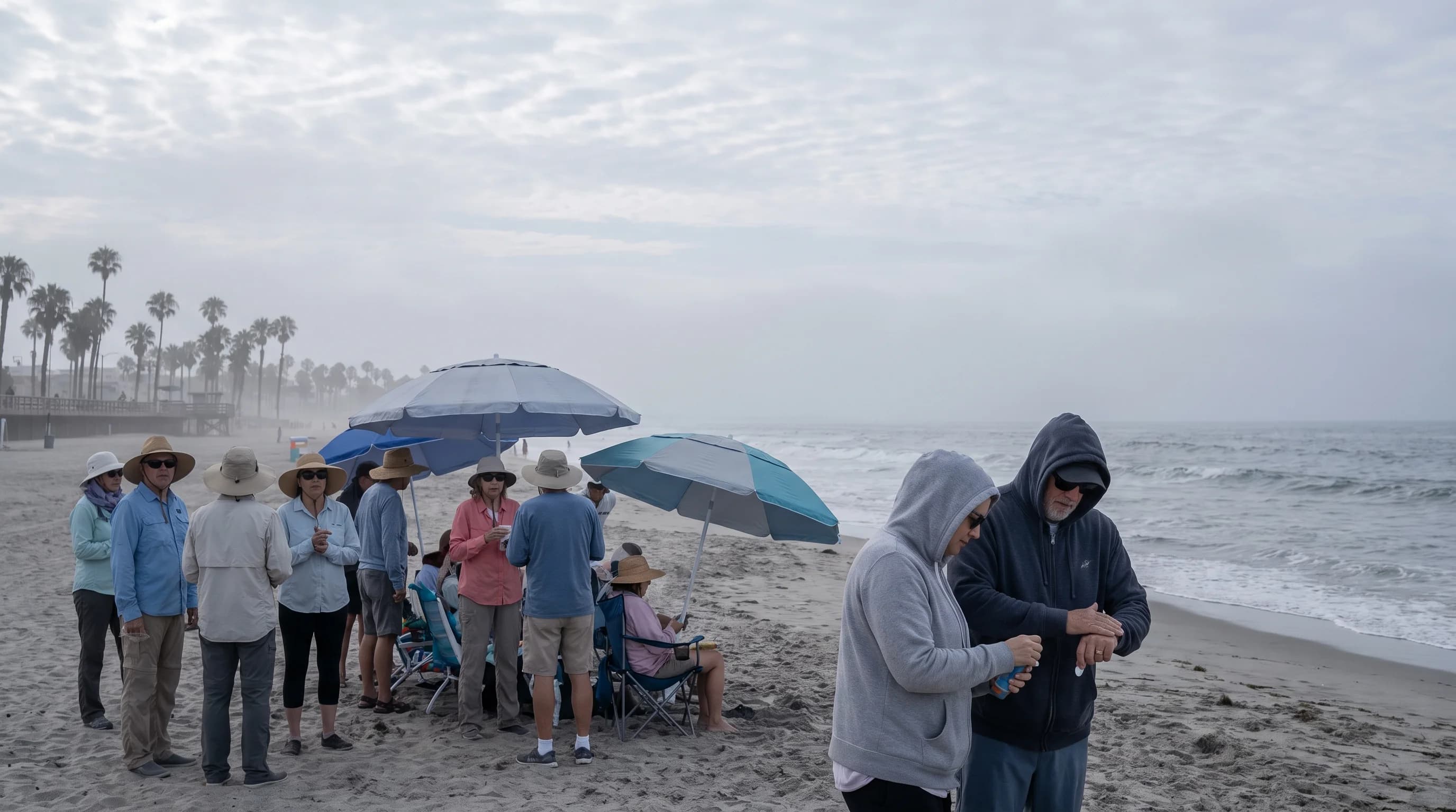
A cool, overcast morning in Los Angeles can carry nearly as much sunburn risk as a hot, clear afternoon, because the UV Index tracks sun angle and elevation, not temperature or brightness.

12 min read →
LA Storms Rare at Coast, Routine in the Mountains

LA Storms Rare at Coast, Routine in the Mountains

Cool Pacific air keeps the Los Angeles coast and basin thunderstorm-free most of the year, but winter storms, summer monsoon surges, and rare tropical remnants still bring real lightning risk, especially over the mountains.

9 min read →
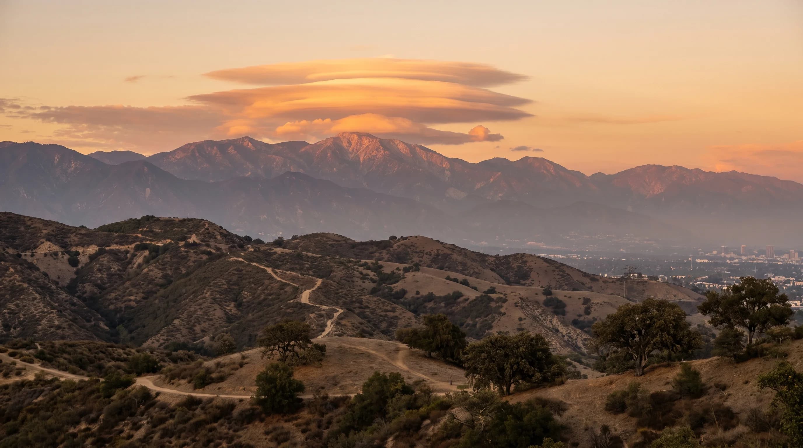
San Gabriel Lenticular Clouds: The Mountain Wave

San Gabriel Lenticular Clouds: The Mountain Wave

The saucer-shaped clouds that sometimes cap the San Gabriel Mountains aren't drifting, they're marking a fixed point in a standing wave of stable air flowing over the ridge.

11 min read →
How a SoCal Wildfire Grows Its Own Storm Cloud

How a SoCal Wildfire Grows Its Own Storm Cloud

Intense SoCal wildfire heat can lift a smoke plume high enough to form a true water cloud on top of it. When that cloud glaciates and starts producing lightning, fire crews call it a pyrocumulonimbus, and it is a sign of dangerous, erratic fire behavior.

9 min read →
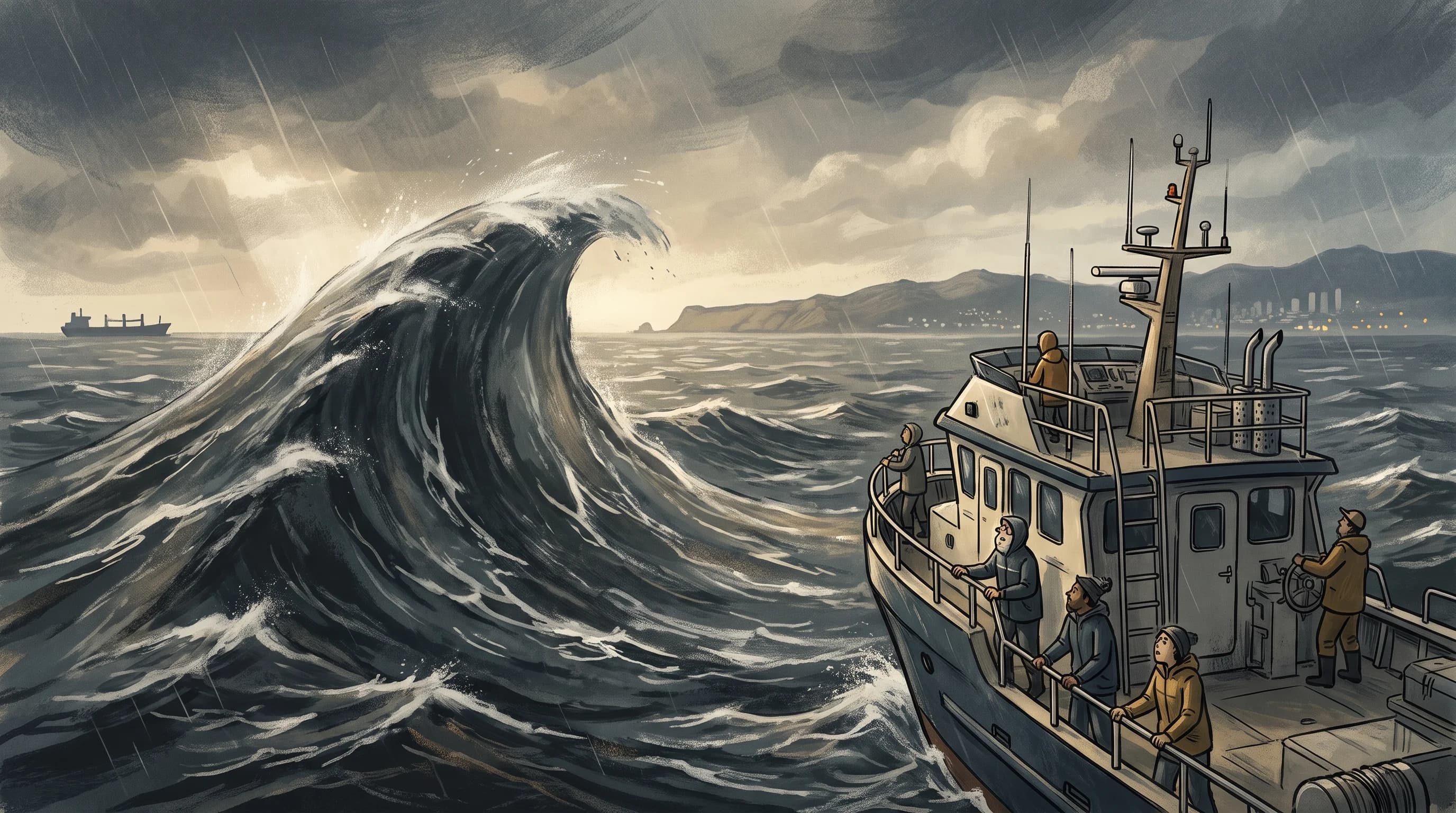
Rogue Waves Are Statistical Freaks, Not Big Surf

Rogue Waves Are Statistical Freaks, Not Big Surf

Rogue waves are open-ocean events defined by how they compare to the surrounding sea state, not a label for any dramatic wave video. Here is how they form and how they differ from the shoreline hazards Southern California beachgoers actually face.

9 min read →
Waterspouts Off SoCal: When One Becomes a Tornado

Waterspouts Off SoCal: When One Becomes a Tornado

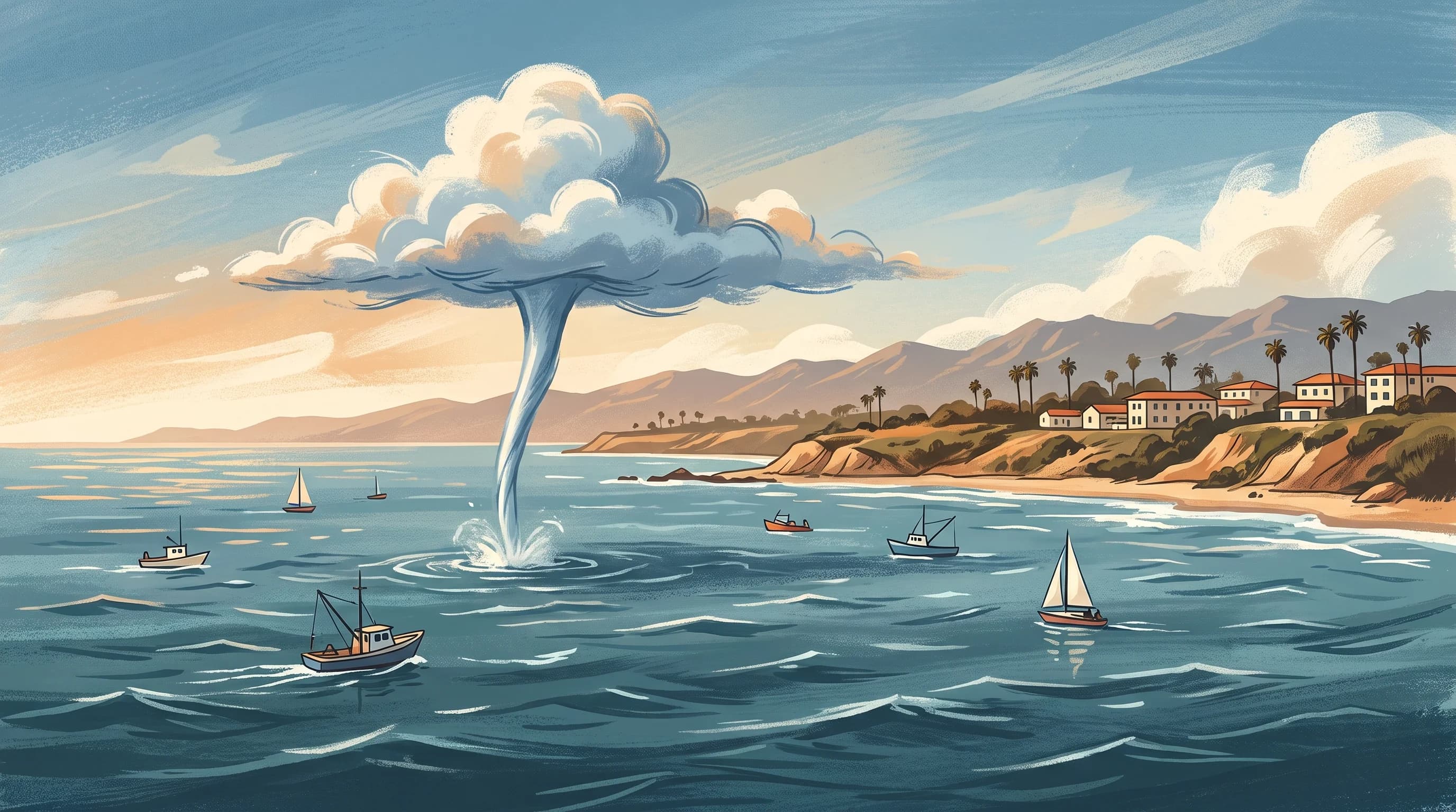
Southern California sees waterspouts most cool seasons, and nearly all of them are the weaker fair-weather type. The rarer tornadic kind can move onshore and become a genuine hazard.

10 min read →
How High Pressure Traps LA Under a Heat Dome

How High Pressure Traps LA Under a Heat Dome

LA heat waves are not random hot days. They form when a stubborn high-pressure ridge sinks and dries the air overhead, shuts off marine cooling, and lets heat build for days in a row.

11 min read →
How a Stepped Leader Fires SoCal's Rare Lightning

How a Stepped Leader Fires SoCal's Rare Lightning

Every lightning bolt, rare or routine, follows the same physical sequence: ice collisions separate charge, a stepped leader gropes toward the ground, and a return stroke fires the flash you actually see.

11 min read →
How a Fire Whirl Becomes a Fire Tornado

How a Fire Whirl Becomes a Fire Tornado

Most fire whirls on a Southern California wildfire are small, brief spinning columns of flame and ash. A rare few, given the right terrain, wind, and fuel, grow into far more dangerous fire tornadoes.

9 min read →
Mediterranean Climate: Why LA Has Dry Summers

Mediterranean Climate: Why LA Has Dry Summers

Los Angeles gets almost all its rain between November and March because a single Pacific high pressure system shifts north in summer and south in winter. The same mechanism explains four other Mediterranean-climate coastlines worldwide.

10 min read →
Rain Shadow: Palm Springs Dry, San Gabriels Soaked

Rain Shadow: Palm Springs Dry, San Gabriels Soaked

The San Gabriel, San Bernardino, and San Jacinto Mountains wring the rain out of Pacific storms before that air ever reaches the Antelope Valley, Mojave Desert, or Coachella Valley, leaving those deserts in a persistent rain shadow.

10 min read →
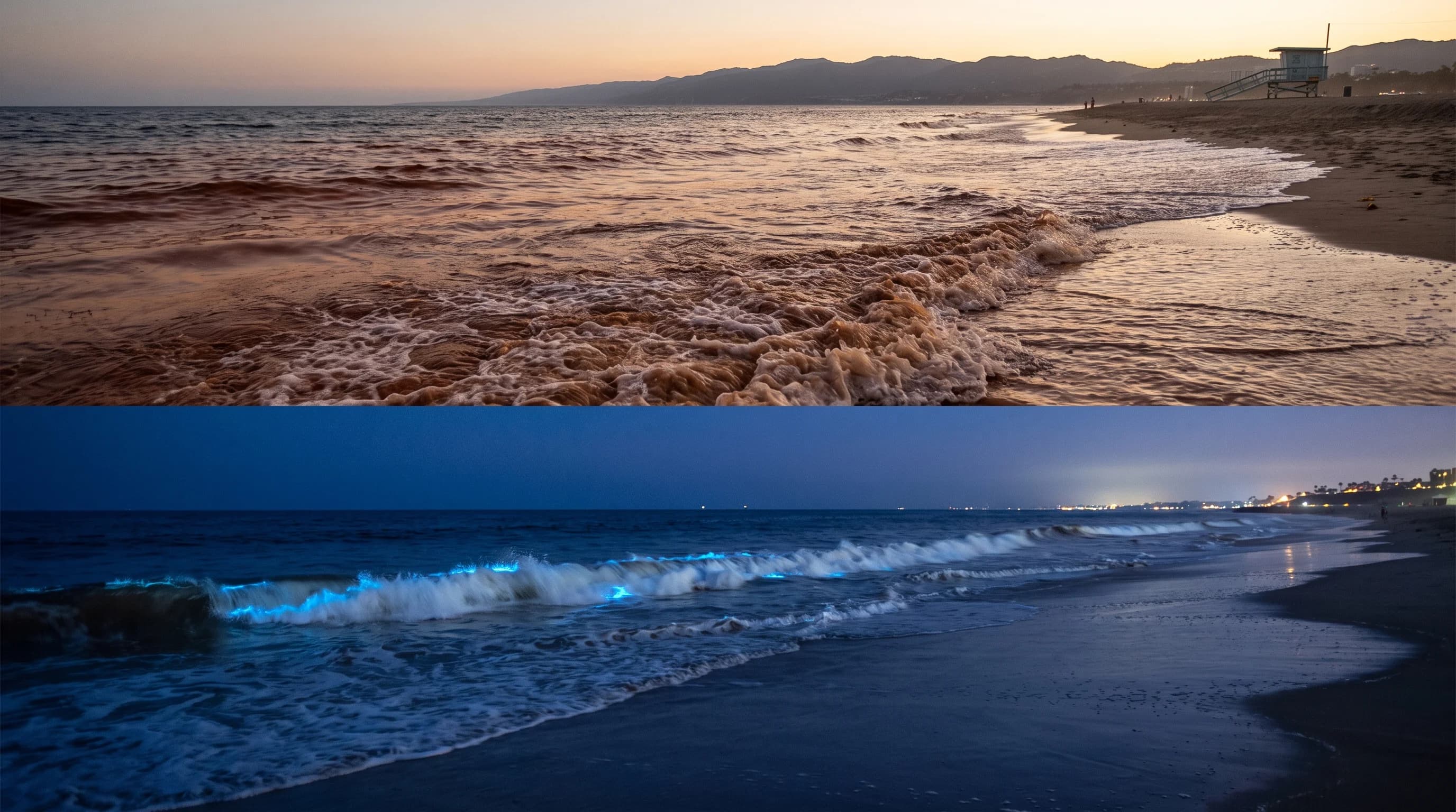
SoCal Red Tide: Red by Day, Glowing Blue at Night

SoCal Red Tide: Red by Day, Glowing Blue at Night

The same Southern California algae bloom can tint the surf reddish-brown in daylight and make breaking waves glow electric blue after dark, two different effects from one organism.

10 min read →
Rip Currents Aren't Rip Tides: Spot the Channel

Rip Currents Aren't Rip Tides: Spot the Channel

Rip currents are narrow channels of water racing away from shore through gaps in sandbars, not an undertow pulling swimmers under. Here is how to spot the channel and swim out of one safely.

10 min read →
Sea Breeze: Why LA's Wind Turns Onshore Daily

Sea Breeze: Why LA's Wind Turns Onshore Daily

The Los Angeles sea breeze is a daily, sun-driven wind that turns onshore each afternoon because inland land heats much faster than the Pacific Ocean.

9 min read →
Sneaker Waves: The One Wave That Reaches Dry Sand

Sneaker Waves: The One Wave That Reaches Dry Sand

A sneaker wave is the one wave in an otherwise ordinary set that runs unusually far up the beach, catching people on dry sand rather than in the surf. Here is how it forms and where Southern California visitors are most exposed.

10 min read →
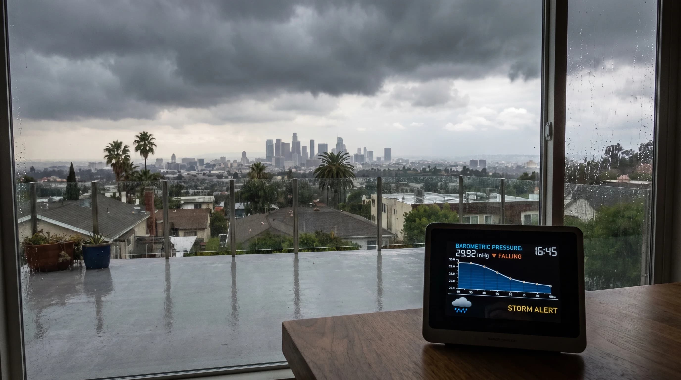
Why LA Barometric Pressure Drops Before a Storm

Why LA Barometric Pressure Drops Before a Storm

A falling barometer means rising air and an approaching low pressure system, one of the most reliable storm signals there is. In Los Angeles it still needs a map, a forecast, and a time window to mean anything specific.

9 min read →
How a Thunderstorm Builds a Hailstone in Layers

How a Thunderstorm Builds a Hailstone in Layers

A hailstone is built inside a thunderstorm's updraft through repeated passes past supercooled water, not formed while falling. Southern California sees mostly small hail, concentrated over the mountains and deserts in summer.

10 min read →
Why PM2.5 Drives LA Wildfire Smoke AQI Spikes

Why PM2.5 Drives LA Wildfire Smoke AQI Spikes

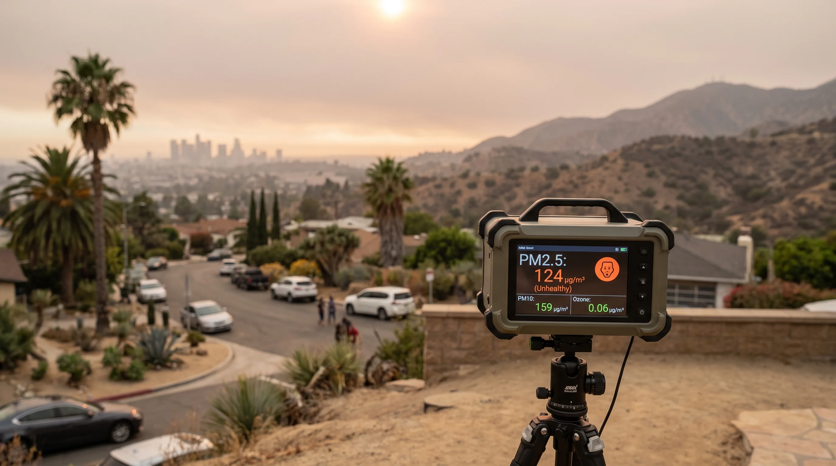
PM2.5 is a size category of airborne particles small enough to reach deep into the lungs, and it is usually the pollutant driving Los Angeles's AQI number during wildfire smoke.

14 min read →
What Is the Heat Index? Why Humid Heat Feels Worse

What Is the Heat Index? Why Humid Heat Feels Worse

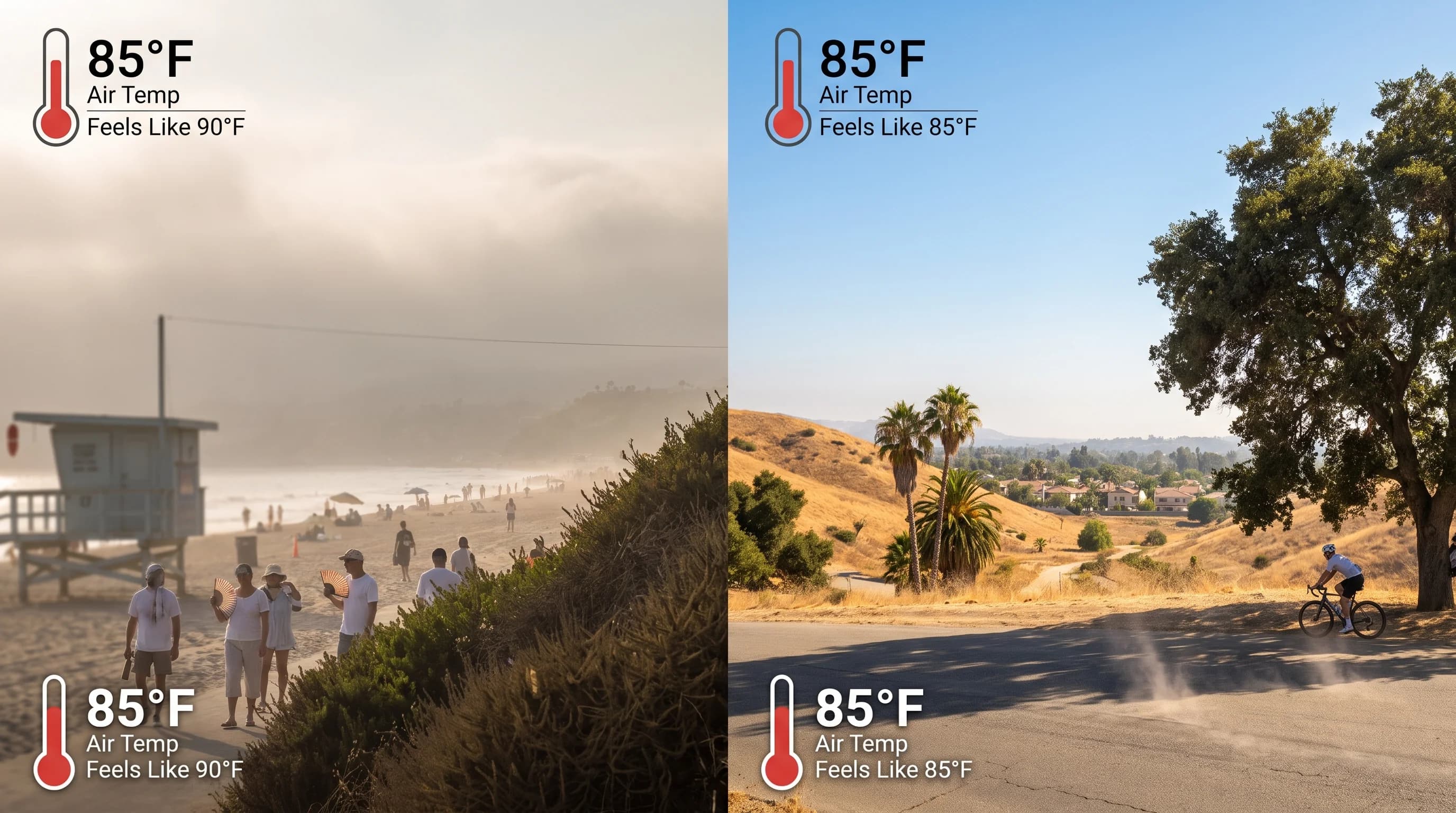
The heat index estimates how hot LA air feels once humidity slows sweat evaporation, but it assumes shade and light wind. A humid coastal afternoon can carry a higher heat index than a hotter, drier inland one.

8 min read →
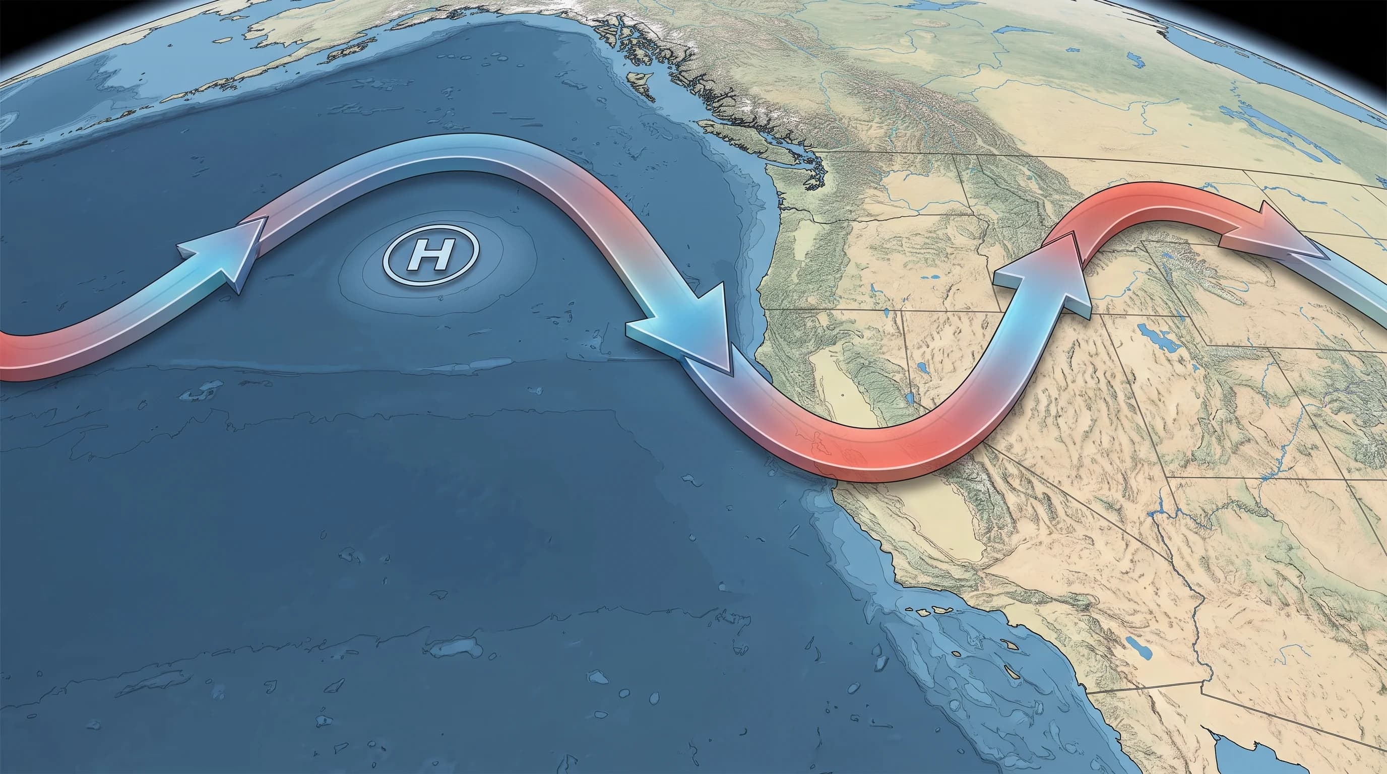
What Is the Jet Stream? How It Steers California Storms

What Is the Jet Stream? How It Steers California Storms

The jet stream is the upper-level wind current that decides whether Pacific storms track into California or get deflected away. Its ridges and troughs, not the calendar, set the region's wet and dry stretches.

9 min read →
Why Monsoon Storms Skip the LA Coast

Why Monsoon Storms Skip the LA Coast

The North American monsoon pulls Gulf of California moisture into the Southwest each summer, occasionally triggering desert thunderstorms near Palm Springs and Joshua Tree while coastal Los Angeles stays largely untouched.

9 min read →
Virga: Desert Rain That Never Touches the Ground

Virga: Desert Rain That Never Touches the Ground

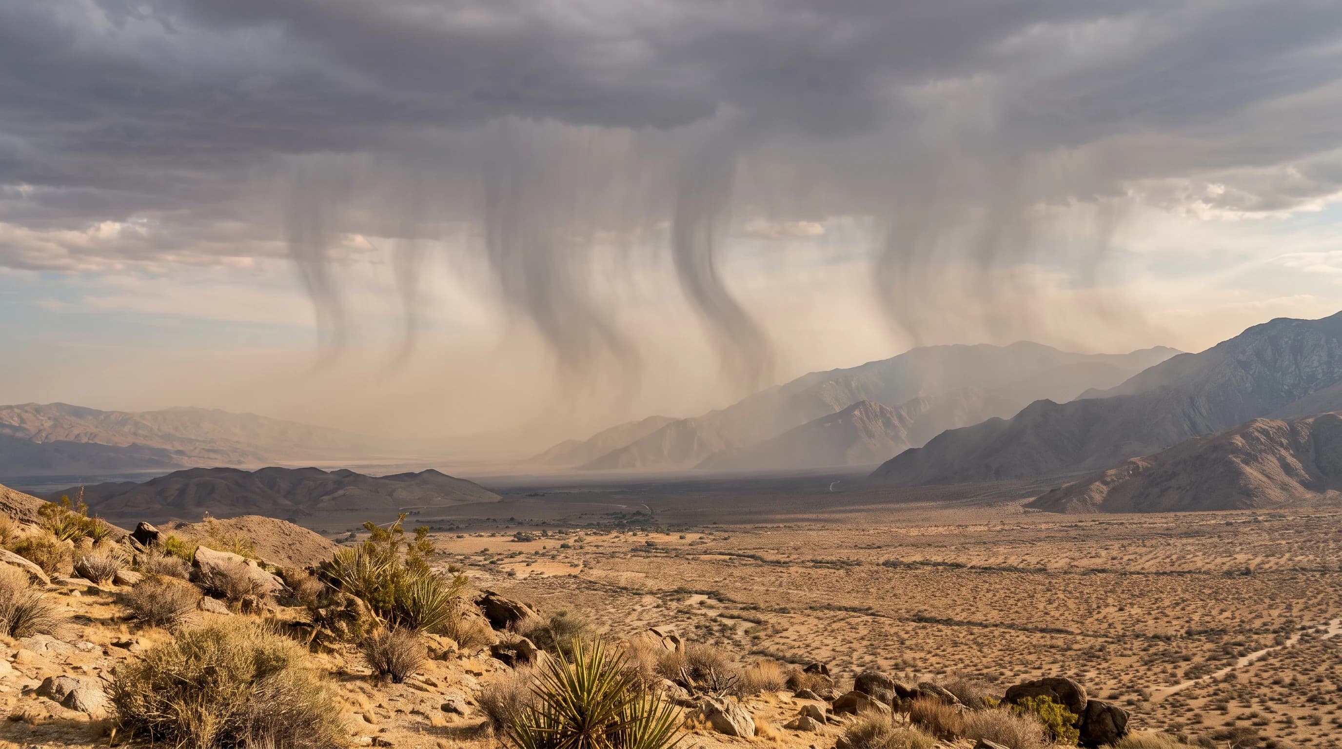
Over the Coachella Valley and Mojave Desert, rain often falls visibly from a cloud and vanishes before it ever reaches the sand. Here is why virga forms, and when the evaporating streaks turn into sudden desert wind gusts.

10 min read →
Wet-Bulb Temperature: The Heat Limit That Matters

Wet-Bulb Temperature: The Heat Limit That Matters

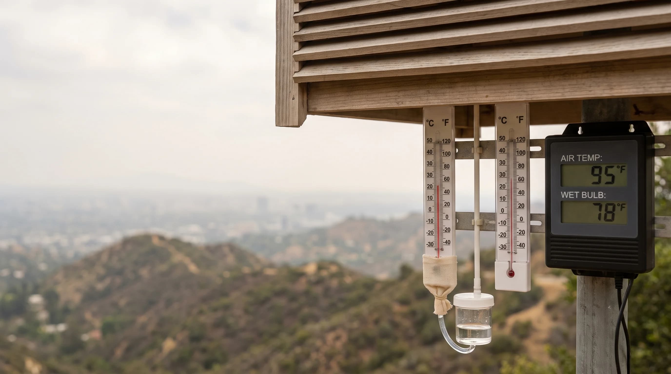
Wet-bulb temperature measures how much cooling evaporation can still provide once you factor in humidity, not just how hot the air reads on a thermometer. Here is how it works and when it matters most in Southern California.

11 min read →
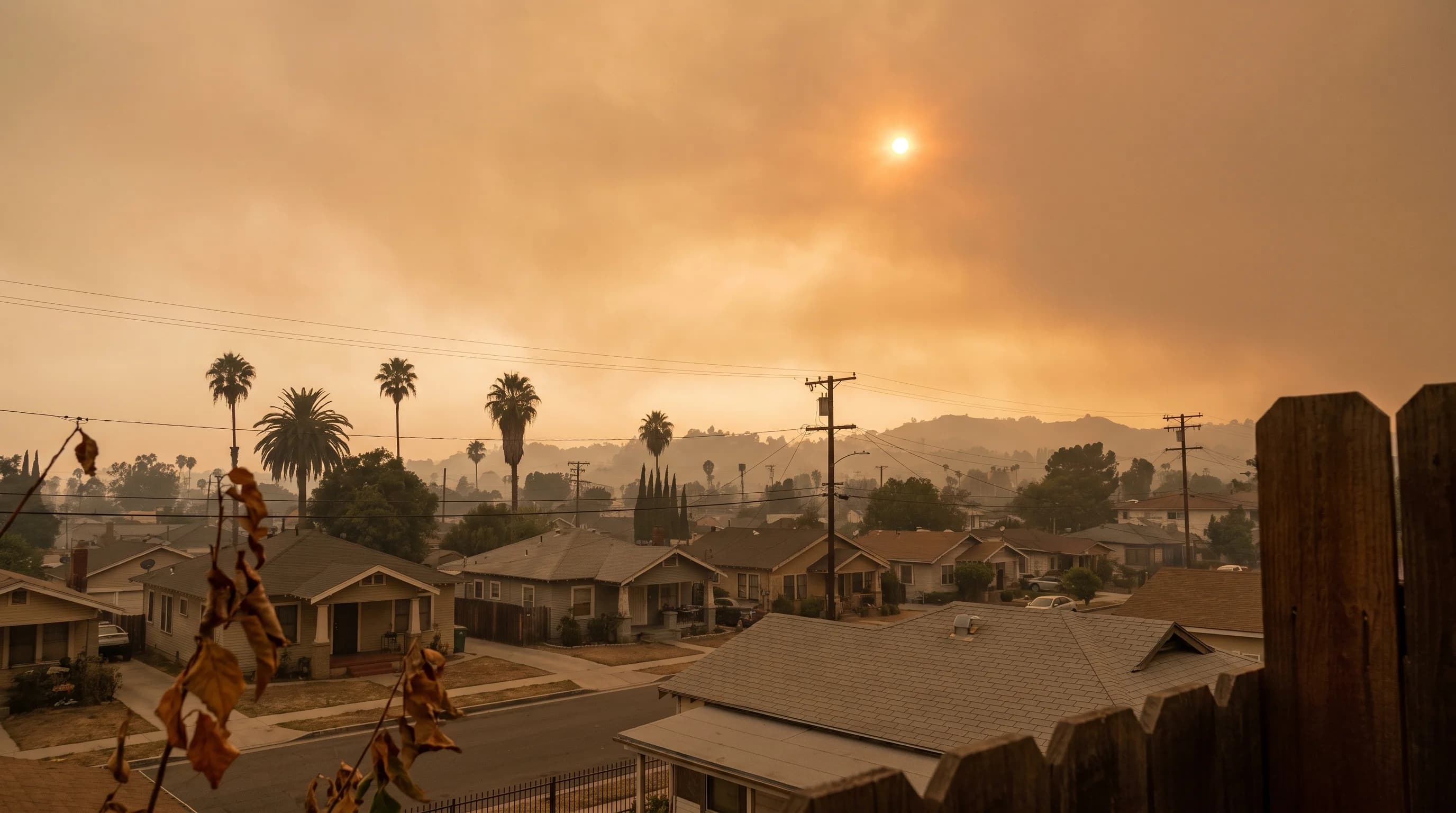
Why Wildfire Smoke Turns the LA Sky Orange

Why Wildfire Smoke Turns the LA Sky Orange

Wildfire smoke filters out shorter blue wavelengths and lets longer red and orange light through, the same physics behind a vivid sunset. But an orange sky says nothing about the PM2.5 level you're actually breathing.

9 min read →
LA Microclimates: Why Weather Changes So Fast

LA Microclimates: Why Weather Changes So Fast

Los Angeles has so many microclimates because ocean distance, elevation, mountain terrain, urban surfaces, and wind exposure all change sharply and independently within a single county.

12 min read →
The 1943 LA "Gas Attack": How a Mystery Became Smog Science

The 1943 LA "Gas Attack": How a Mystery Became Smog Science

Los Angeles became the smog capital of America through a specific stack of factors: a mountain-ringed basin, the country's earliest mass car dependence, and near-daily inversions. Here is how that combination was discovered and what has changed since.

9 min read →
Destinations☀️Smog Forecast🌫️Smog Heat Map🔒Privacy Policy📄Terms of Service