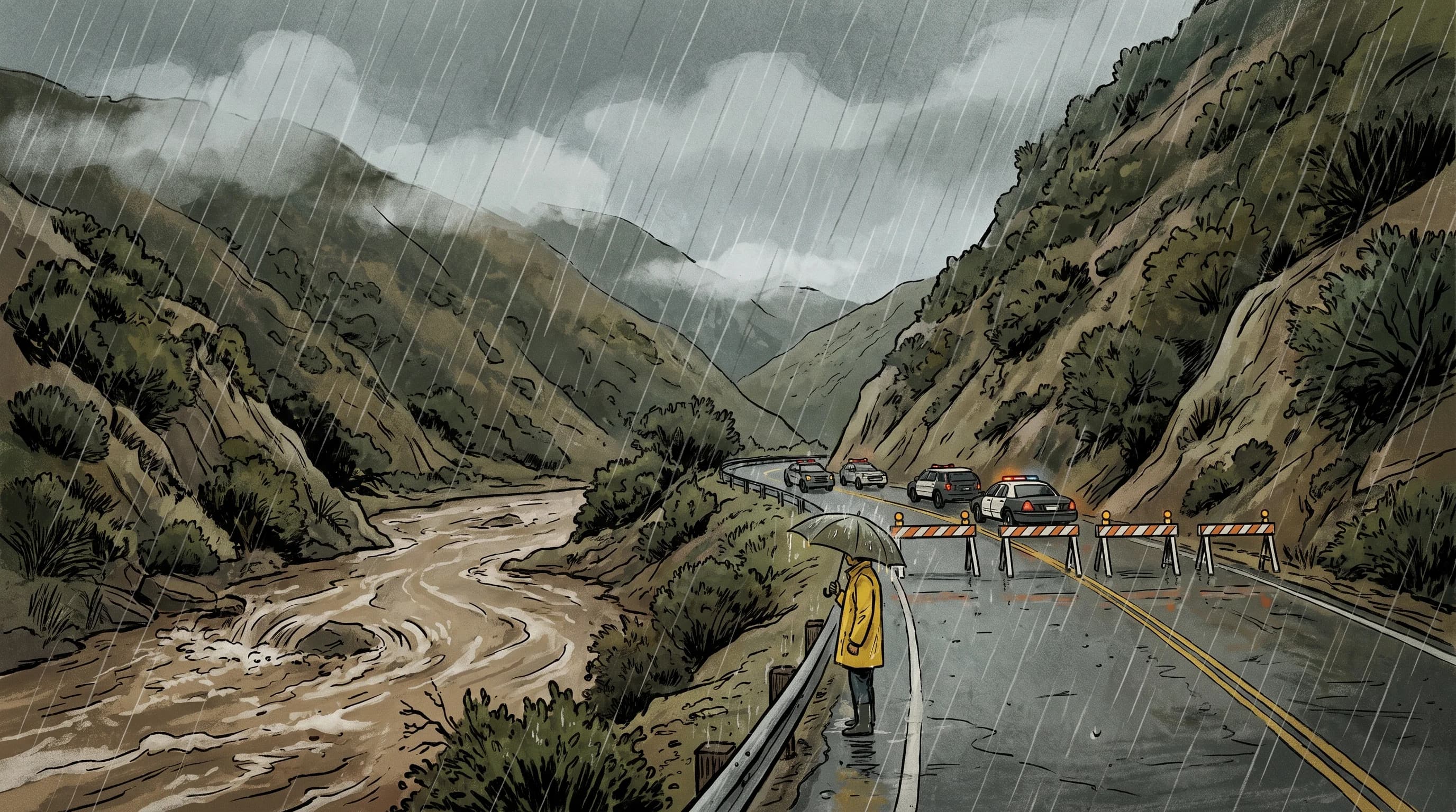
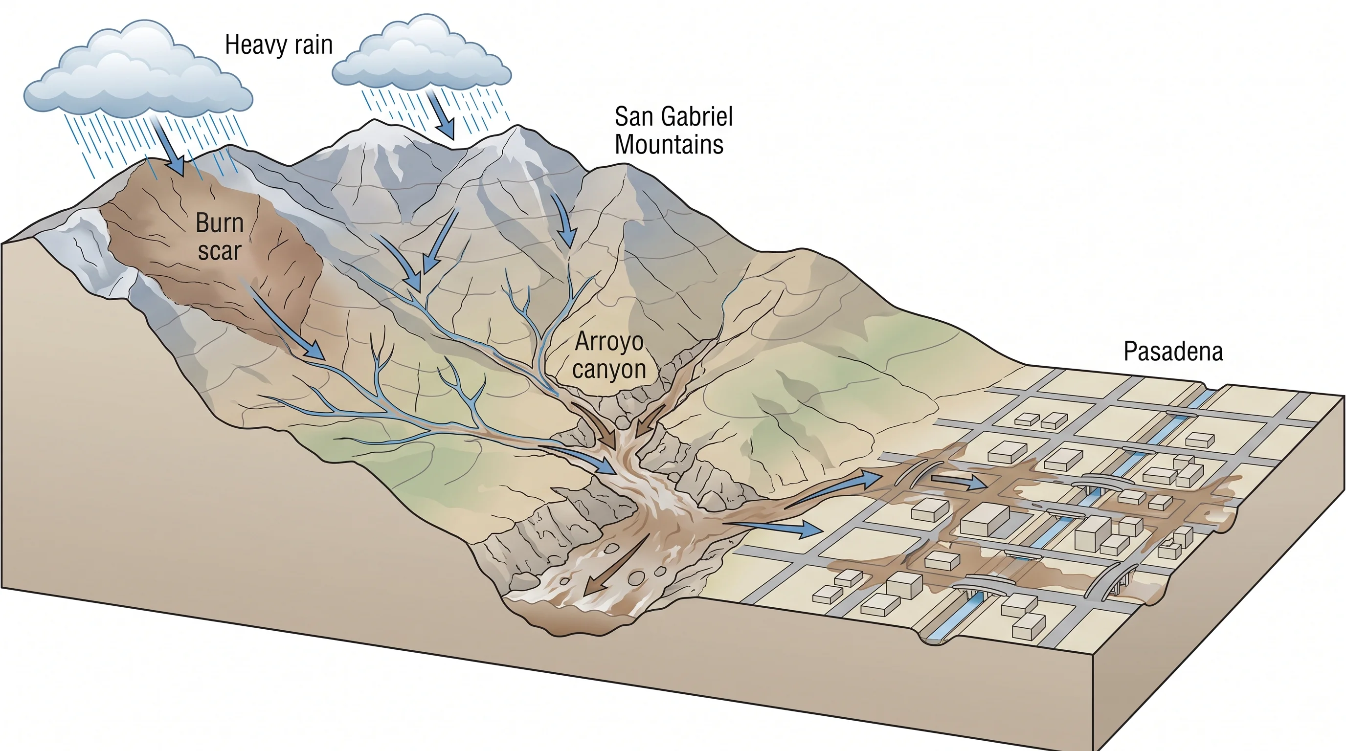
Pasadena floods fast because it sits directly below the steep front of the San Gabriel Mountains. Watersheds like the Arroyo Seco and Eaton Canyon carry an intense downpour from bare rock to a city street in well under an hour. That mountain-front location, plus a history of wildfire on the slopes above town, gives Pasadena a debris-flow and flash-flood risk unlike the rest of the Los Angeles Basin. Rain that would soak into unburned, gentle ground instead runs off burned granite and funnels through a few canyon mouths into a dense street grid.
How Does Mountain Rain Reach Pasadena So Quickly?
Mountain rain reaches Pasadena within minutes because the watersheds above the foothills are short and extremely steep. Mount Wilson, at about 5,700 feet, and the peaks around it rise directly above the Rose Bowl and Caltech, only a few miles from city streets.
The Arroyo Seco and Eaton Canyon are Pasadena's two main mountain-front watersheds. The Arroyo Seco runs from the San Gabriel high country past the Rose Bowl toward Downtown Los Angeles. Eaton Canyon drains a separate part of the range into Altadena and northeast Pasadena. Both are small but so steep that intense rain becomes a fast surge of water and sediment far sooner than in a flatter drainage.
The National Weather Service Los Angeles/Oxnard office, which forecasts for this part of the county, treats mountain-front communities like Pasadena, Altadena and La Cañada Flintridge as a separate hazard zone because of this terrain. Their risk differs from the flatter drainage problems closer to the coast.
Flooding in Downtown Los Angeles or the wider LA Basin depends mostly on storm-drain capacity across a huge, gently sloped paved area. Pasadena sits where the mountains meet the city. The key question in Pasadena is how fast rain falls on a specific small watershed above a specific canyon mouth, not how much rain falls citywide.
Why Can the Rain Rate Differ Between Pasadena and the Peaks?
The rain rate differs between Pasadena and the peaks because of orographic lift: moist air forced up the mountains cools and releases extra rain. The San Gabriel Mountains routinely get more rain, and more intense rain, than Pasadena. A storm giving the city moderate rain can be pouring much harder a few thousand feet up the same slope. That matters because runoff depends on rain rate, not the day's total.
NWS Los Angeles/Oxnard radar can also underestimate rain over the highest peaks, because the mountains block part of the radar beam. The office and the Weather Prediction Center combine radar, rain gauges and flash flood guidance to judge foothill risk. A Pasadena resident may see modest rain on their street while a far more dangerous rate falls on the watershed above.
One storm can therefore hit nearby foothill cities very differently. A thunderstorm that stalls over the ridge above Arcadia can leave Pasadena, a few miles west, with ordinary rain. In the next storm, the reverse can happen.
Which Arroyos and Crossings Need Extra Caution?
The Arroyo Seco and Eaton Canyon Wash carry the most flood risk in and around Pasadena, along with the smaller canyons crossing Angeles Crest Highway above the city. The Arroyo Seco channel runs past the Rose Bowl and the Arroyo Seco Golf Course toward Downtown Los Angeles. Its low paths, parking areas and crossings can go from dry to flowing quickly in an intense mountain storm, even when neighborhood rain looks ordinary. Eaton Canyon, on the Pasadena-Altadena border, drains a burned part of the range and has a history of debris flows reaching the canyon mouth and nearby streets.
The City of Pasadena and Los Angeles County Public Works monitor low crossings, dip sections and debris basin overflow points along both drainages and close them during storms. Check official closures for the crossings on your planned route before a storm. The risk at each crossing depends on that day's rain rate and upstream burn conditions, not a fixed ranking.
How Do Recent Burn Scars Change Foothill Runoff?
A recent wildfire above Pasadena turns a manageable rainstorm into a debris-flow hazard because burned soil absorbs much less water. Fire removes the plants that slow runoff and can bake the topsoil into a water-repellent crust. Rain then sheets downhill immediately, picking up ash, soil and rock. The result is a dense, sediment-filled flow that can carry boulders and damage buildings at the canyon mouth, a hazard separate from ordinary flooding.
The 2009 Station Fire burned much of the San Gabriel Mountains above the foothill communities, including slopes draining toward Pasadena and Altadena. The 2025 Eaton Fire burned the Eaton Canyon watershed directly above Altadena and northeast Pasadena. Both raised debris-flow risk for years afterward. Burned soil recovers gradually as plants regrow, so check the USGS Landslide Hazards Program and Los Angeles County Public Works for each burn scar's current status.
Los Angeles County Public Works runs debris basins at the mouths of San Gabriel canyons. These engineered catch basins trap sediment and rock before it reaches homes and streets. Each basin holds a limited, designed amount of debris. That limit is one reason officials order evacuations below a fresh burn scar even for storms that would not threaten an unburned watershed.
| Condition | What typically happens in this watershed type | Why it matters for Pasadena and Altadena |
|---|---|---|
| Unburned, vegetated slope | Rain partly soaks into soil and root systems; runoff builds over a longer window | Ordinary flash flood risk, tied mainly to rain rate and totals |
| Recently burned slope | Scorched, water-repellent soil sheds rain almost immediately as fast runoff | Debris flow risk at much lower rainfall totals than unburned terrain requires |
| Debris basin at canyon mouth | Engineered catch basin traps sediment and rock before it reaches streets | Reduces but does not eliminate risk once basin capacity is exceeded |
| Low arroyo crossing or dip | Concentrates flow from the entire upstream watershed at one narrow point | First place officials close during an active foothill storm warning |
What Does a Warning for the Foothills Mean for the City?
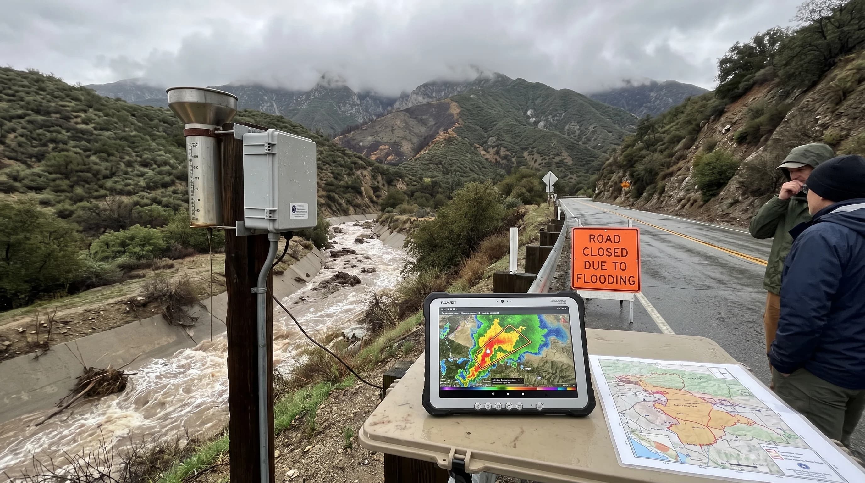
A Flash Flood Warning for the San Gabriel foothills above Pasadena is a signal to act, not just a notice of heavy rain nearby. NWS Los Angeles/Oxnard draws each warning as a polygon around the affected watersheds and downstream communities. The polygon boundary, not the city limit, decides whether a street or crossing is included.
When reading a foothill warning, check the issue and expiration times, because foothill warnings are often short and tied to one storm cell. Also check which way the covered drainage flows.
A warning for upper Eaton Canyon affects neighborhoods downstream in Altadena and northeast Pasadena, even when the rain falls miles up the canyon. When a burn scar sits inside or upstream of the polygon, Los Angeles County may issue a separate evacuation order for that zone. A burn-scar evacuation order is more urgent than a standard flash flood warning because of the debris-flow risk.
When Should Pasadena Residents Avoid Foothill Routes?
Pasadena residents should avoid foothill routes whenever a Flash Flood Warning or debris-flow evacuation order covers the watershed above them. Those routes include Angeles Crest Highway, canyon roads near the Rose Bowl and low crossings along the Arroyo Seco, and they become unsafe well before the storm peaks in the city. Do not wait to see standing water. The fastest surges in a mountain-front watershed arrive with little visible warning.
Heavy rain in the mountains is a reason to delay a canyon-road trip, even if the sky over Pasadena looks calm, because the rain driving the danger falls upstream. Treat every official road closure from the City of Pasadena, Los Angeles County Public Works or Caltrans as final. Barricades mark crossings already judged unsafe, and driving around one is the most common way people get caught in fast-moving water.
Pasadena is a dense, historic city built against one of Southern California's steepest mountain fronts, with a history of wildfire on the slopes above. The mountains, not the clouds overhead, often decide how dangerous a storm becomes at street level.
Heavy rain on the flats is less common than its reputation; the Rose Parade has been rained on only about a dozen times. Before heading to the Rose Bowl, Angeles Crest Highway or a foothill neighborhood in heavy rain, check the NWS warning area, the burn-scar evacuation status for the canyon and local road closures. Use WeatherLA's Los Angeles conditions pages to compare current rain across Pasadena and nearby foothill communities.
For the post-fire version of this hazard, see debris flows after a SoCal wildfire and Los Angeles mudslides.