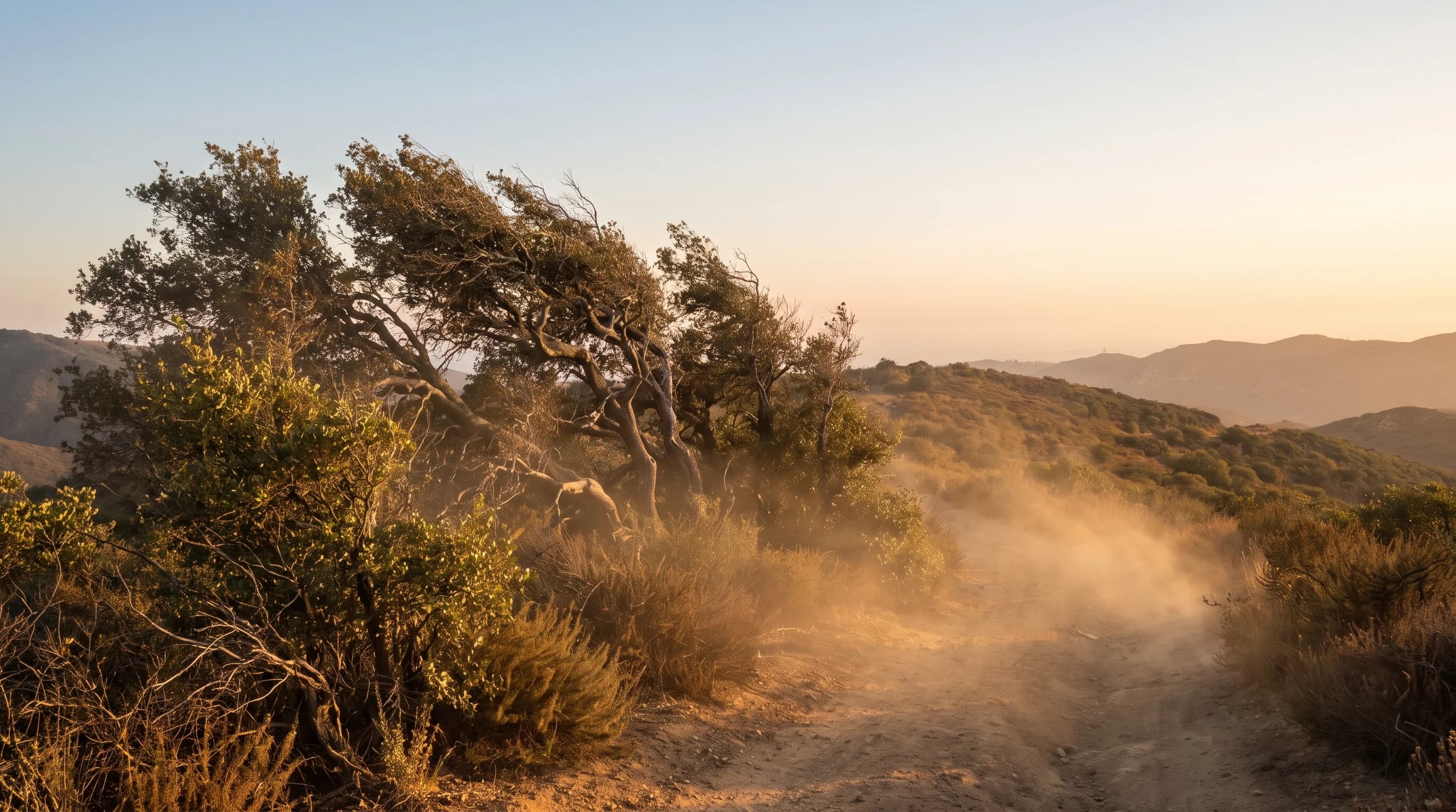
Santa Ana winds are dry offshore winds that form when high pressure builds over the Great Basin and interior Southwest while lower pressure sits along the Southern California coast. Air flows from the high desert toward the ocean, dropping through the passes and canyons in the mountains around the Los Angeles Basin.
As the air sinks, it compresses, warms and dries, reaching the coast as gusty, very dry wind that can turn a spark into a fast-moving wildfire. The National Weather Service offices in Los Angeles/Oxnard and San Diego track Santa Ana events closely because they drive the region's most dangerous fire weather. Strong east winds can even reverse the runways at LAX, as LAX weather delays explains.
What Are Santa Ana Winds?
A Santa Ana wind is an offshore wind: instead of the usual sea breeze bringing cool, moist air from the Pacific, the wind reverses and pushes dry inland air toward the coast. Santa Ana winds blow from the north or northeast, out of the desert and mountains. Their relative humidity is low, often in the single digits in strong events, and they warm as they sink toward sea level.
"Devil winds" is an old Southern California nickname for Santa Ana winds, tied to their reputation for irritability, static electricity and fire danger. It is a folk name, not a separate or stronger category of wind. Both names describe the same process: a pressure difference between the interior and the coast. Extreme fire behavior can also produce fire whirls, spinning columns of flame and smoke.
| Feature | Santa Ana (offshore) wind | Typical onshore sea breeze |
|---|---|---|
| Wind direction | From the north or northeast, out of the interior | From the west or southwest, off the Pacific |
| Relative humidity | Often drops into the single digits | Typically higher, moist marine air |
| Temperature effect | Warms as it compresses descending toward the coast | Cools coastal areas as marine air pushes inland |
| Fire weather impact | Elevates fire risk; can trigger Red Flag Warnings | Generally lowers fire risk near the coast |
| Driven by | High pressure over the Great Basin and interior Southwest | Daytime heating differences between land and ocean |
How Do Pressure and Terrain Create Santa Ana Winds?
Santa Ana winds start when a surface high-pressure system settles over the Great Basin, the high region covering Nevada and parts of neighboring states. When that high strengthens while pressure stays lower offshore, air flows clockwise around the high and out toward Southern California. The air crosses the mountains through passes and canyons that act as funnels. These include Cajon Pass, the Soledad Canyon corridor near Santa Clarita and the canyons draining the San Gabriel and San Bernardino Mountains toward the Los Angeles Basin.
As the air sinks from the high desert toward sea level, it compresses under rising air pressure, and compression warms it. Its relative humidity drops, because the same moisture in warmer air gives a lower reading.
In some events, air flowing over the mountains forms a mountain wave, like the waves that form downwind of a ridge. A mountain wave can push wind speeds far above what channeling through a pass alone would produce. That is why some Santa Ana events bring damaging gusts to south-facing slopes and canyon mouths even when the regional pressure difference looks moderate.

When Is Santa Ana Season?
Santa Ana season runs from fall through spring, roughly October through April, and many of the strongest and most fire-prone events happen in autumn. Autumn is also when Southern California vegetation is driest after a long, mostly rainless summer. A Santa Ana event in October or November therefore hits vegetation already primed to burn; see Los Angeles weather in October for what that means for a visit. Brief Santa Ana events occur in other months, including summer, but they are less common and usually less dangerous when the landscape is greener.
Santa Ana season describes a long-term pattern, not a forecast for a specific week. Any winter can bring more or fewer events than average. Only NWS forecasts for specific dates show whether wind and fire weather are expected in the days ahead. Large fires can also build their own clouds; see pyrocumulus clouds.
Which Los Angeles Areas Get the Strongest Gusts?
The strongest Santa Ana gusts in Los Angeles occur near mountain passes and canyon mouths, where sinking air is most compressed and fastest. Terrain, not city lines, decides exposure. Foothill communities below the San Gabriel and San Bernardino Mountains, including areas near Pasadena, regularly get stronger wind than flatter areas farther from the mountains. The San Fernando Valley, including Woodland Hills near canyon outlets on the valley's western and northern edges, also gets strong gusts when wind funnels through the Santa Susana Mountains and nearby passes.
More sheltered urban areas, including much of Downtown Los Angeles, usually get weaker sustained wind in the same event, though humidity drops sharply across the whole basin. The NWS Los Angeles/Oxnard office issues Santa Ana wind advisories and warnings by forecast zone. Those zone products and real-time weather stations show which areas face the strongest wind at any moment. For how terrain shapes weather across the region, see why Los Angeles has so many microclimates.

Why Do Santa Anas Worsen Fire Weather and Air Quality?
Santa Ana winds worsen fire weather by turning a small ignition into a fast, hard-to-control fire; they do not start fires themselves. Ignitions come from downed power lines, vehicle sparks, stray embers or illegal campfires.
Single-digit humidity dries vegetation further and removes the moisture that normally slows burning. Strong wind pushes flames and embers ahead of the fire front, a process called spotting, which starts new fires ahead of firefighters. The same wind can knock trees into power lines or damage equipment, so Southern California utilities use Public Safety Power Shutoffs in the most extreme events.
Santa Ana winds also worsen air quality, even with no fire nearby. The dry, gusty wind lifts dust from the desert and bare ground.
When a wildfire is burning, the same wind carries smoke and ash toward cities, sometimes pushing air quality from Moderate to Hazardous within hours as the wind shifts. For reading wind forecasts, gust thresholds and advisories, see wind hazards in Los Angeles: how to read gusts and warnings. For desert dust, see dust storms and desert weather in Southern California. For why wildfire smoke can turn the sky orange over the basin, see why the sky turns orange.
For the difference between a Red Flag Warning and a Fire Weather Watch, see the NWS wildfire safety guidance and our explainer on Red Flag Warnings and Fire Weather Watches in Southern California.
How Should You Track a Santa Ana Wind Event?
To track a Santa Ana wind event, combine official forecasts with real-time local observations. The NWS Los Angeles/Oxnard office and the NWS San Diego office issue wind advisories, Red Flag Warnings and Fire Weather Watches by zone, timestamped and updated as conditions change. CAL FIRE and the NWS wildfire safety guidance provide incident tracking and safety advice once a fire starts. Wind, humidity and fire risk vary sharply by terrain, so check conditions for your specific location.
Before and during a Santa Ana event, check your destination's forecast wind direction, peak gust and lowest expected humidity on WeatherLA, plus any Red Flag Warning and utility shutoff notices. Conditions differ across the Los Angeles Basin.