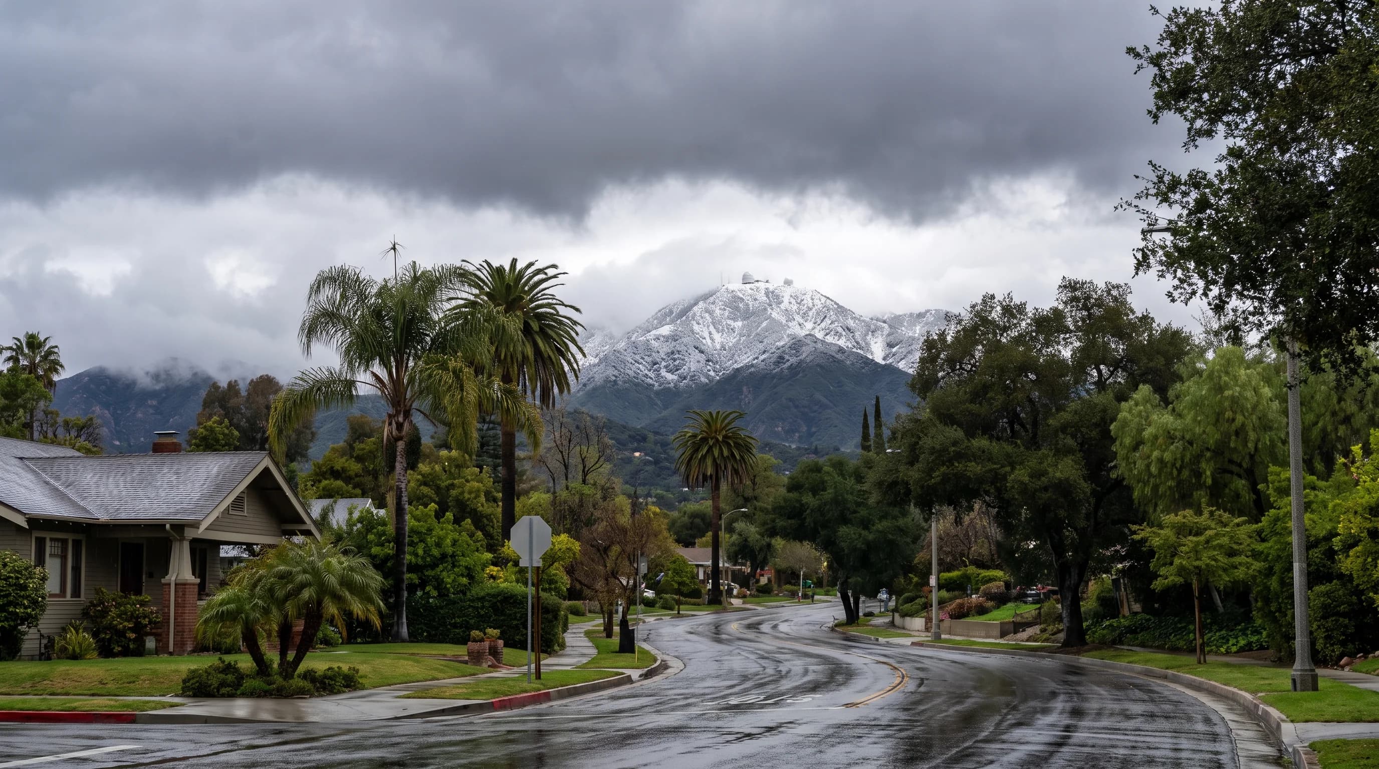
Snow rarely falls on Pasadena streets, even in the city's coldest winter storms. Mount Wilson, the San Gabriel Mountains peak directly north of the city, is often white on the same afternoon. The difference is elevation. Pasadena sits at about 925 feet, and Mount Wilson rises to about 5,700 feet, nearly 4,800 feet higher and less than ten miles away.
Does It Snow in Pasadena?
Snow almost never accumulates in Pasadena. The city sits at about 925 feet in the San Gabriel Valley, and the National Weather Service Los Angeles/Oxnard office records no routine measurable snowfall at that elevation, as across the rest of the low Los Angeles Basin. Mount Wilson, directly behind the city at about 5,700 feet, is high enough that a storm bringing cold rain to Pasadena often leaves the peak and the surrounding Angeles Crest high country snow-covered.
Pasadena and Mount Wilson share one storm, one air mass and one steep slope. The foothill city at the bottom rarely gets snow, and the peak at the top gets it regularly.
| Location | Elevation | What a cold winter storm typically brings |
|---|---|---|
| Pasadena | About 925 feet | Cold rain; measurable city-floor snow is rare |
| Mount Wilson | About 5,700 feet | Snow accumulation during most cold winter storms |
| Wrightwood | Around 6,000 feet | Regular winter snow accumulation most seasons |
| Big Bear Lake | Roughly 6,750 feet | Regular winter snow accumulation and lift-served skiing |
Elevations from WeatherLA destination data. Seasonal snow patterns are consistent with NOAA 1991 to 2020 Climate Normals for Southern California mountain stations.
Why Can Mount Wilson Get Snow While Pasadena Gets Rain?
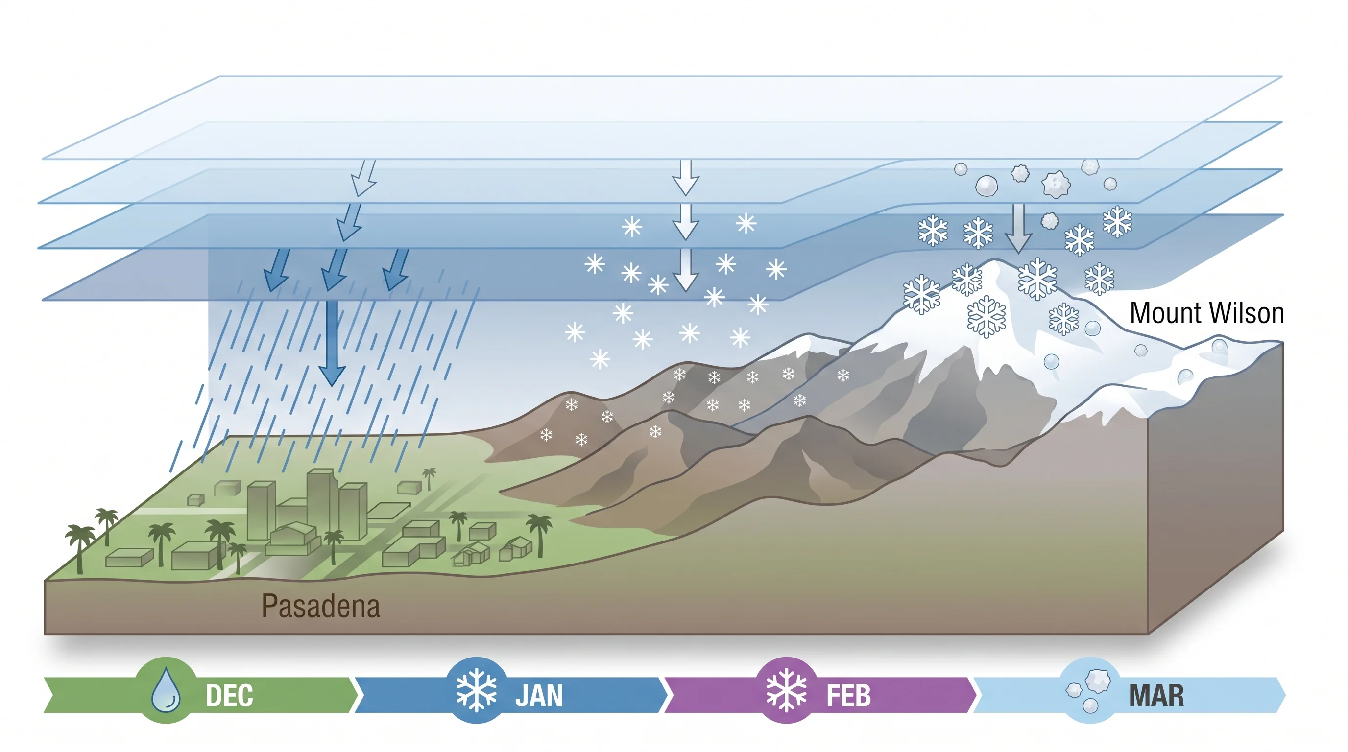
Mount Wilson gets snow while Pasadena gets rain because of the snow level, the elevation above which precipitation falls as snow. The snow level depends on the freezing level, the altitude where air crosses 32°F. Forecasters also use the wet-bulb temperature, which accounts for cooling as a snowflake falls through dry air.
In a cold Southern California winter storm, the snow level usually drops to about 4,000 to 5,000 feet. That is at or below Mount Wilson's summit, so the peak turns white. It is still nearly 4,000 feet above Pasadena, so snow falling toward the city melts into rain before it reaches the ground.
Terrain strengthens the effect. The San Gabriel Mountains rise abruptly from the valley floor, directly behind Pasadena, Altadena and the other foothill communities. Air forced quickly up that mountain front cools further, which can lower the snow level on the mountain and help snow stick on shaded north-facing slopes. Pasadena and Mount Wilson experience the same storm at two points on one slope, and the elevation gap is the whole difference between rain and snow.
When Is Pasadena Snow Most Plausible?
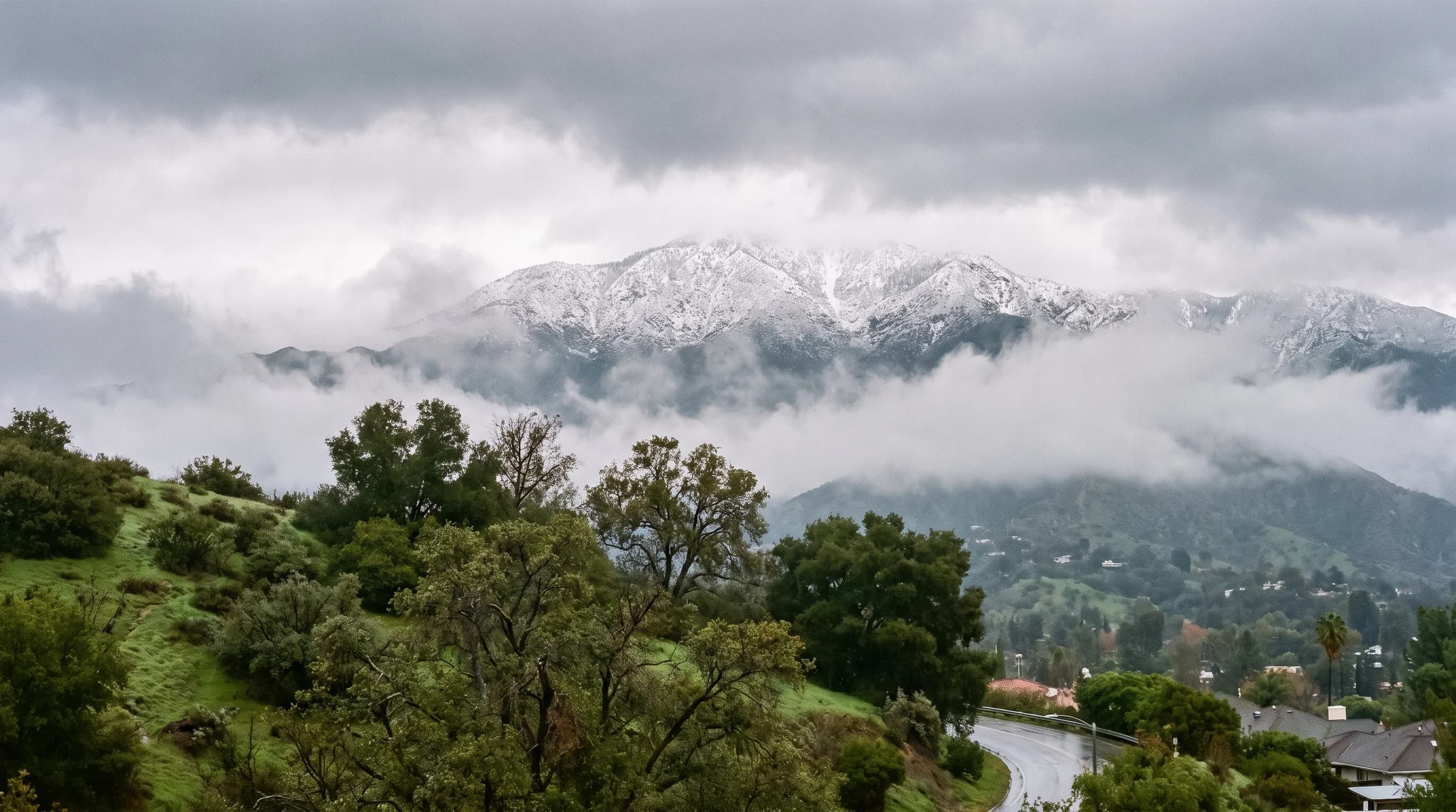
Snow in Pasadena is most plausible when a storm is cold enough to drop the snow level from the usual 4,000 to 5,000 feet down to about 1,000 to 2,000 feet, and still carries enough moisture for real precipitation. Most winters bring one or the other: cold, dry troughs that lower the snow level with little rain, or wetter, milder storms that stay too warm at low elevation. Both at once is uncommon.
A snow level forecast reaching the foothills still does not guarantee snow will stick in Pasadena. Pavement and buildings keep ground temperatures in the city too warm for accumulation, even when flakes fall briefly. In these storms, Pasadena usually gets cold rain, sometimes with graupel, the soft ice pellets often mistaken for snow. Foothill roads a few hundred feet higher pick up a light coating that melts within hours.
What Do Historical Pasadena Snow Reports Establish?
Confirmed snow accumulation on the Pasadena city floor is thinly documented. Many photos and videos labeled Pasadena snow actually show Mount Wilson Road, the Angeles Crest Highway or other foothill roads well above the city, not the streets around the Rose Bowl or Old Pasadena. Southern California's best-known lowland snow event is the January 1949 storm, when snow reached much of the Los Angeles Basin at low elevation. New Year's mornings on Colorado Boulevard are cold but snow-free, averaging about 45°F, as the Rose Parade weather guide shows.
Whether the 1949 storm left lasting snow in Pasadena specifically should be checked against official National Weather Service and NOAA station records.
Mount Wilson's snow record is well documented. Mount Wilson and the surrounding Angeles Crest high country get measurable snow in most winters, as expected at that elevation.
Where Is Snow More Reliable Near Pasadena?
Mount Wilson is the closest reliable snow to Pasadena and the easiest to see from the city, often capped in white after cold storms once the air clears. Snow on the mountain does not mean the summit area is open. Access depends on road conditions, and roads can close with little notice.
For a full winter season with lift-served skiing, Big Bear Lake, at about 6,750 feet in the San Bernardino Mountains, and Wrightwood, at about 6,000 feet in the San Gabriel Mountains, are more dependable than anywhere near Pasadena. Check each destination's elevation and snow season, because even a thousand feet of difference changes the season. For the regional picture, see does it snow in Los Angeles and does it snow in Big Bear Lake.
How Should Pasadena Residents Check a Cold-Storm Forecast?
To check a cold-storm forecast, start with the point forecast and snow level from the NWS Los Angeles/Oxnard office. Check Pasadena's elevation and Mount Wilson's elevation separately, because one snow level can put the peak above the rain-snow line and the city far below it. The snow level can shift by a thousand feet or more as a storm develops, so use the forecast issued closest to the day.
Before driving up Mount Wilson Road or the Angeles Crest Highway during or after a storm, check Caltrans QuickMap for closures and chain controls. San Gabriel Mountain roads close quickly in heavy snow and reopen on no fixed schedule. The NWS winter weather safety guidance covers snow driving and cold-weather precautions.
Pasadena gets rain even in its coldest storms, while Mount Wilson, the mountain on its skyline, turns white in the same weather. Before driving up to see it, or farther to Big Bear Lake or Wrightwood for a snow day, check the current snow level and road status. A cold day in Pasadena does not mean safe, snowy conditions a few thousand feet up.