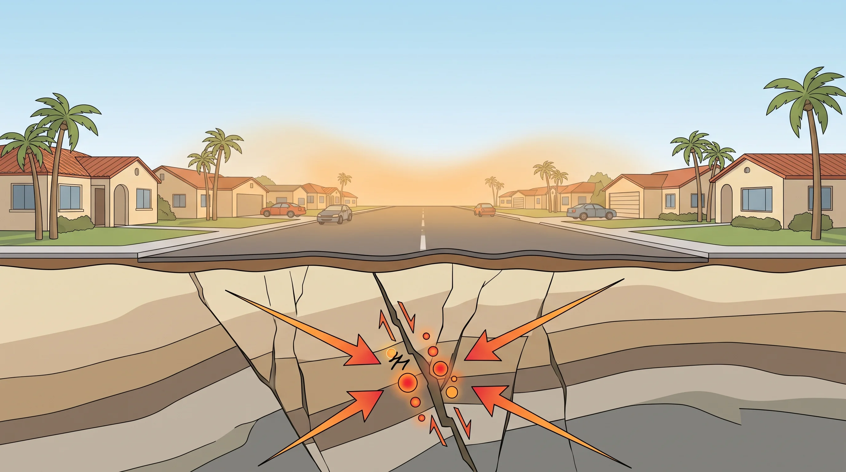
Earthquake weather is not real. No weather pattern, hot spell, still air or drop in air pressure reliably causes or predicts an earthquake.
The idea that a hot, calm, humid day sets up a big quake is Southern California folklore, not a finding of the USGS Earthquake Hazards Program. Earthquakes start miles underground, beyond the reach of surface weather. The belief persists because people remember the weather on the day of a notable quake and forget the thousands of similar days when nothing happened.
Is Earthquake Weather Real?
Earthquake weather is not real, according to decades of seismology research and the USGS, which states there is no such thing. Earthquakes happen in every season and every kind of weather, including rain, fog, heat and cold, at every hour of the day and night. If a weather condition triggered major quakes, it would show up as a pattern in the global earthquake record. It does not.
The earthquake weather myth and earthquake preparedness are two separate things. The myth claims a weather condition causes or forecasts quakes. Preparedness is real and matters in any weather. Believing the myth does not make anyone better prepared, and it can distract from steps that reduce risk: securing furniture, knowing how to drop and cover and having a household emergency plan ready on any day.
| Popular claim | What people believe | What the evidence shows |
|---|---|---|
| Hot, still, humid days | "Earthquake weather" precedes major quakes | No statistical link; Southern California has thousands of hot, calm days with no earthquake, per USGS |
| Sudden temperature swings | Fast warming or cooling sets off faults | Surface temperature changes do not reach fault depth in any way that affects rupture timing |
| Low barometric pressure | Storms or pressure drops "release" strain on faults | Pressure changes at the surface are minute compared to rock stress at fault depth; no established short-term trigger |
| Clear, cloudless skies | Calm skies signal the ground is "building up" energy | Cloud cover has no physical connection to stress accumulation on underground faults |
| Rain or storm activity | Heavy rain triggers slip on nearby faults | Some research has studied whether extreme, sustained rainfall can very slightly change pore pressure in shallow rock; this is not a basis for short-term weather prediction of earthquakes |
| Animal behavior before a quake | Pets act strangely right before shaking starts | Anecdotal and unverified as a forecasting tool; not used by USGS or any seismic monitoring network |
Why Can Weather Not Predict an Earthquake?
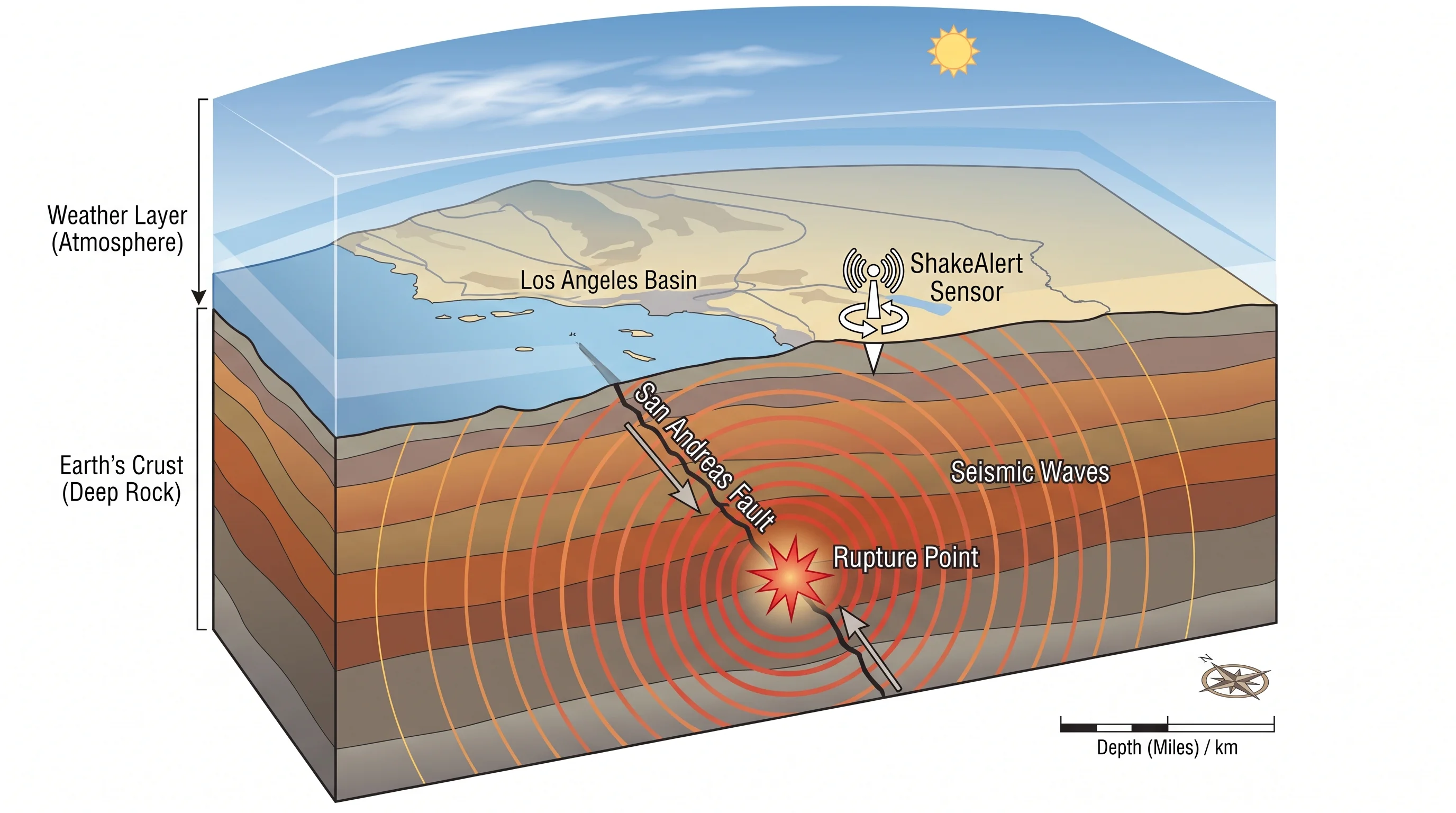
Weather cannot predict an earthquake because weather and earthquakes happen in separate physical systems. Weather is an atmospheric process driven by heat, moisture and air pressure within a few miles of the surface. Earthquakes are a crustal process driven by stress slowly building on faults as tectonic plates move, often several miles underground. In the Los Angeles region, the San Andreas, Puente Hills and Newport-Inglewood faults all lie far below anything the atmosphere can affect.
An earthquake starts when stress on a fault exceeds the friction holding the rock in place and the fault slips. That stress builds over years to centuries of slow tectonic loading, not one afternoon of heat or humidity. The USGS states there is no reliable physical way for surface weather, whether hot, cold, wet, dry, still or windy, to meaningfully change the stress on a deep fault. A single day's weather is tiny compared with the forces already in the crust.
Researchers have studied one narrow link: whether extremely heavy, sustained rain can slightly change water pressure in shallow rock and influence very small earthquakes in specific places. That research concerns tiny quakes, called microseismicity. It does not show that a hot day or a storm can forecast a damaging earthquake, and no seismologist treats it as support for earthquake weather.
Do Heat, Rain, Air Pressure, or Clouds Trigger Major Earthquakes?
Heat, rain, air pressure and clouds have no demonstrated ability to trigger a major earthquake, according to the USGS. Each version of the myth comes from the same habit: someone notices the weather on the day of a memorable quake, and that detail gets repeated until it sounds like a rule.
Heat and still air are the most common version in Southern California, where a hot, calm, hazy day has become shorthand for earthquake weather. The region has hot, still days constantly, especially in late summer and fall, and almost all of them pass with no earthquake. Pressure drops before storms get the same treatment, with the idea that a storm "releases" underground pressure. Surface air pressure changes are tiny compared with the pressure of rock at fault depth, and no known mechanism links the two.
Rain has a more complicated answer, but not the one the myth needs. Scientists have studied whether sustained, extreme rain can change water pressure in shallow rock and line up with minor earthquakes in a few places worldwide. That research concerns small, local effects, not predicting a major earthquake in Los Angeles or anywhere else.
Clouds have no known physical link to fault stress. A cloudy day carries the same earthquake risk as a clear one.
Why Does the Earthquake Weather Myth Persist in Southern California?
The earthquake weather myth persists because of how memory works, not because of a real pattern. Psychologists call it confirmation bias: people remember a hot, still day before a notable earthquake far more than the thousands of similar days with no quake. A memorable quake fixes that day's weather in memory, and the coincidence gets retold as cause and effect.
Southern California is especially prone to the myth for two reasons. First, the region gets long stretches of hot, dry, windless weather, especially during late-summer offshore wind, so a recent hot day is always available to blame after a felt quake. Second, the region has a real, well-known earthquake hazard, so residents look for warning signs.
Earthquakes are one of the few major natural hazards that arrive with no warning at all. A hurricane or heat wave appears in forecasts days ahead. That lack of warning pushes people to find a substitute, even an unreliable one.
Repetition does the rest. People say "earthquake weather" on hot, still days near Downtown Los Angeles or Pasadena, half joking and half believing it, and each repetition makes the phrase sound like local fact. Earthquake weather is folklore: a traditional belief passed along in conversation, like weather sayings elsewhere that fail systematic testing.
Can Any Signal Provide Earthquake Warning?
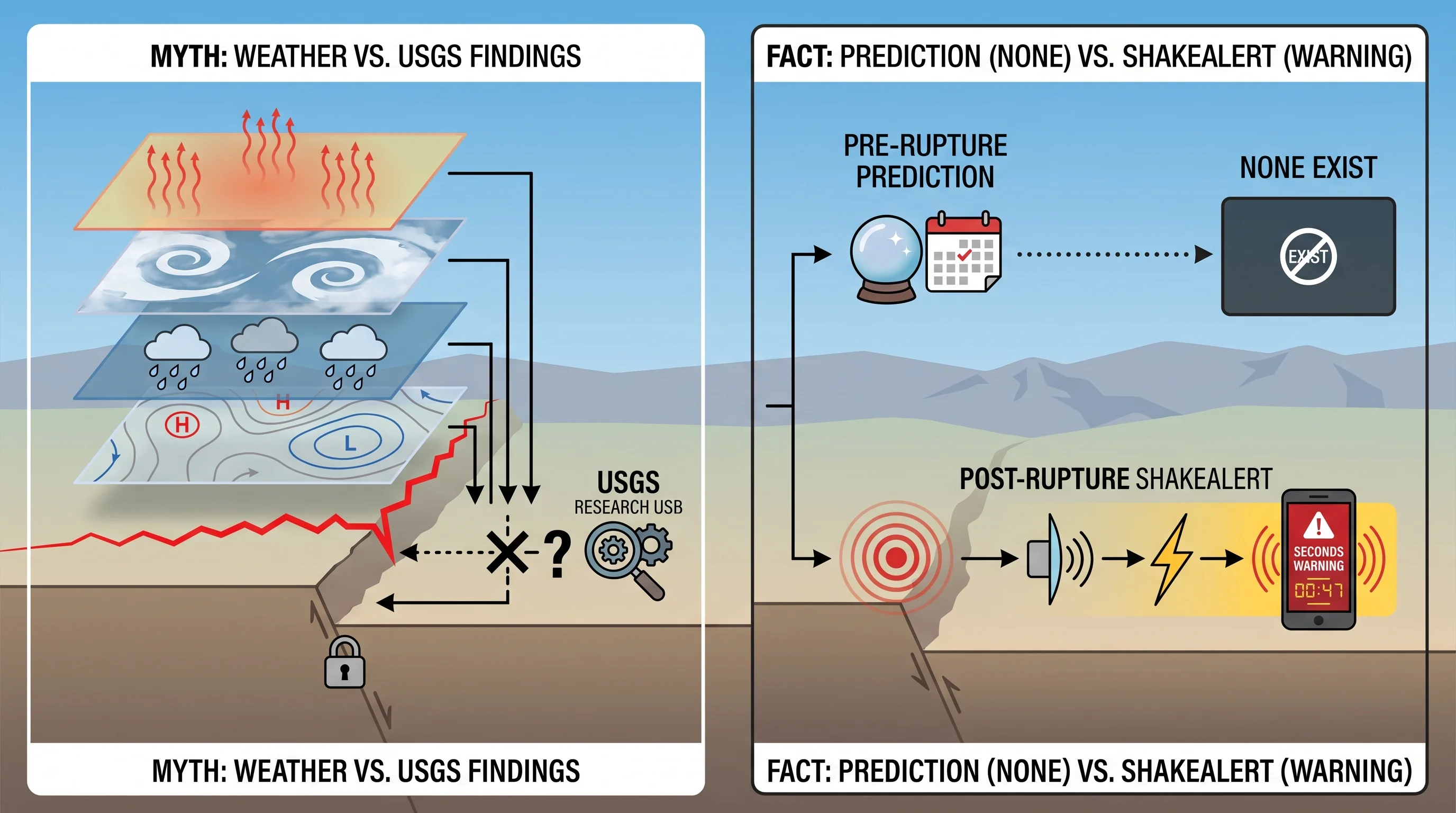
No signal can warn of an earthquake before it starts, but a real system gives seconds of warning after one begins. ShakeAlert, the USGS-led earthquake early warning system for the West Coast, detects the fast, less damaging P-waves released when a fault ruptures. It sends an alert before the slower, more destructive S-waves and surface waves arrive. Depending on distance from the epicenter, that gives a few seconds to about a minute of warning, enough to drop, cover and hold on, or for automated systems to slow trains and open elevator doors.
ShakeAlert is not a forecast. A weather forecast predicts conditions days ahead using well-understood atmospheric physics observed across a wide area. ShakeAlert detects an earthquake that has already started and races the seismic waves to warn people before shaking reaches them. No system can currently say a major earthquake will happen next week, tomorrow or in the next hour, and the USGS states the limits of earthquake prediction plainly.
What Information Should Southern California Residents Actually Use?
For earthquake information, Los Angeles residents should use the USGS Earthquake Hazards Program for seismic hazard, recent activity and fault maps. Enable ShakeAlert-powered alerts on your phone; they are built into modern Android phones and available through the MyShake app. Neither depends on the weather forecast. A weather app on a hot, still morning near Woodland Hills says nothing about that day's earthquake risk.
Real preparedness is a better use of that attention. Secure heavy furniture and water heaters to wall studs. Drop, cover and hold on during shaking instead of running outside.
Keep a household emergency kit with water, food and a flashlight. In older houses, look into seismic retrofits such as foundation bolting and cripple wall bracing. These steps matter every day of the year, whatever the temperature, humidity or cloud cover.
For Southern California weather extremes backed by real science, see how hot is Death Valley for the region's most extreme heat records and is California still in a drought for the current, sourced drought status.
No weather app, temperature reading or cloud pattern can tell anyone whether an earthquake is coming. Use WeatherLA's Los Angeles forecast pages to plan around actual heat, wind and rain. Use USGS and ShakeAlert for earthquake awareness and preparedness. Keep the two questions separate.