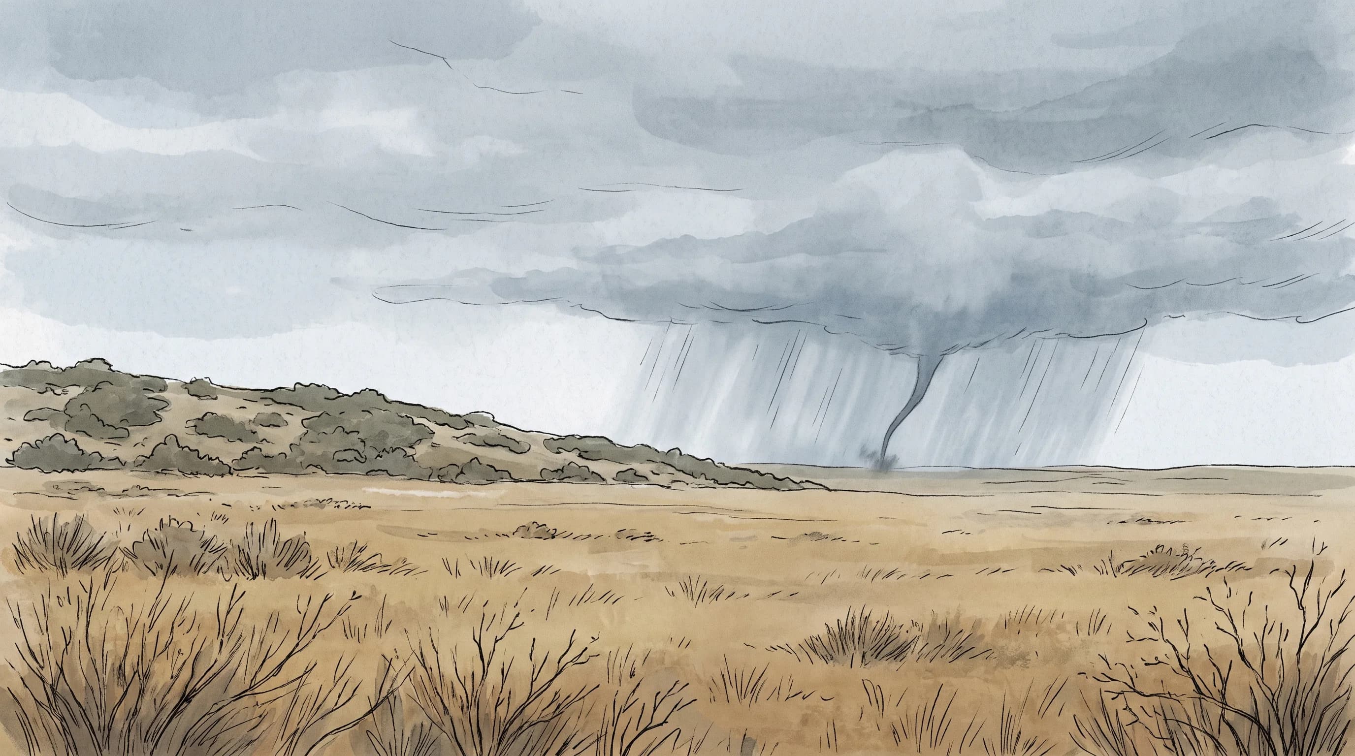
Tornadoes can hit Southern California, but they are uncommon and usually brief compared with the long-track tornadoes of the Great Plains. Records from the National Weather Service and NOAA's National Centers for Environmental Information (NCEI) show scattered confirmed tornadoes across the Los Angeles Basin and coast, including damaging events in Long Beach and Van Nuys. A rare tornado is still a real one, so never ignore a Tornado Warning.
Do Tornadoes Happen in Southern California?
Tornadoes happen in Southern California on a small number of days in most years. A tornado is a violently rotating column of air that reaches from a thunderstorm cloud to the ground, and that definition applies anywhere. Confirmed Southern California tornadoes cluster in and around the Los Angeles Basin and along the coast, with occasional inland events. They are documented in the NCEI Storm Events Database and in NWS San Diego's history of significant Southern California weather events.
Southern California differs from Oklahoma or Texas because the ingredients for strong, long-lived tornadoes rarely line up here. Southern California tornadoes are almost always weak and short-lived. A typical one snaps tree limbs, peels roofing and knocks down fences, then dissipates within a minute or two. That is far less dangerous than a violent Plains tornado on the ground for half an hour, but it is still dangerous for anyone outdoors or in a car.
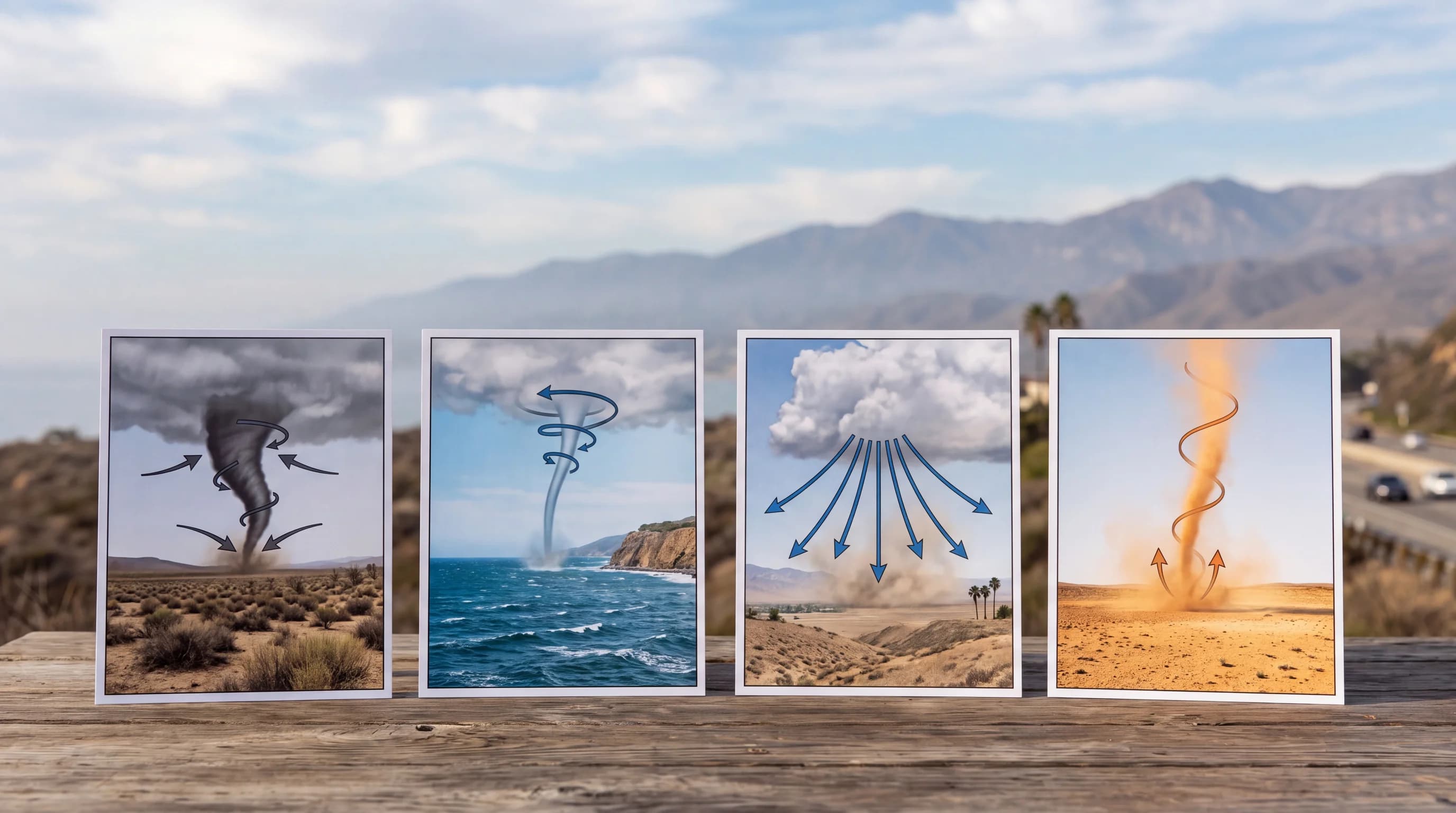
| Phenomenon | Rotation? | Connected to a storm cloud? | Typical Southern California setting |
|---|---|---|---|
| Tornado | Yes | Yes | Cool-season storm over the LA Basin or coast |
| Waterspout | Yes | Sometimes (fair-weather type often is not) | Coastal waters near Malibu and Point Mugu |
| Microburst | No (straight-line outflow) | Yes | Thunderstorm downdraft over the basin or inland valleys |
| Dust devil | Yes | No | Hot, calm days in the desert and inland valleys |
How Can Tornadoes Form Around Los Angeles?
Tornadoes form around Los Angeles when a strong cool-season Pacific storm brings enough wind shear and instability to spin up rotation inside a shower or thunderstorm. Wind shear is a change in wind speed or direction with height, and it starts part of a storm rotating. When shear meets a line of showers moving through cold, unstable air, a narrow zone of rotation can tighten into a brief tornado. That process does not need the towering supercell thunderstorms behind the most destructive Plains tornadoes.
Most Southern California tornado storms are low-topped, meaning the thunderstorm cells are shallower than a Midwest supercell. Low-topped storms still rotate and produce tornadoes, especially when cold air aloft sits over warmer ocean or land air near the surface. Waterspouts are a second, coastal path: a rotating column forms over the ocean, moves onshore and is counted as a tornado once it reaches land. Dry thunderstorms play almost no role in the region's tornado history.
What Does the Southern California Tornado Record Show?
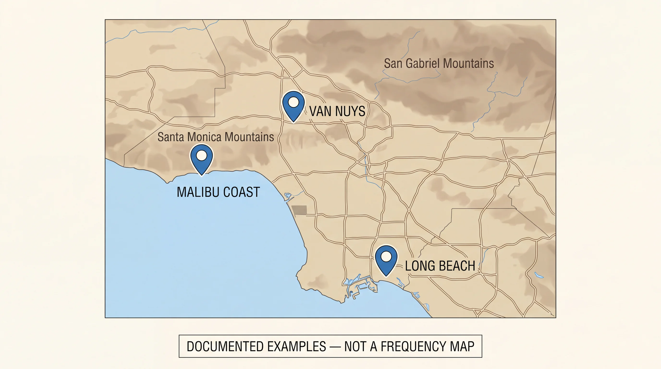
The Southern California tornado record, drawn from NCEI Storm Events data and NWS local histories, shows a small but real list of confirmed tornadoes. Tornadoes have been documented in and around Long Beach, Van Nuys and Hawthorne, and along the coast near Malibu and Point Mugu, where waterspouts have come ashore. Most were rated weak and caused minor to moderate damage. A few caused significant local damage.
Two details matter when reading a tornado record. First, the rating scale changed in 2007: older tornadoes carry Fujita (F) ratings, and later ones carry Enhanced Fujita (EF) ratings, which tie wind estimates to more detailed damage indicators.
The two scales do not convert exactly. Second, weak, brief tornadoes in earlier decades were less likely to be reported or surveyed, especially in less populated areas. The documented count almost certainly understates the true number, so treat the table below as the verified record, not a complete one.
When Are Tornadoes Most Likely in Southern California?
Southern California tornadoes are most likely in the cool season, when strong Pacific storms move through, not in spring and early summer as in Tornado Alley. Documented tornadoes cluster in months when cold, unstable air behind Pacific fronts meets wind shear along the coast and basin. That is the opposite of the Great Plains, where afternoon heating and Gulf moisture drive a spring peak.
No month is completely safe. A strong storm arriving before or after the usual window can still produce rotation, and past tornado dates are spread out. Watch official forecasts during any strong winter storm, not only during a particular week.
Tornado, Waterspout, Microburst, or Dust Devil?
Tornadoes, waterspouts, microbursts and dust devils are four different wind events, and each calls for a different response. A tornado is a rotating column of air connected to a storm cloud and touching the ground.
A waterspout is the same rotation over water. Most Southern California waterspouts form in fair weather along the coast and fade before reaching shore. A waterspout that crosses onto land while still connected to a storm cloud is classified as a tornado. Fire whirls form from a wildfire's own heat, not a thunderstorm; see what is a fire whirl.
A microburst is a sudden, powerful downdraft from a thunderstorm that spreads outward in straight lines when it hits the ground. A microburst can snap trees and damage buildings in a small area with no rotation at all.
A dust devil is a fair-weather whirlwind that forms from strong ground heating on a hot, calm day, with no thunderstorm. Dust devils are common in the Southern California desert and inland valleys and are almost always harmless, though strong ones occasionally cause minor damage or injury. For straight-line wind damage, see microbursts in Southern California thunderstorms.
What Should You Do During a Tornado Warning in LA?
During a Tornado Warning in Los Angeles, move immediately to a small interior room on the lowest floor of a sturdy building, away from windows, and cover your head and neck. A Tornado Warning means a tornado is happening or about to happen in the warned area. The warning covers a specific area drawn around the storm's path, not a whole city or county. Check whether your location is inside that area.
Mobile homes and vehicles offer little protection, so leave them for a sturdy building if one is reachable in time. Beaches, piers and open coastal areas near Malibu carry extra risk from waterspouts moving ashore with little warning.
Open areas near downtown Los Angeles or Pasadena offer no shelter if rotation is reported nearby. NWS Los Angeles/Oxnard covers LA and Ventura counties, and NWS San Diego covers the southern coast. Both issue warnings in real time, and the NWS tornado safety guidance is the authoritative source during an event.
Tornadoes in Southern California are rare compared with the Plains, and the record shows they are real enough that every warning needs an immediate response. Before a storm arrives, check the forecast and wind conditions for your area on WeatherLA's Los Angeles destination pages. During any Tornado Warning, get inside and away from windows right away. Our Southern California waterspout guide covers the coastal version, and weather watch versus warning explains alert levels.